
Map · 16 places
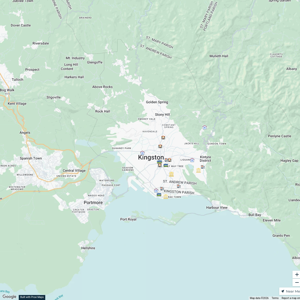
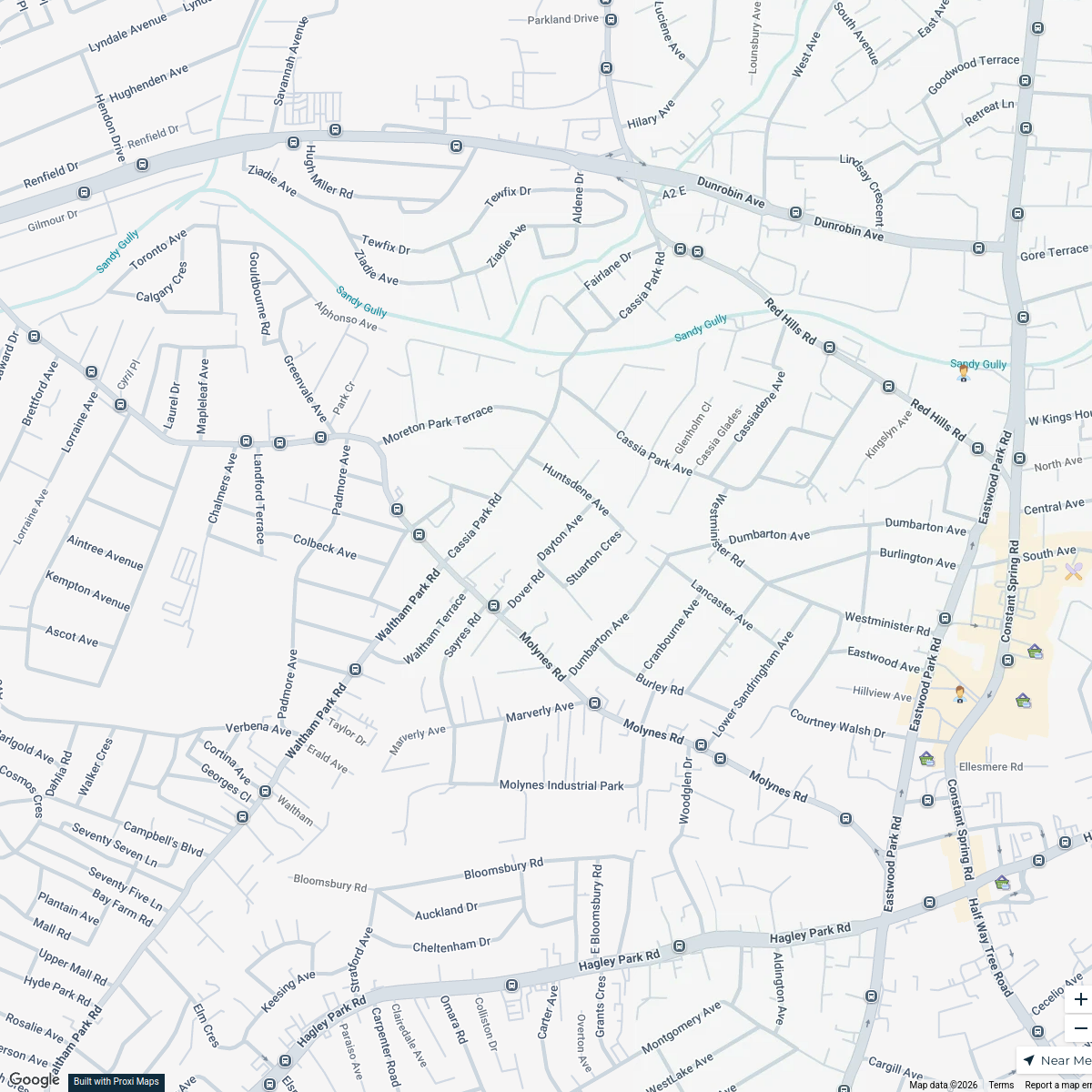
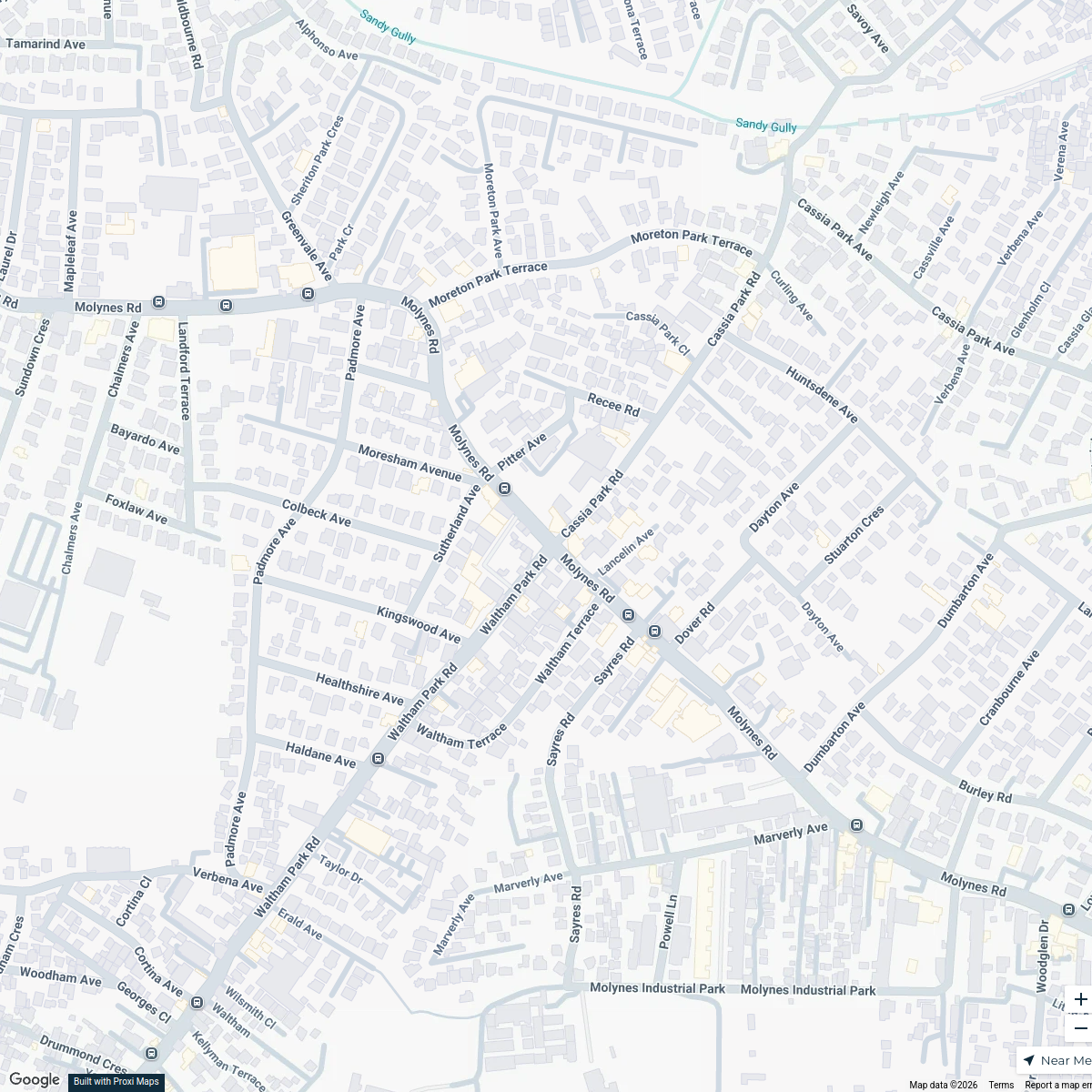
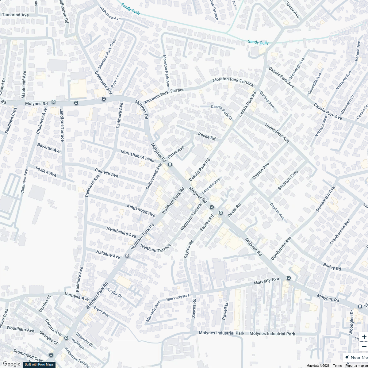
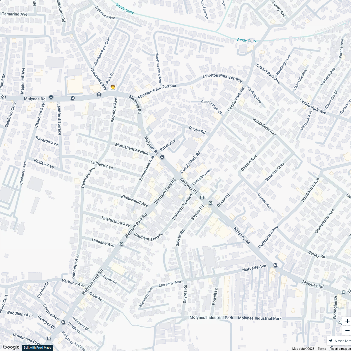
Land Use Map of Kingston, Jamaica
A comprehensive map showcasing the diverse land use patterns in Kingston, Jamaica. This map highlights residential, commercial, industrial, recreational, and open spaces within the city, providing insights into urban development and planning.
Made by Weston Spencer's WorkspaceUpdated Sep 2024
- Parks and Recreation 5
- Cultural Sites 3
- Educational Institutions 2
- Industrial Zones 2
- Transportation Infrastructure 2
- Commercial Districts 1
- Residential Areas 1
Places on This Map
16 places · 7 groupsNearby Maps
Social Infrastructure in Kingston
20 stops Lejay Dwyer's Workspace
Kingston Business Map
18 stopsLejay Dwyer's WorkspaceCafes in Kingston
20 stops · Kingston, JamaicaLejay Dwyer's WorkspaceKingston Infrastructure Map
20 stopsLejay Dwyer's WorkspaceKingston Infrastructure Map
20 stops · Kingston, JamaicaLejay Dwyer's WorkspaceKingston Infrastructure Map
20 stops · Kingston, JamaicaLejay Dwyer's Workspace
This map was made with Proxi
Have a main street, a market, or a story worth walking? Make your own map in a few minutes.