
Map · 20 places
Kingston Infrastructure Map
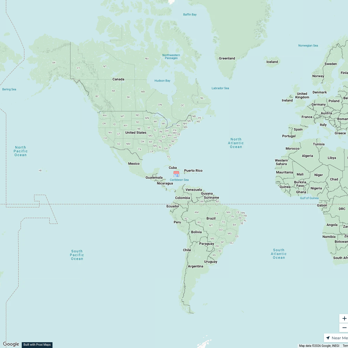
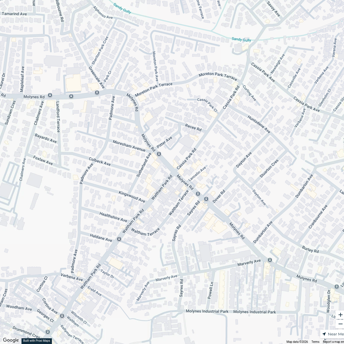
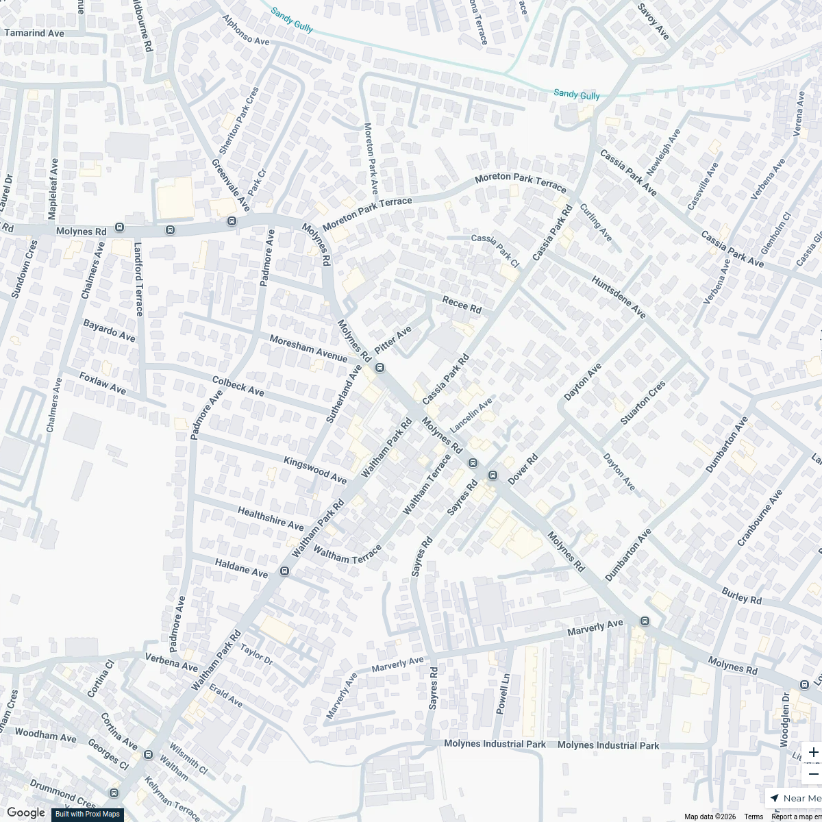
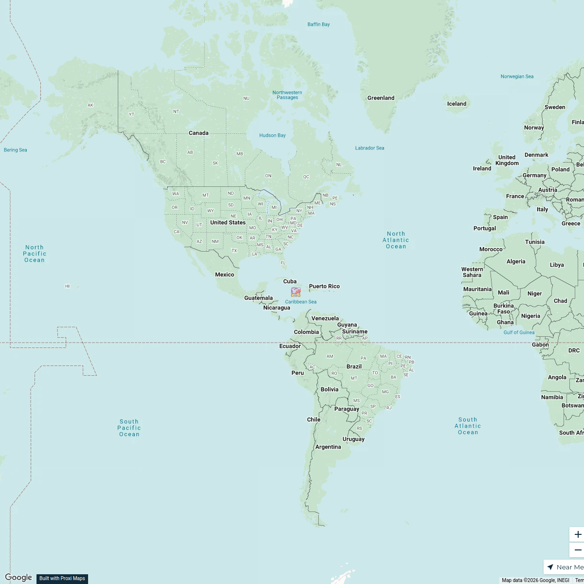
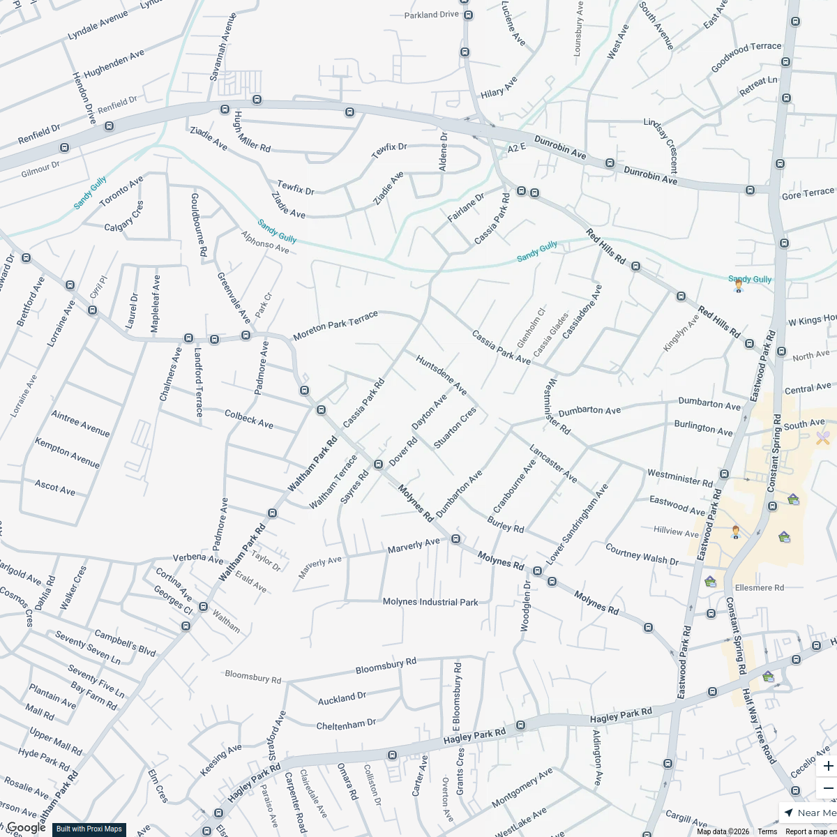
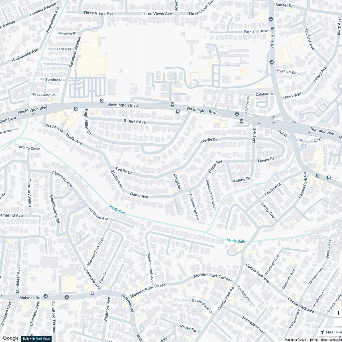
This map highlights key physical infrastructure in Kingston, Jamaica, including transportation and civic amenities. It's designed to assist users in identifying and exploring essential facilities within the area.
Made by Lejay Dwyer's WorkspaceUpdated Sep 2024
- education 5
- government 5
- healthcare 5
- transportation 5
Places on This Map
20 places · 4 groupsNearby Maps
Cafes in Kingston
20 stops · Kingston, Jamaica Lejay Dwyer's Workspace
Kingston Infrastructure Map
20 stopsLejay Dwyer's WorkspaceKingston Infrastructure Map
20 stops · Kingston, JamaicaLejay Dwyer's WorkspaceRomantic Spots in Kingston
18 stopsLejay Dwyer's WorkspaceKingston Business Map
18 stopsLejay Dwyer's WorkspaceLand Use Map of Kingston, Jamaica
16 stops · Kingston, Jamaica Weston Spencer's Workspace
This map was made with Proxi
Have a main street, a market, or a story worth walking? Make your own map in a few minutes.