
Map · 20 places
Social Infrastructure in Kingston
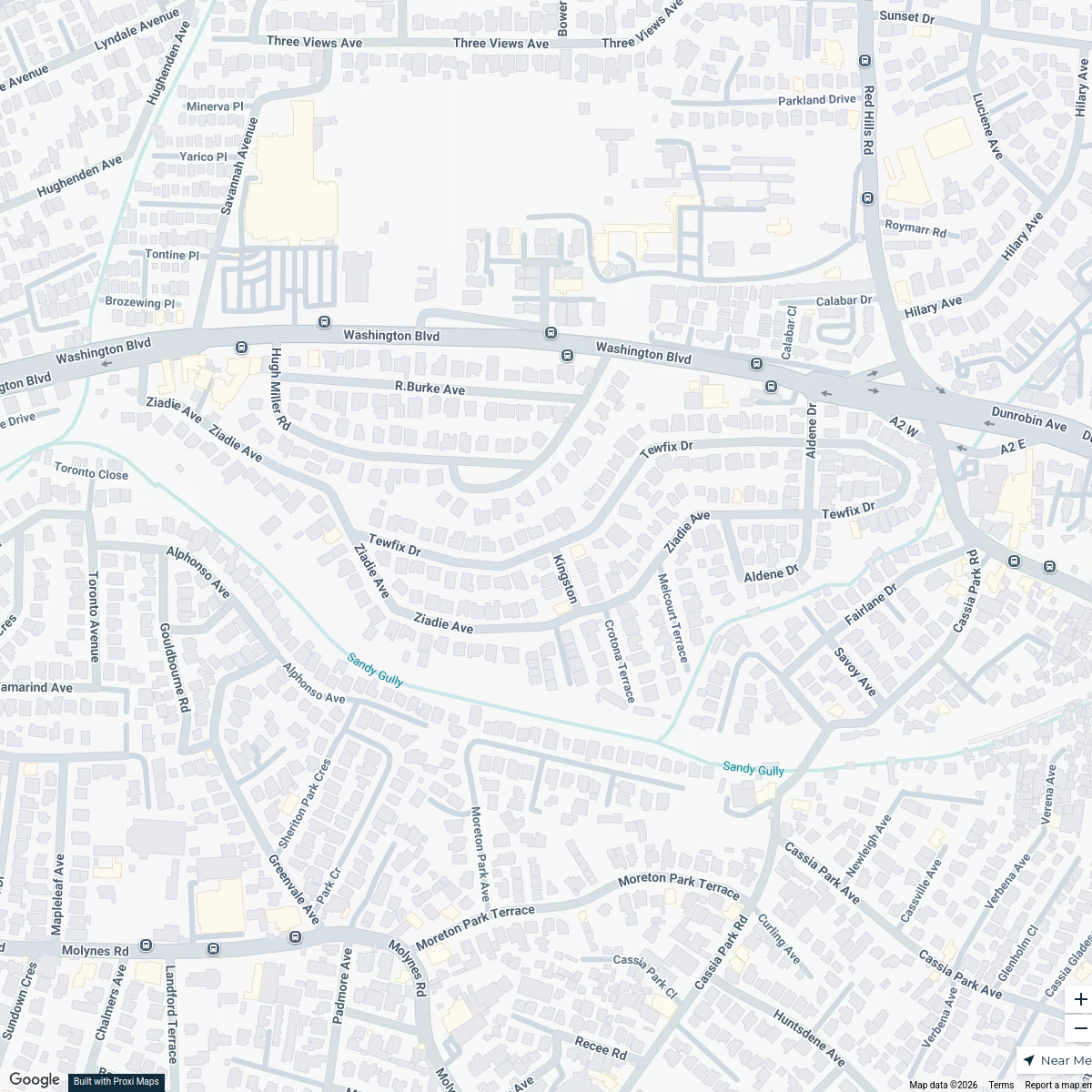
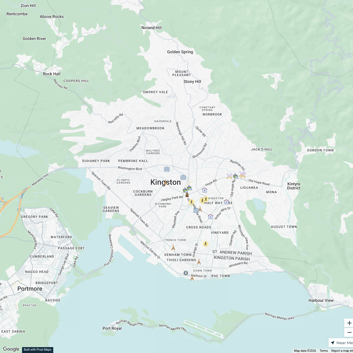
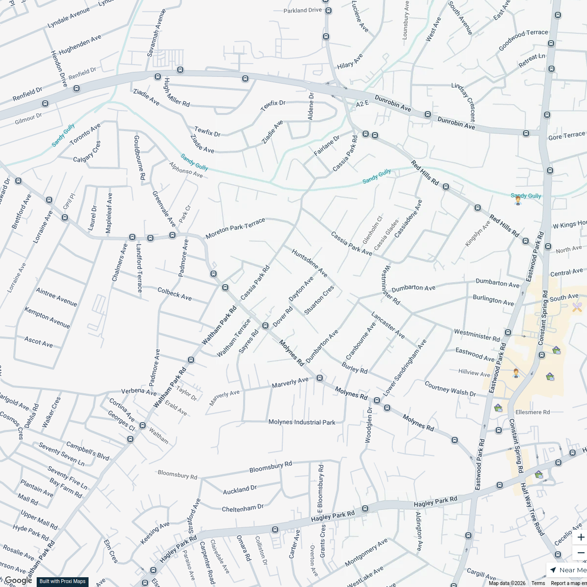
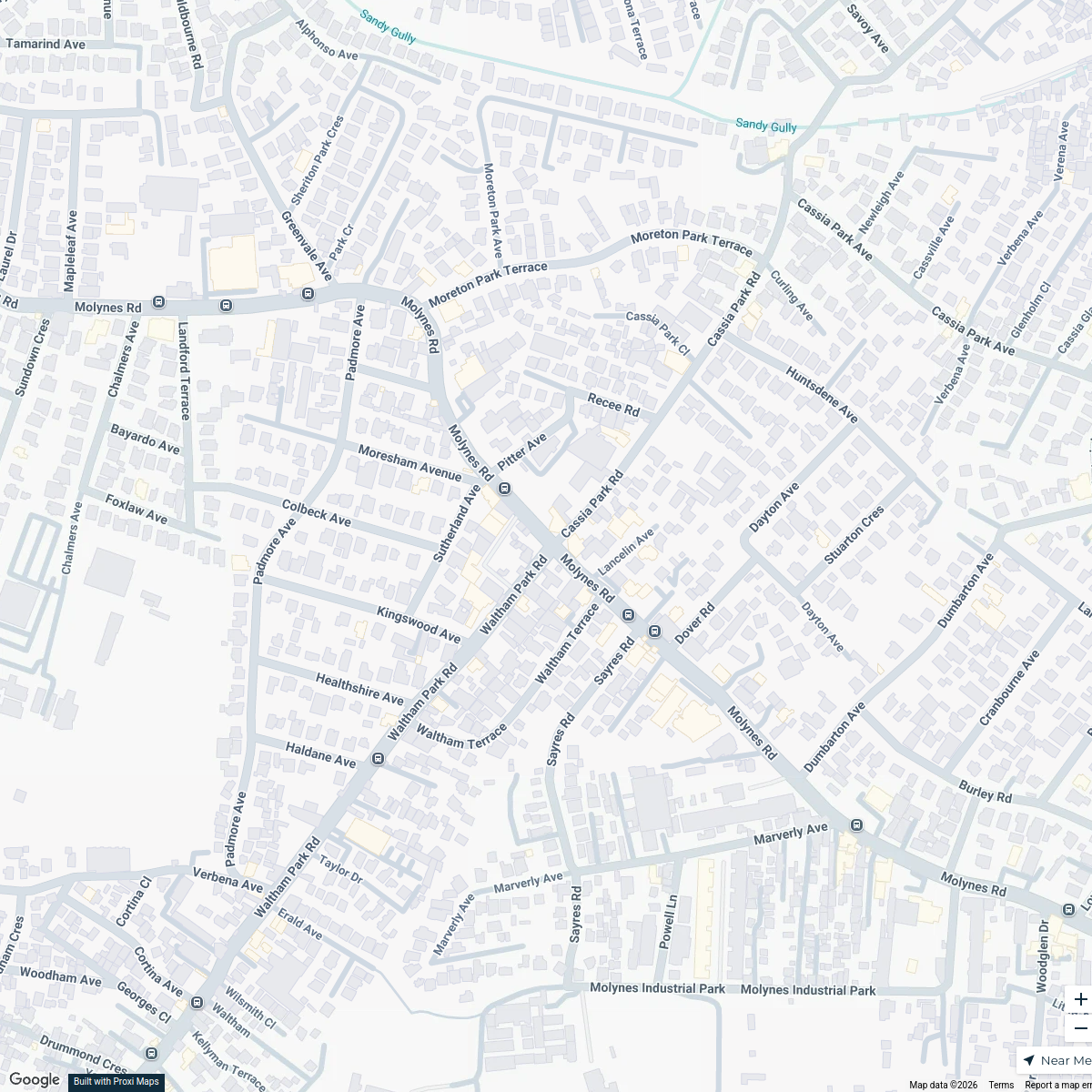
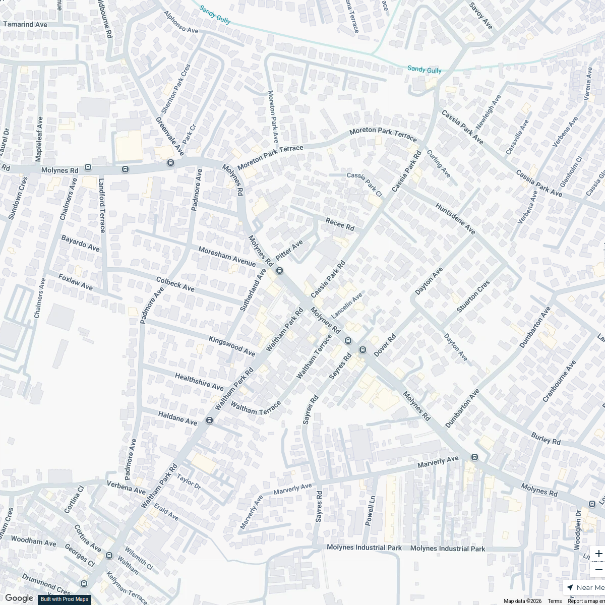
This map highlights key social infrastructures in Kingston, Jamaica, including community centers, schools, and healthcare facilities. It provides an overview for residents and visitors interested in vital community resources.
Made by Lejay Dwyer's WorkspaceUpdated Sep 2024
- community center 4
- hospital 4
- library 4
- public transport 4
- school 4
Places on This Map
20 places · 5 groupsNearby Maps
Land Use Map of Kingston, Jamaica
16 stops · Kingston, Jamaica Weston Spencer's Workspace
Kingston Central Business District
22 stops Lejay Dwyer's Workspace
Kingston Business Map
18 stopsLejay Dwyer's WorkspaceCafes in Kingston
20 stops · Kingston, JamaicaLejay Dwyer's WorkspaceKingston Infrastructure Map
20 stopsLejay Dwyer's WorkspaceKingston Infrastructure Map
20 stops · Kingston, JamaicaLejay Dwyer's Workspace
This map was made with Proxi
Have a main street, a market, or a story worth walking? Make your own map in a few minutes.