
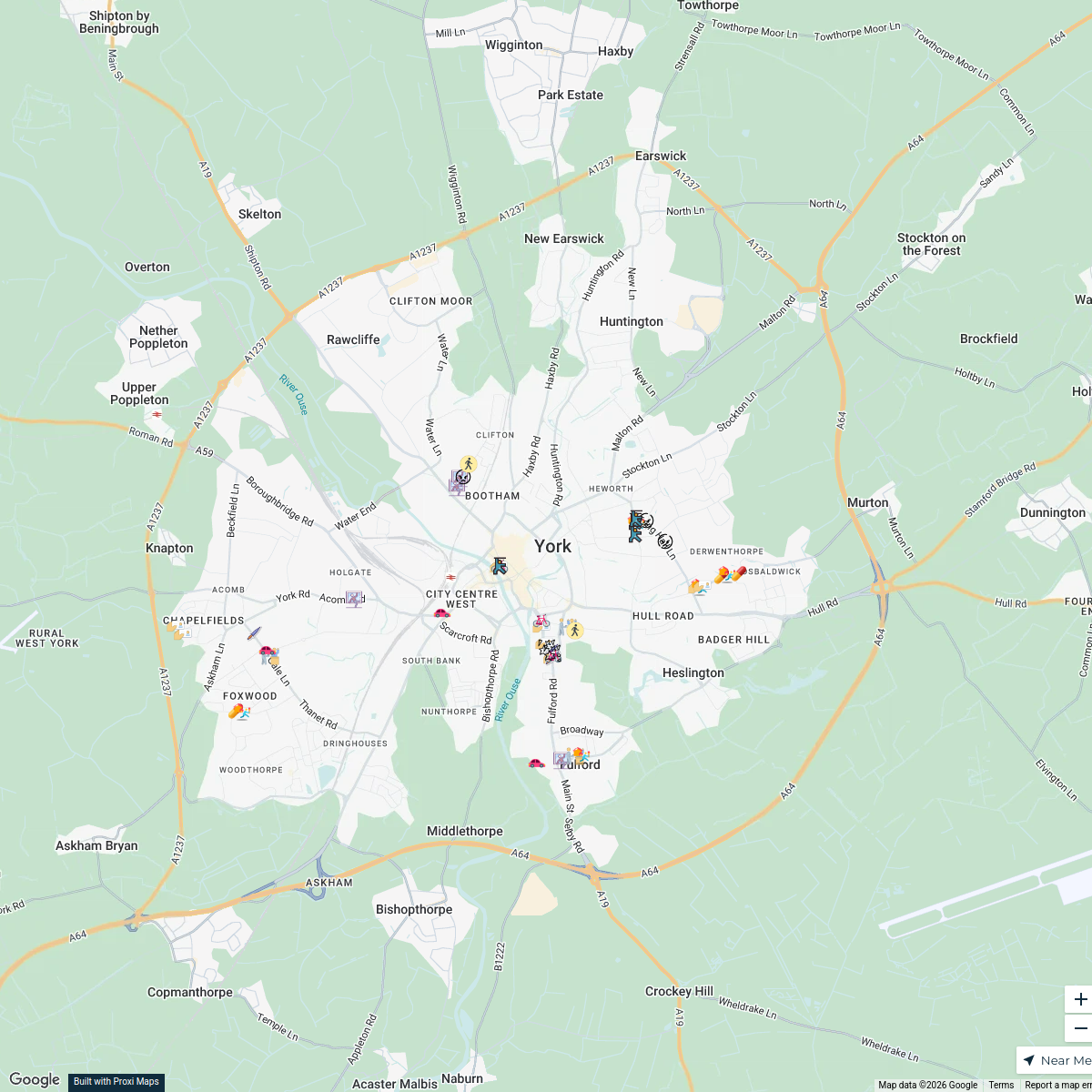
Map · 18 places
York City 1150 AD
Explore York as it appeared in the year 1150 AD, featuring key historical landmarks, the layout of streets, and significant areas during the medieval period. This map provides a glimpse into the urban environment of one of England's most iconic cities during the time.
Made with ProxiUpdated Dec 2025
- Historical Sites 9
- Cultural Heritage 8
- Landmarks of York 1
Places on This Map
18 places · 3 groupsNearby Maps
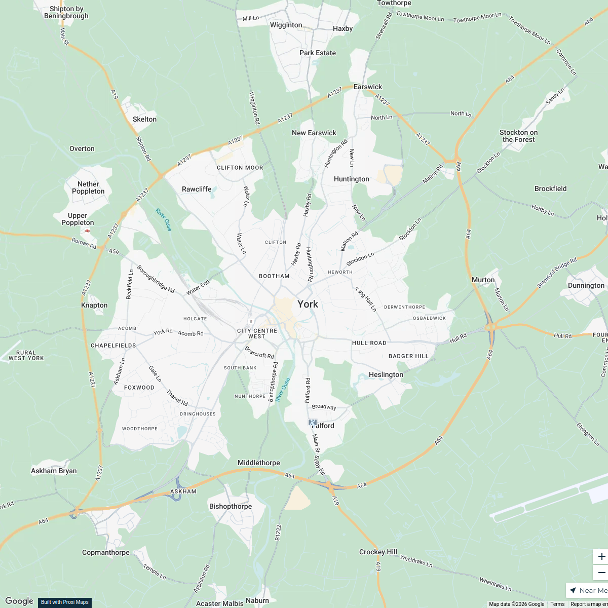
Crime Hotspots in York, UK
46 stops · York, UK b.leung's Workspace
York Crime Map
1 stop · York, UKb.leung's WorkspaceCrime Map of YO10, York
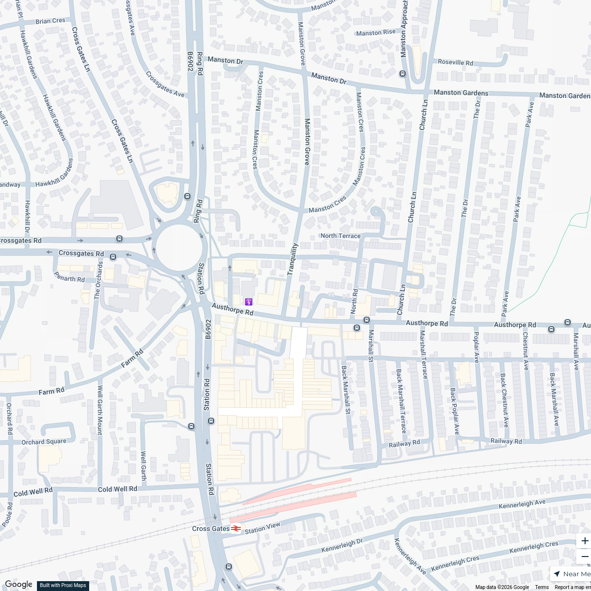
2 stops · York, UKb.leung's WorkspaceCross Gates Methodist Church Hall Location Map
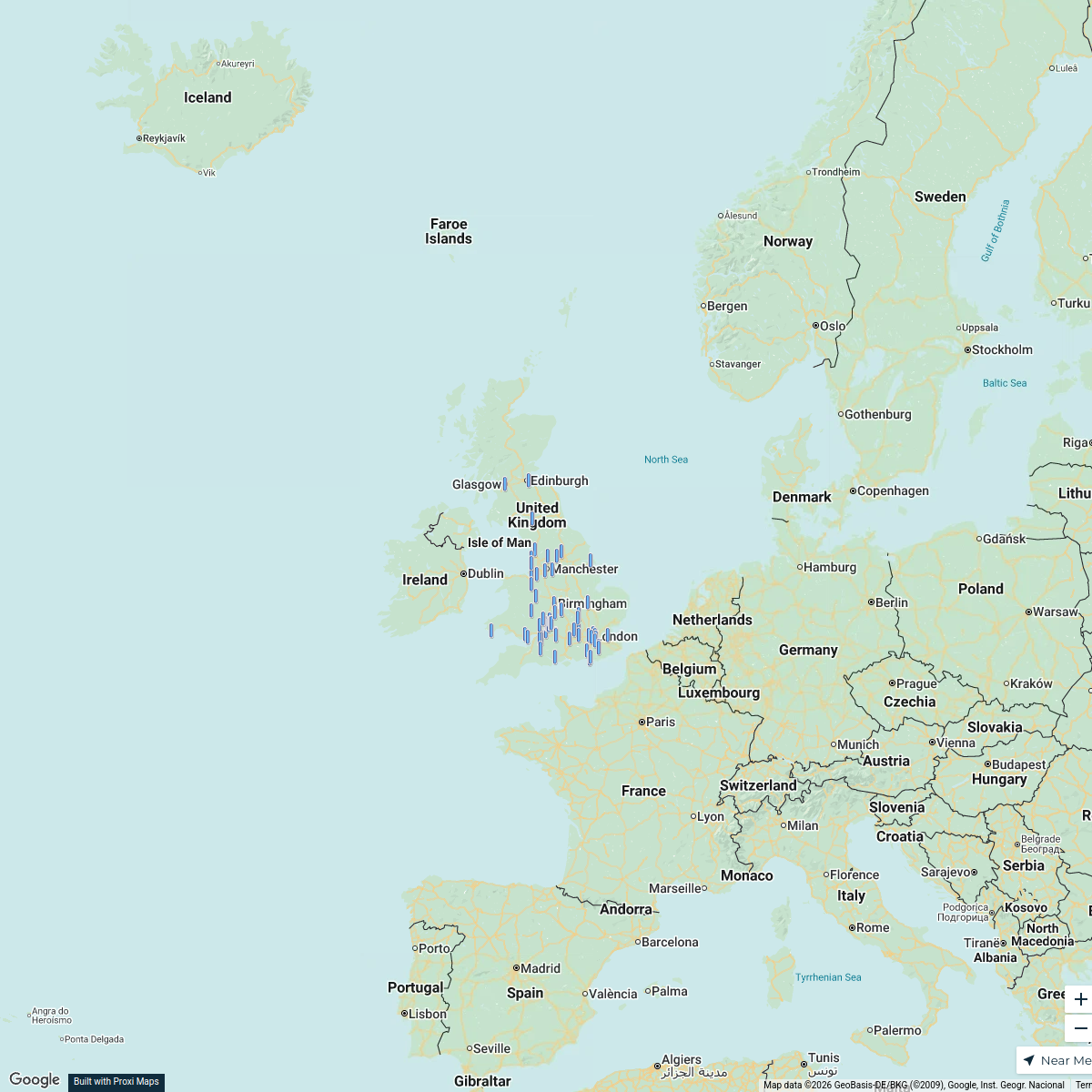
1 stopandrew.ryland's WorkspaceCBUK/WW map!
64 stops skirkwood-horne's Workspace
Music Venues Near Nottingham Forest
7 stops · Nottingham Forest Football Club Ticket Office, Pavilion Road, West Bridgford, Nomowen's Workspace

This map was made with Proxi
Have a main street, a market, or a story worth walking? Make your own map in a few minutes.