
Map · 1 place
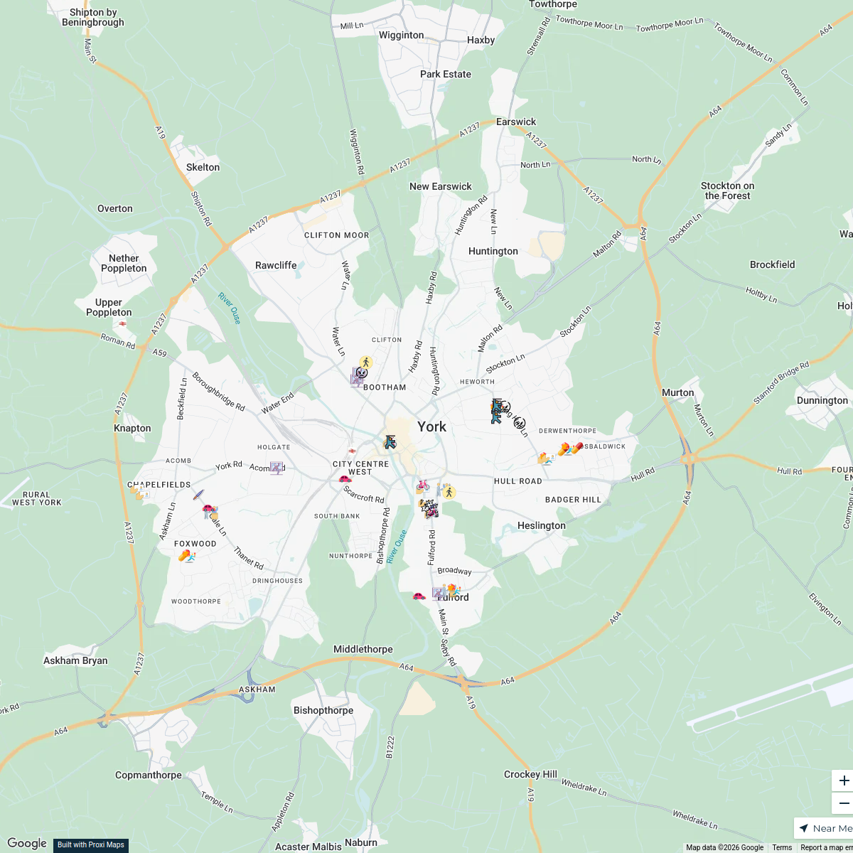
York Crime Map
A comprehensive map displaying crime statistics and incidents in the YO10 postcode area of York, UK. The map provides a visual representation of the types and frequency of crime, helping residents and visitors understand safety levels in different parts of the city.
Made by b.leung's WorkspaceUpdated Mar 2025
Places on This Map
1 placeOpen the map to see what’s on it.
Nearby Maps
Crime Hotspots in York, UK
46 stops · York, UK b.leung's Workspace
Crime Map of YO10, York
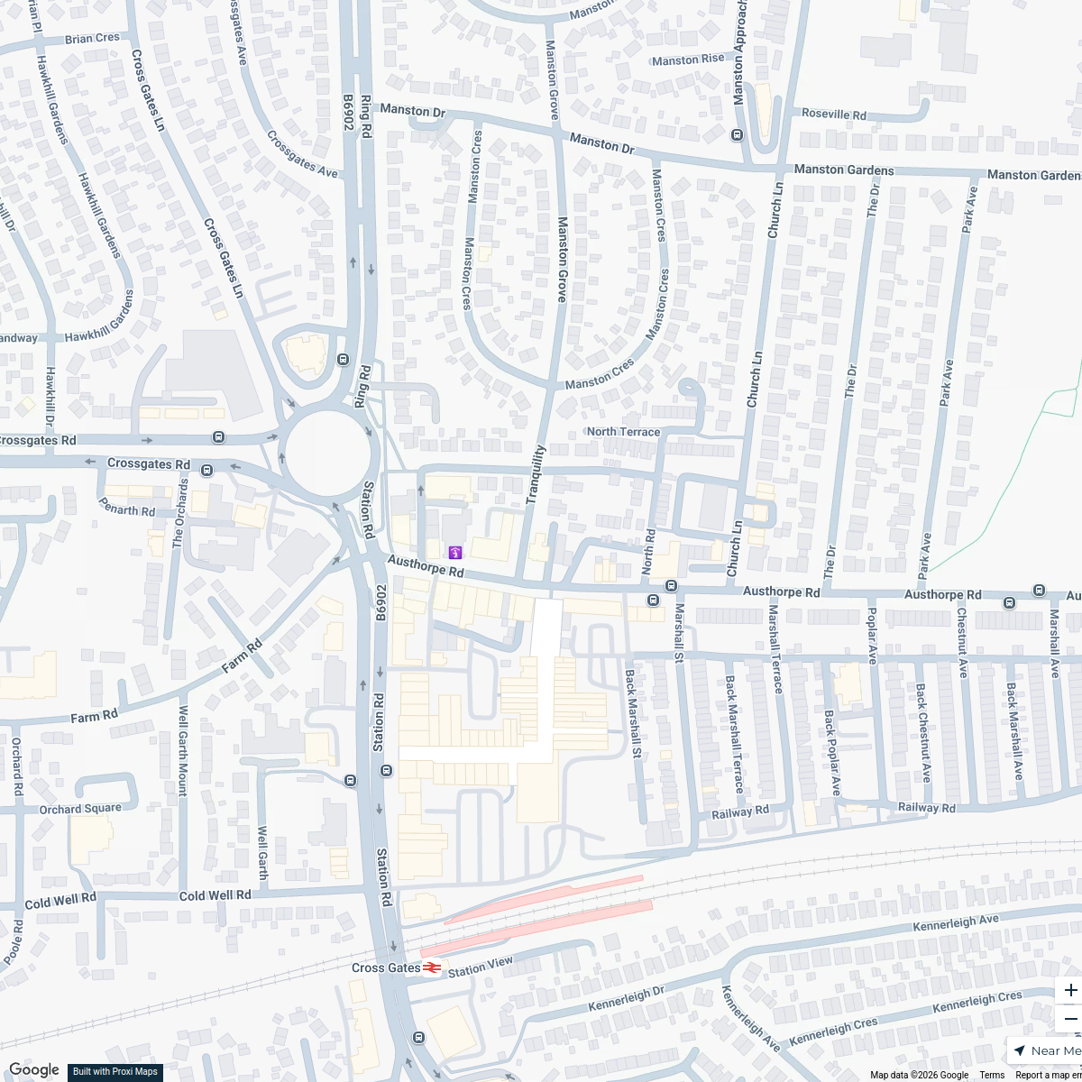
2 stops · York, UKb.leung's WorkspaceCross Gates Methodist Church Hall Location Map
1 stopandrew.ryland's WorkspaceCBUK/WW map!
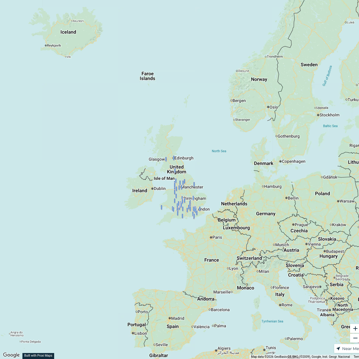
64 stops skirkwood-horne's Workspace
Music Venues Near Nottingham Forest
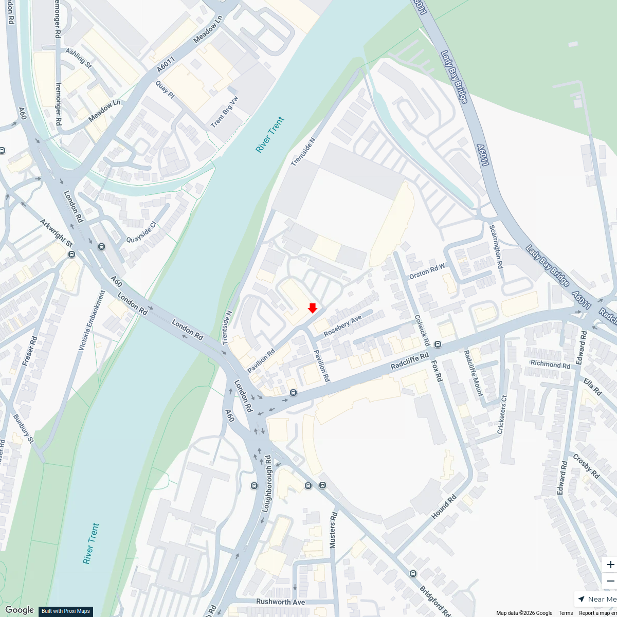
7 stops · Nottingham Forest Football Club Ticket Office, Pavilion Road, West Bridgford, Nomowen's WorkspaceUK Trip
15 stopsAditya Santhanam's Workspace

This map was made with Proxi
Have a main street, a market, or a story worth walking? Make your own map in a few minutes.