
Map · 15 places · Pittsburgh, PA
Pittsburgh in 1820
Discover the quirkiest and historical sites in Pittsburgh, PA, in the year 1820, where every corner has a story, and maybe an invisible ghost to share it with you!
Made with ProxiUpdated Jul 2025
- Museums 2
- Bars 1
- Civil Services 1
- Educational Institutions 1
- Historical Sites 1
- Industrial Sites 1
- Libraries 1
- Markets 1
- Parks 1
- Recreational Areas 1
- Religious Sites 1
- Restaurants 1
- Shopping Districts 1
- Transportation 1
Places on This Map
15 places · 14 groupsNearby Maps
Shadyside Neighborhood Map
18 stops · Shadyside, Pittsburgh, PA, USA WPSBC Outreach
Hot Wing Map
307 stops Luke Barnhart's Workspace
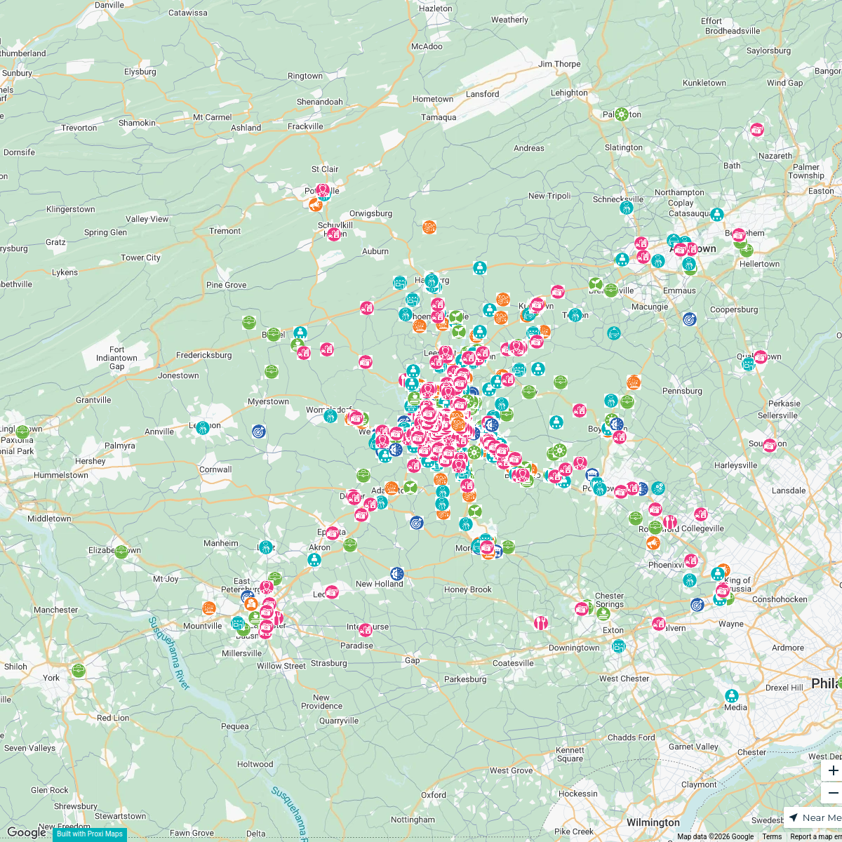
GRCA Membership Map
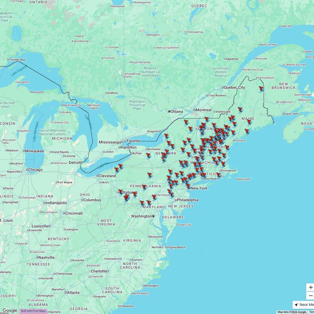
909 stops · Berks County, PA, USAGreater Reading Chamber AllianceThe Northeast Ski Map
118 stops Travel Like Jess
2025 TLJ Holiday Map
357 stopsTravel Like JessWhere to Eat & Play Map
162 stopsTravel Like Jess


This map was made with Proxi
Have a main street, a market, or a story worth walking? Make your own map in a few minutes.