
Map · 18 places · Wilkinsburg, PA
Shadyside Neighborhood Map
A detailed map of the Shadyside area in Pittsburgh, PA, showcasing local businesses, parks, cultural sites, and community resources.
Made by WPSBC OutreachUpdated Apr 2026
- Cafes 5
- Historical Sites 3
- Parks 3
- Transportation 3
- Restaurants 2
- Shops 2
Places on This Map
18 places · 6 groupsNearby Maps
Hot Wing Map
307 stops Luke Barnhart's Workspace
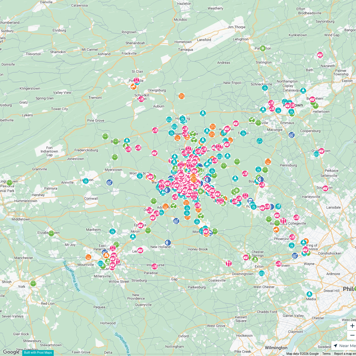
GRCA Membership Map
909 stops · Berks County, PA, USA Greater Reading Chamber Alliance
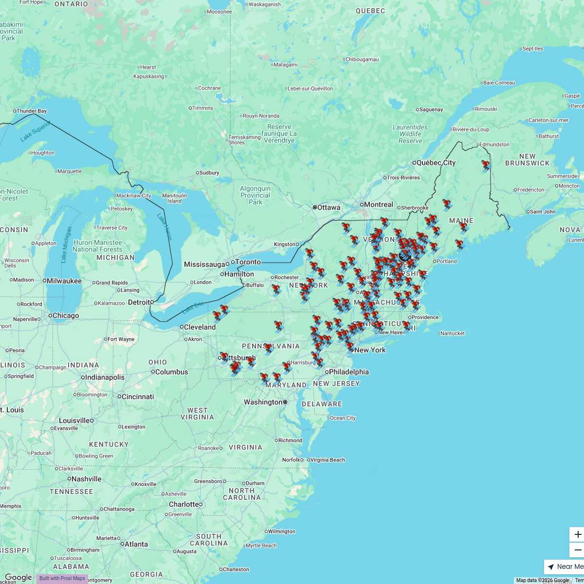
The Northeast Ski Map
118 stops Travel Like Jess
2025 TLJ Holiday Map
357 stopsTravel Like JessWhere to Eat & Play Map
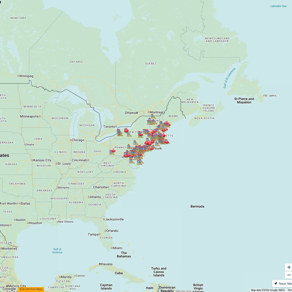
162 stopsTravel Like JessWeird & Wonderful Map
547 stopsTravel Like Jess


This map was made with Proxi
Have a main street, a market, or a story worth walking? Make your own map in a few minutes.