
Map · 16 places
Hospital Road Development Models
A comprehensive map showcasing three alternative site development models for conceptual spatial planning along Hospital Road in Kisii, Kenya. This map will serve as a visual guide to understand the potential changes and improvements to urban planning and development in this area.
Made with ProxiUpdated Apr 2025
- Healthcare Facilities 11
- Community Amenities 2
- Transport Infrastructure 2
- Urban Development 1
Places on This Map
16 places · 4 groupsNearby Maps
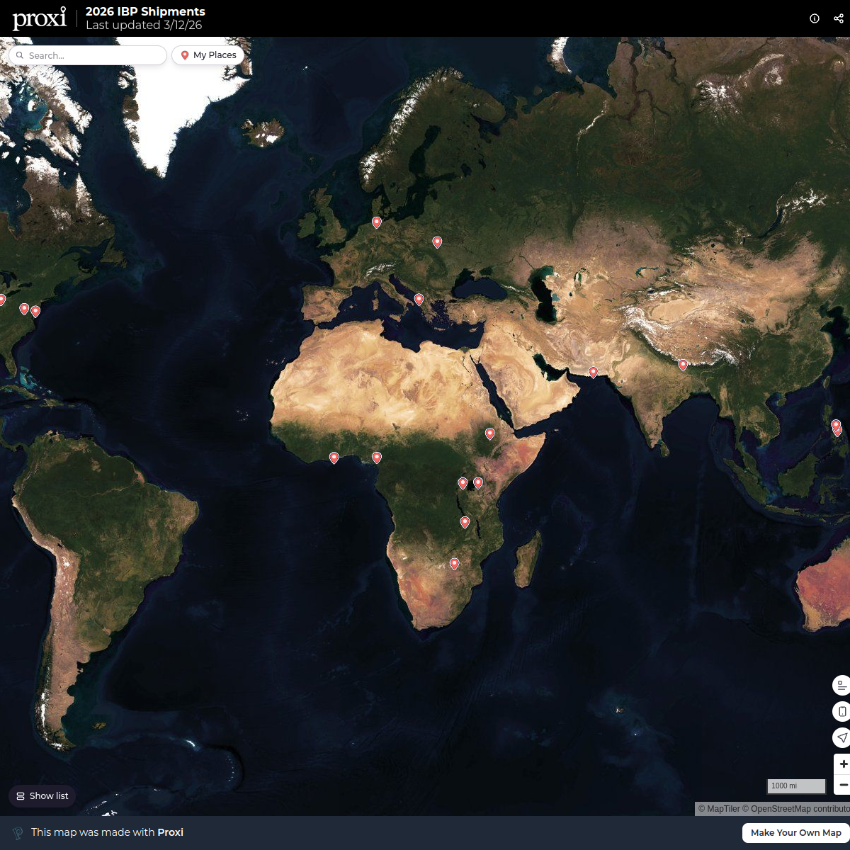
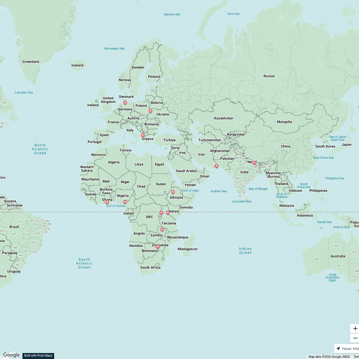
2026 IBP Shipments
21 stops rachel's Workspace
My Proxi Map
12 stopsrachel's WorkspaceCommunity Map
Tombe Town Exploration Map
15 stops · Tombe, KenyaShared by the Proxi communityCommunity Map
Kisumu Adventure Map
15 stops · West Nyakach, KenyaShared by the Proxi communityCommunity Map
Kisumu Target Implementation Map
16 stops · Kisumu, KenyaShared by the Proxi communityCommunity Map
Kenya Rivers Map
15 stops · KenyaShared by the Proxi community
This map was made with Proxi
Have a main street, a market, or a story worth walking? Make your own map in a few minutes.