
Map · 16 places
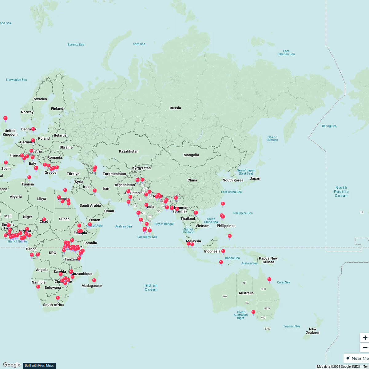
Kisumu Target Implementation Map
A map highlighting key locations for training, demonstration farms, and community outreach activities in and around Kisumu.
Made with ProxiUpdated Dec 2024
- Village 6
- Sub-County 3
- Town 3
- City 1
- County 1
- Geographical Location 1
- Neighborhood 1
Places on This Map
16 places · 7 groupsNearby Maps
Global Cultural Heritage
168 stops · Asia Sania Irfan's Workspace
Community Map
Kisumu Training and Outreach Locations
16 stops · Kisumu, KenyaShared by the Proxi communityCommunity Map
Sugar Mills in Kenya
1 stop · BUNGOMA LINE SHUTTLE BOOKING OFFICE, Behind Kobil Petrol Station-Kamas, WQ33+8C5Shared by the Proxi communityCommunity Map
Kisumu County Highlights
15 stops · VQFP+C7, Kisumu, KenyaShared by the Proxi communityCommunity Map
Kisumu Commercial Zone Map
16 stops · WPFH+HRR, Kisumu, KenyaShared by the Proxi communityCommunity Map
Explore Kisumu County
3 stopsShared by the Proxi community
This map was made with Proxi
Have a main street, a market, or a story worth walking? Make your own map in a few minutes.