
Map · 22 places
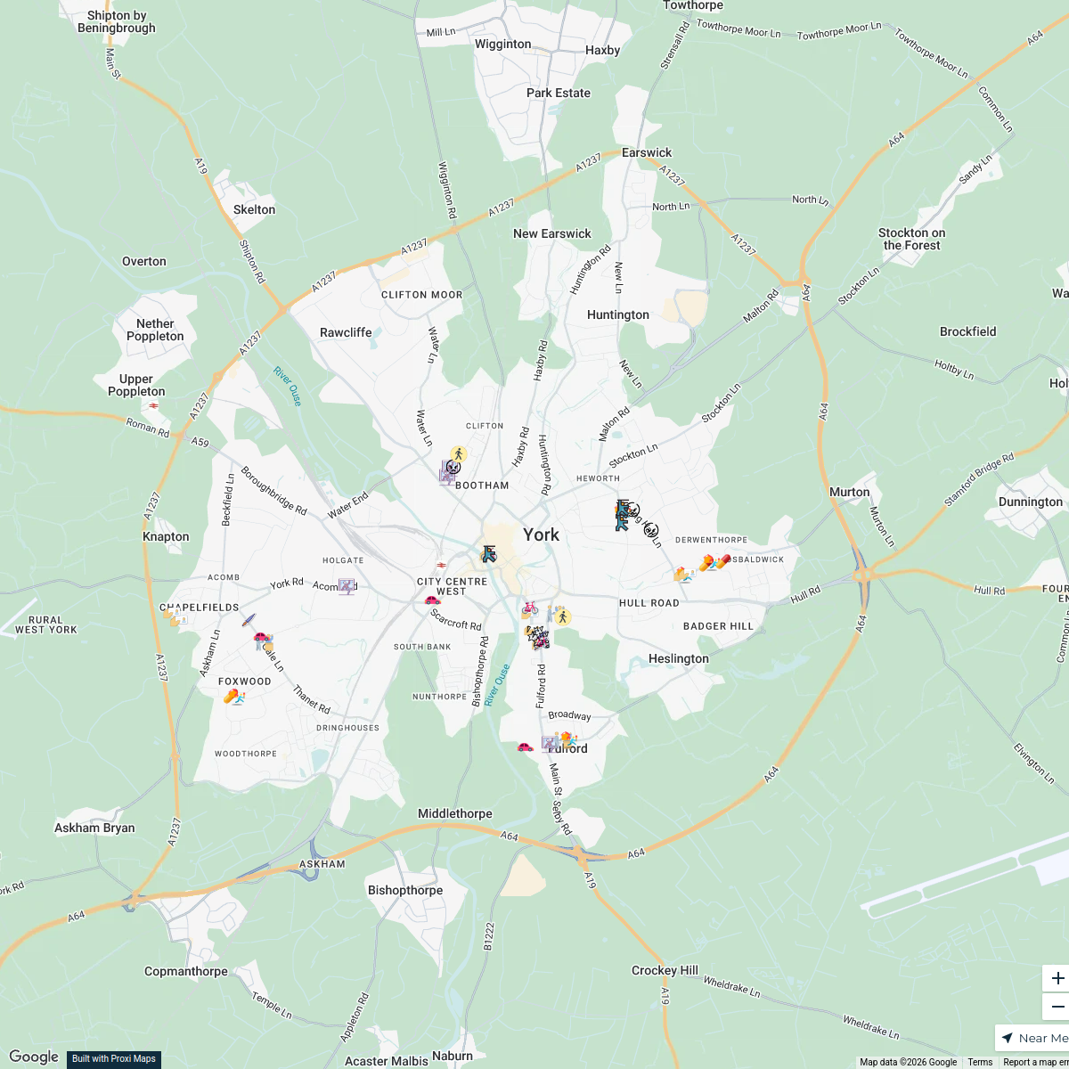
York YO10 Crime Map
A detailed map showcasing crime incidents in the YO10 area of York, UK. This map provides insights into various crime types, helping residents and visitors understand the safety and crime trends in the neighborhood.
Made with ProxiUpdated Mar 2025
- Theft 3
- Arson 2
- Assault 2
- Bike theft 2
- Burglary 2
- Possession of weapons 2
- Public Order 2
- Anti-Social Behavior 1
- Criminal Damage 1
- Drug Offenses 1
- Robbery 1
- Shoplifting 1
- Vehicle crime 1
- Violent Crime 1
Places on This Map
22 places · 14 groupsNearby Maps
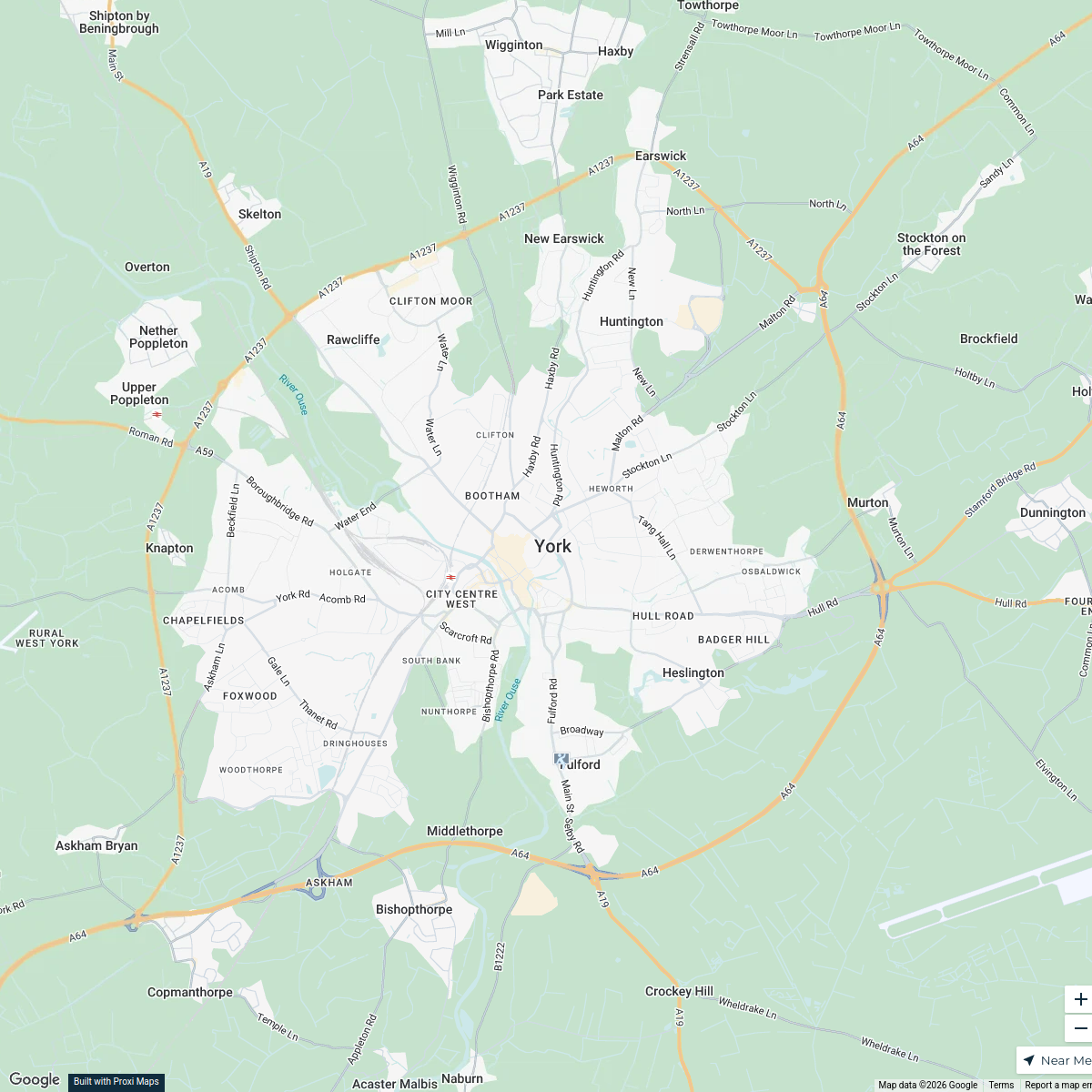
Crime Hotspots in York, UK
46 stops · York, UK b.leung's Workspace
York Crime Map
1 stop · York, UKb.leung's WorkspaceCrime Map of YO10, York
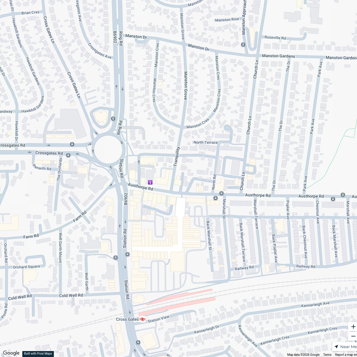
2 stops · York, UKb.leung's WorkspaceCross Gates Methodist Church Hall Location Map
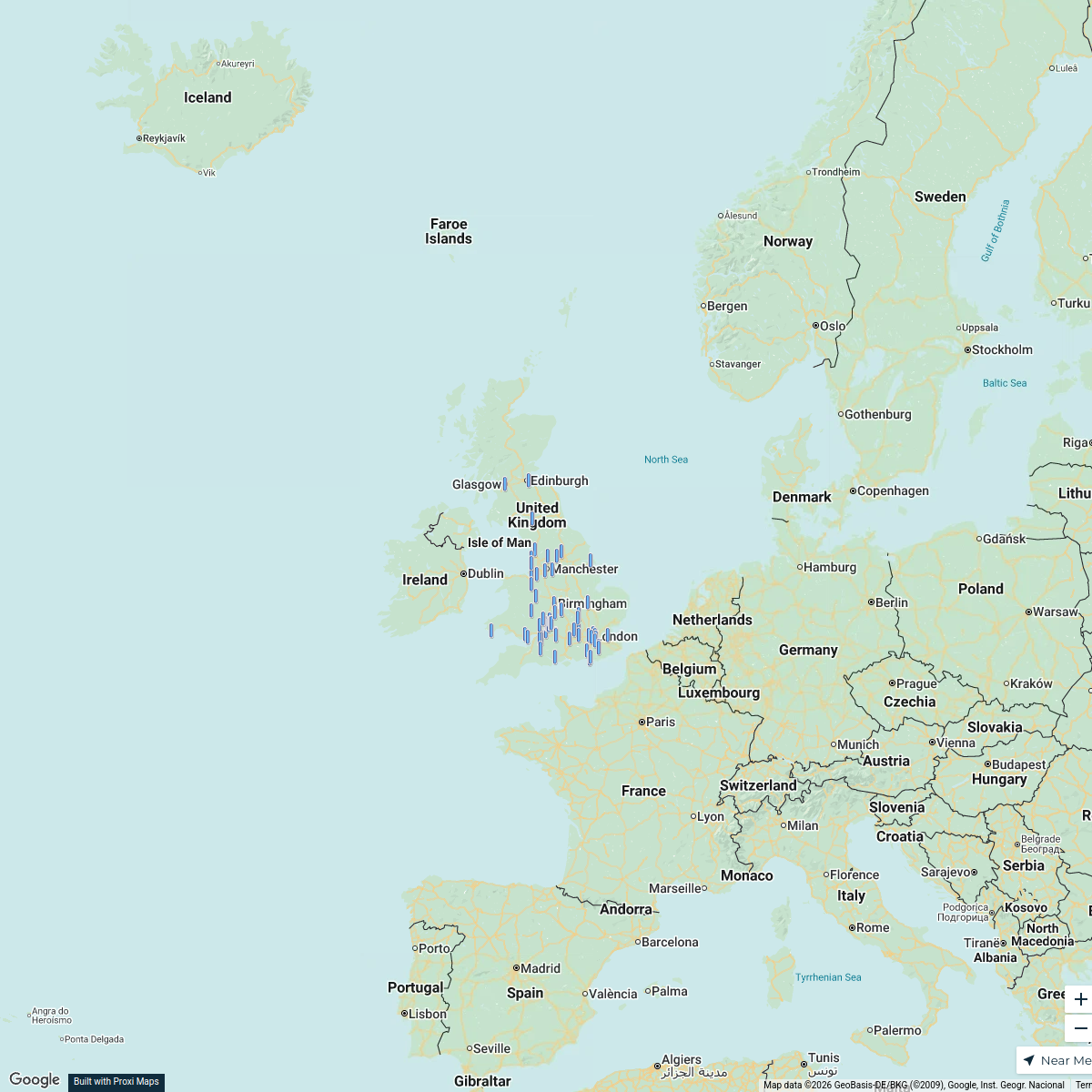
1 stopandrew.ryland's WorkspaceCBUK/WW map!
64 stops skirkwood-horne's Workspace
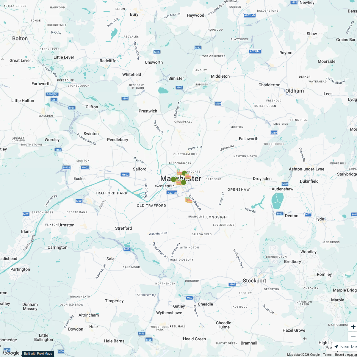
A Day in Manchester, UK
12 stops · 曼彻斯特, 英国曼彻斯特 suqiao

This map was made with Proxi
Have a main street, a market, or a story worth walking? Make your own map in a few minutes.