
Map · 8 places
Talabaan Accessibility and Transport Map
A comprehensive map focusing on the accessibility and transport options available around Talabaan Barangay Hall in Zamboanga, Zamboanga del Sur. This map highlights key transport routes, accessibility features, and local amenities to facilitate navigation and improve overall connectivity in the area.
Made with ProxiUpdated Mar 2025
- Community Centers 7
- Emergency Services 1
Places on This Map
8 places · 2 groupsNearby Maps
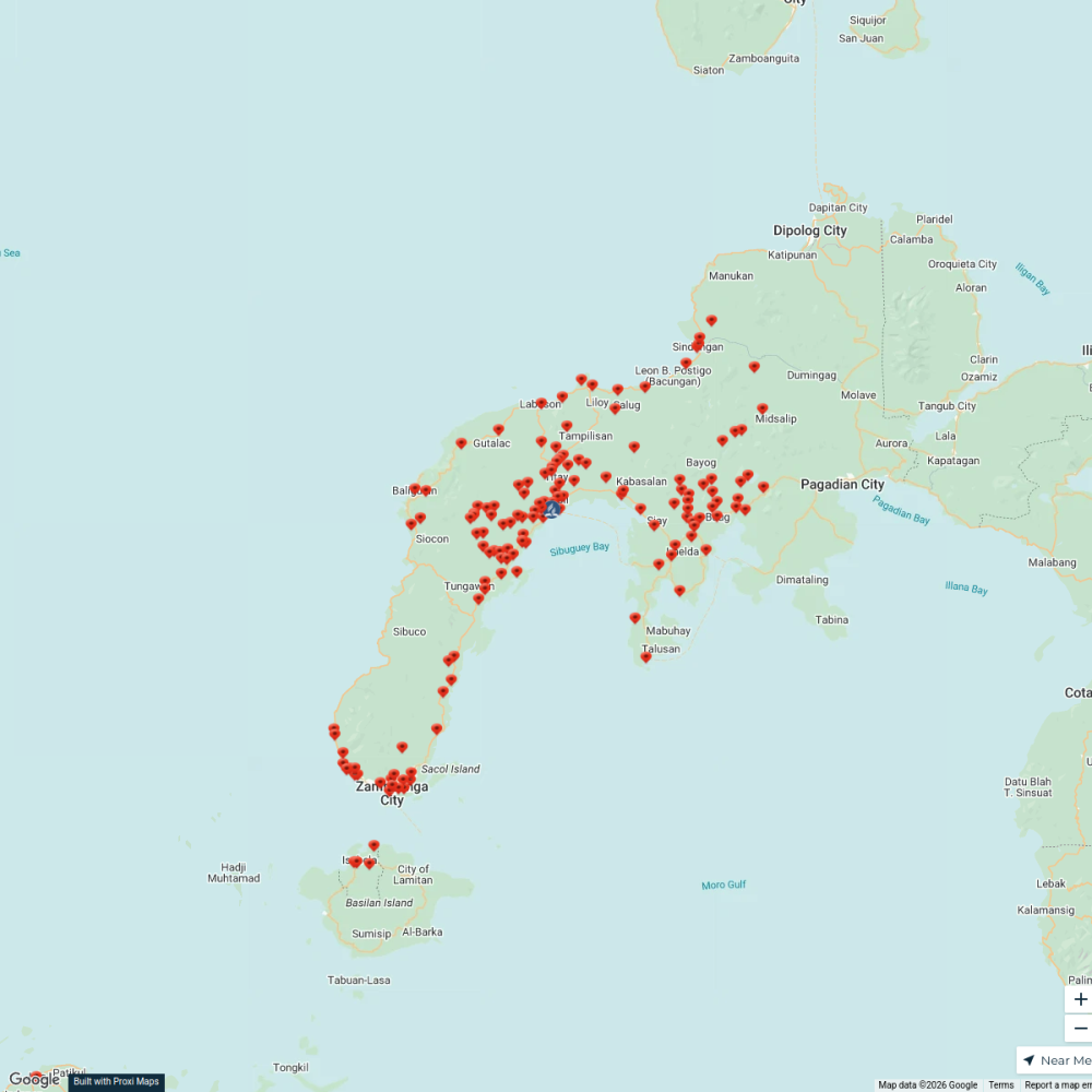
Zamboanga Peninsula Mission
155 stops Rufmer Sam Labag's Workspace
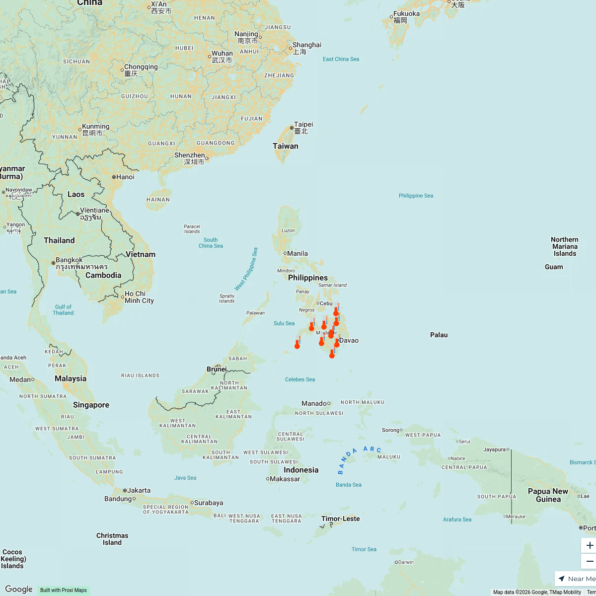
Mindanao heat index
10 stops Yas Ocampo's Workspace
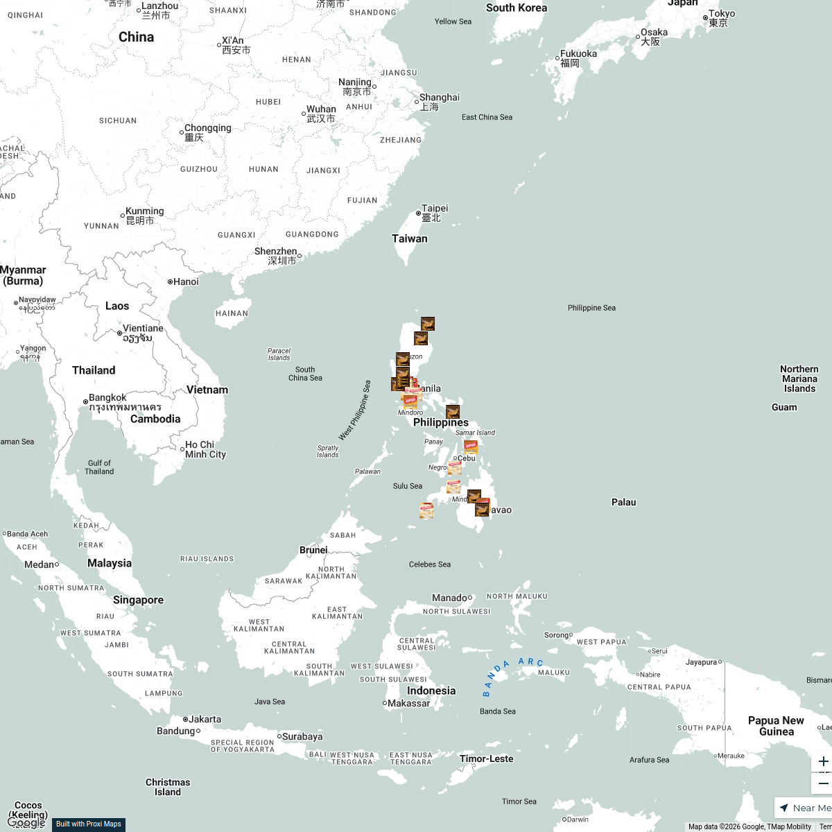
Kopiko Product Sources in the Philippines
32 stops · PhilippinesNica Aguirre's WorkspaceMINDANAO ETHNOGROUP
23 stops Ethno groups
Community Map
Kasanyangan Sightseeing Map
21 stops · Kasanyangan, Zamboanga, Zamboanga del Sur, PhilippinesShared by the Proxi communityCommunity Map
Zamboanga Evacuation Centers
8 stops · Putik Central School, 78 Maria Clara Lorenzo Lobregat Hwy, Zamboanga, ZamboangaShared by the Proxi community

This map was made with Proxi
Have a main street, a market, or a story worth walking? Make your own map in a few minutes.