
Map · 8 places
Zamboanga Evacuation Centers
A map displaying various evacuation centers in Zamboanga, specifically focused on Putik Central School as a designated facility during emergencies.
Made with ProxiUpdated Feb 2025
- Schools 5
- Emergency Services 2
- Public Facilities 1
Places on This Map
8 places · 3 groupsNearby Maps
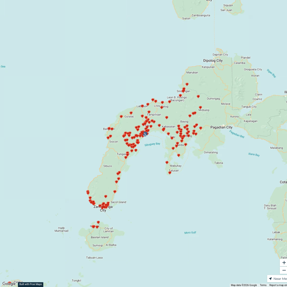
Zamboanga Peninsula Mission
155 stops Rufmer Sam Labag's Workspace
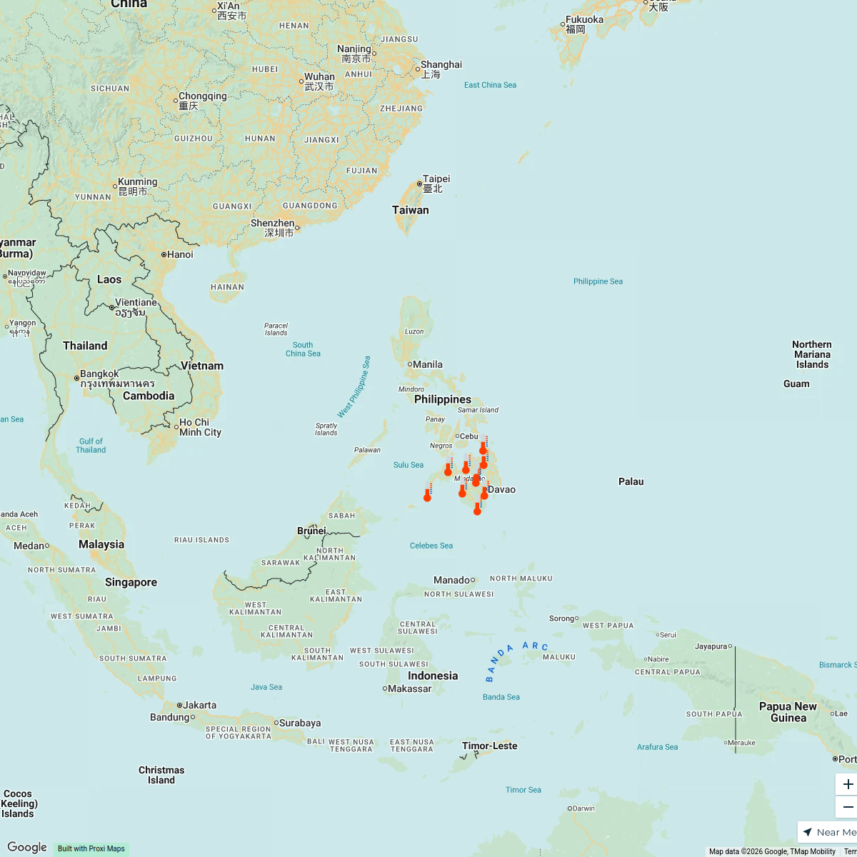
Mindanao heat index
10 stops Yas Ocampo's Workspace
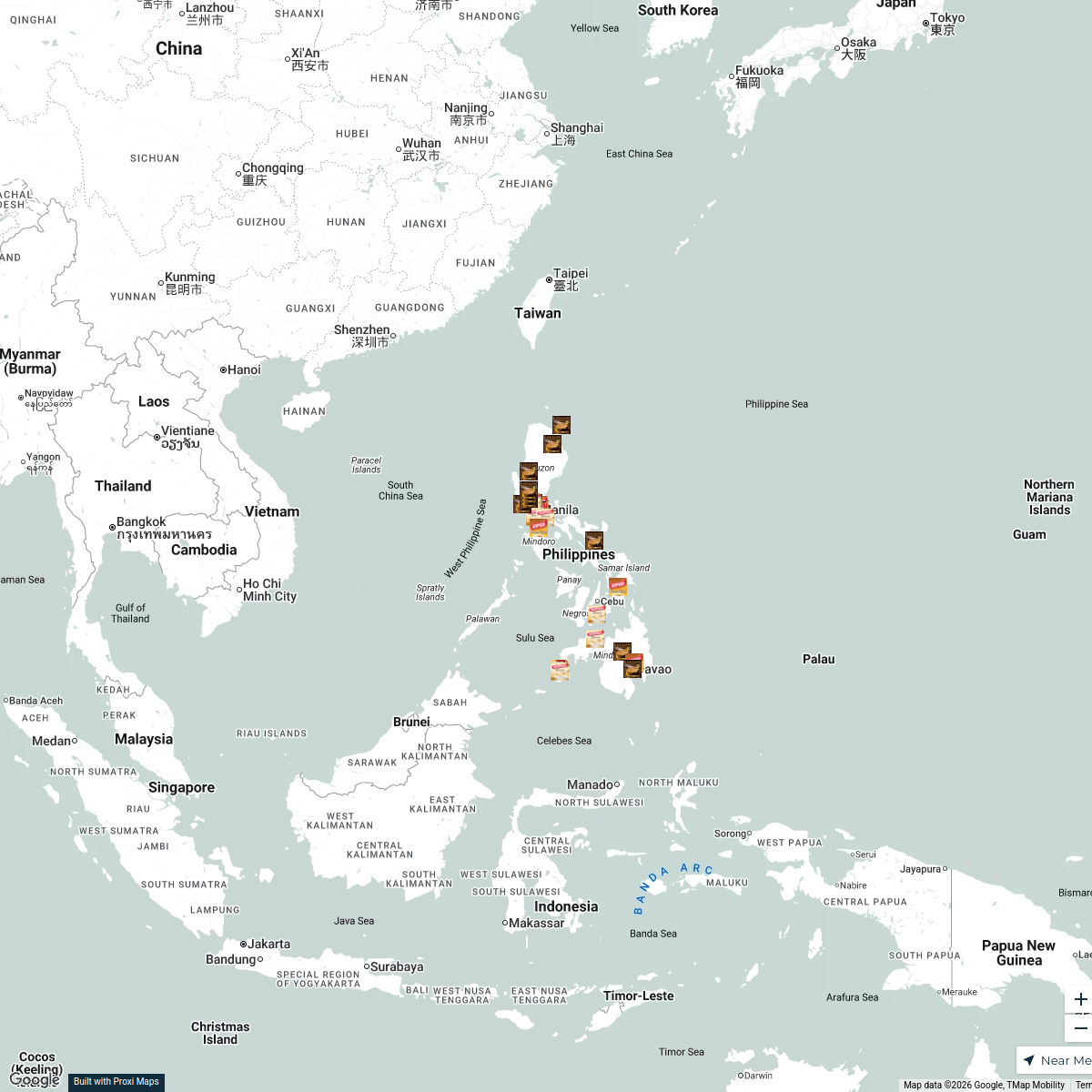
Kopiko Product Sources in the Philippines
32 stops · PhilippinesNica Aguirre's WorkspaceMINDANAO ETHNOGROUP
23 stops Ethno groups
Community Map
Zamboanga City Attractions
10 stops · Zamboanga, PhilippinesShared by the Proxi communityCommunity Map
barangays near Zamboanga City
12 stops · Zamboanga, PhilippinesShared by the Proxi community

This map was made with Proxi
Have a main street, a market, or a story worth walking? Make your own map in a few minutes.