
Map · 14 places
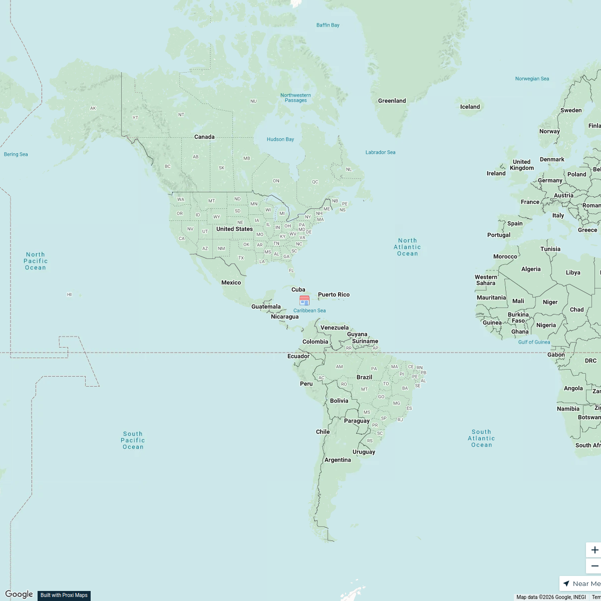
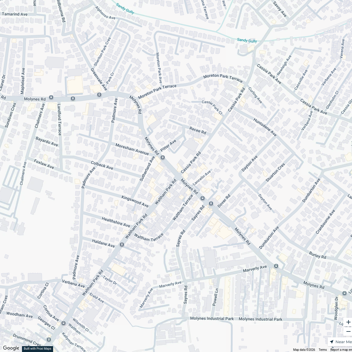
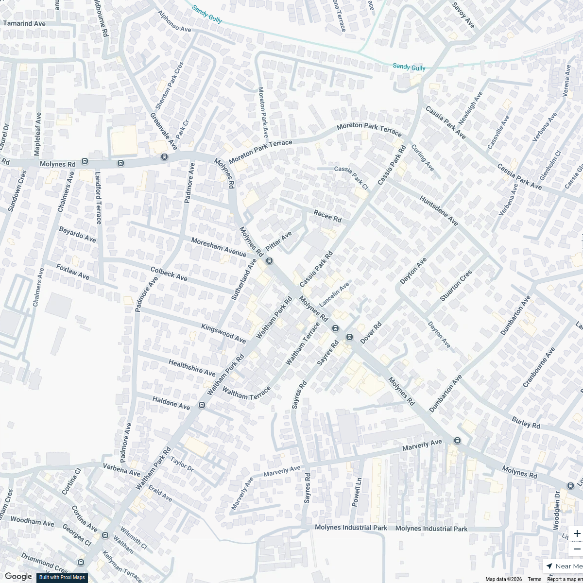
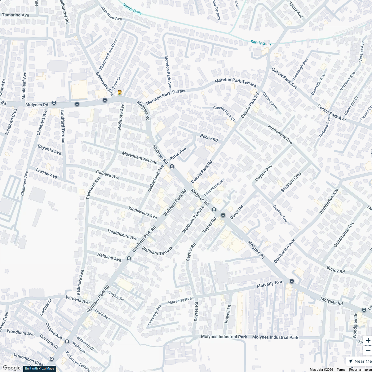
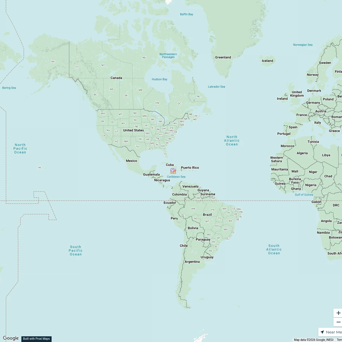
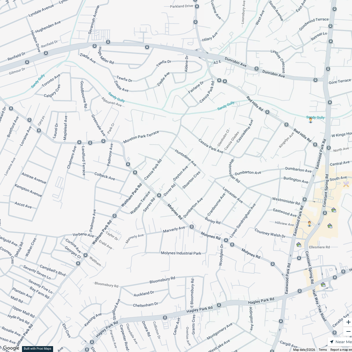
Agricultural Map of Portmore, Jamaica
This map highlights the agricultural zones and important farming areas in Portmore, Jamaica, showcasing the regions involved in crop production, livestock farming, and local markets related to agriculture.
Made with ProxiUpdated Feb 2025
- Community Gardens 3
- Farming Areas 3
- Agricultural Markets 2
- Farming Resources 2
- Livestock Farms 2
- Irrigation Systems 1
Places on This Map
14 places · 6 groupsNearby Maps
Cafes in Kingston
20 stops · Kingston, Jamaica Lejay Dwyer's Workspace
Kingston Infrastructure Map
20 stopsLejay Dwyer's WorkspaceKingston Infrastructure Map
20 stops · Kingston, JamaicaLejay Dwyer's WorkspaceKingston Infrastructure Map
20 stops · Kingston, JamaicaLejay Dwyer's WorkspaceRomantic Spots in Kingston
18 stopsLejay Dwyer's WorkspaceKingston Business Map
18 stopsLejay Dwyer's Workspace
This map was made with Proxi
Have a main street, a market, or a story worth walking? Make your own map in a few minutes.