
Map · 21 places
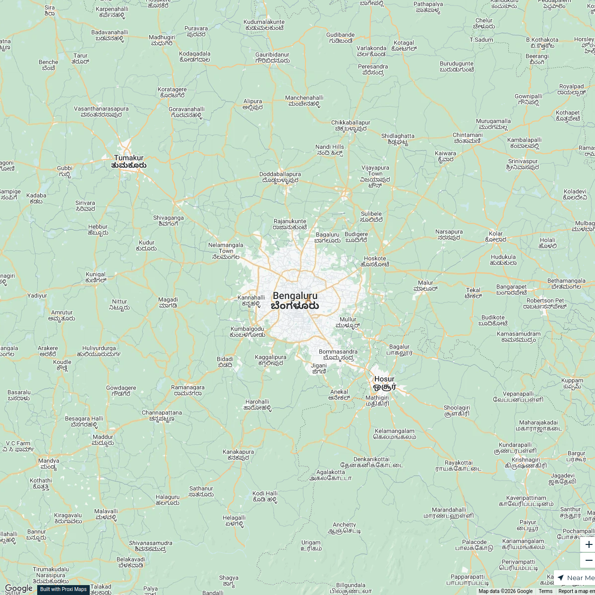
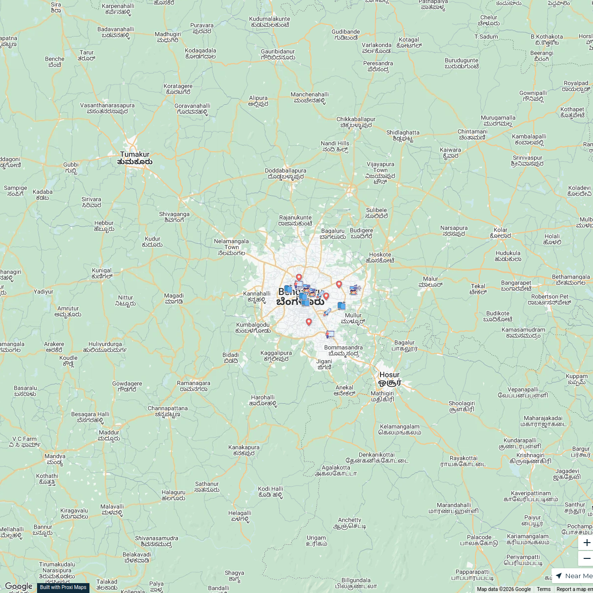
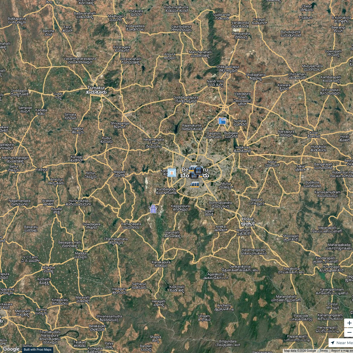
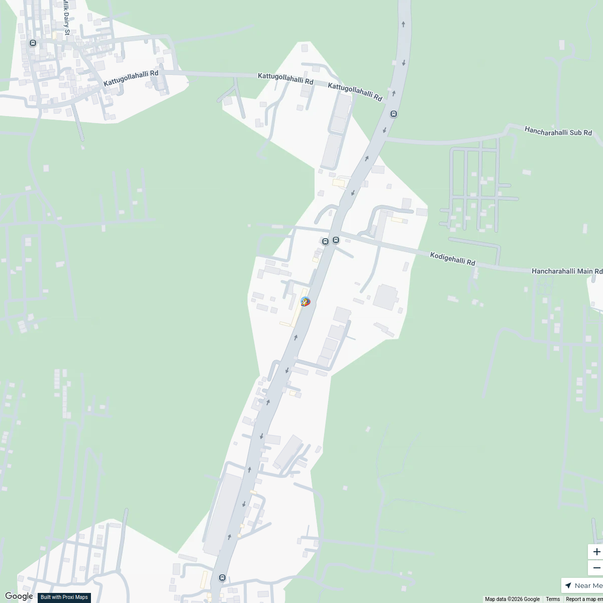
Bengaluru Land Use and Figure Ground Map
A detailed map illustrating the land use patterns and figure-ground relationships in Bengaluru, Karnataka, India, highlighting urban layout, open spaces, and built environments.
Made with ProxiUpdated Dec 2024
- Cultural Landmarks 4
- Public Amenities 4
- Industrial Areas 3
- Parks and Recreation 3
- Transportation Networks 3
- Commercial Zones 2
- Residential Areas 2
Places on This Map
21 places · 7 groupsNearby Maps
Bengaluru City Map
1 stop · Bengaluru, Karnataka, India s.sp's Workspace
IT Companies in Bangalore
17 stops · Bangalore, Bengaluru, Karnataka, IndiaRickshesh Manchanda's WorkspaceBangalore Linkage Map with network
12 stops Vishwa Udachan's Workspace
Family Fun in DVR Town
4 stops · DVR Town Center, DVR, road, Mandur, Budigere, Bengaluru, Karnataka, IndiaJoy Das's WorkspacePin Your Heart
425 stops · Europe Voluson Performance
Try Proxi For Yourself!
294 stops Chelsey's Proxi Workspace

This map was made with Proxi
Have a main street, a market, or a story worth walking? Make your own map in a few minutes.