
Map · 12 places
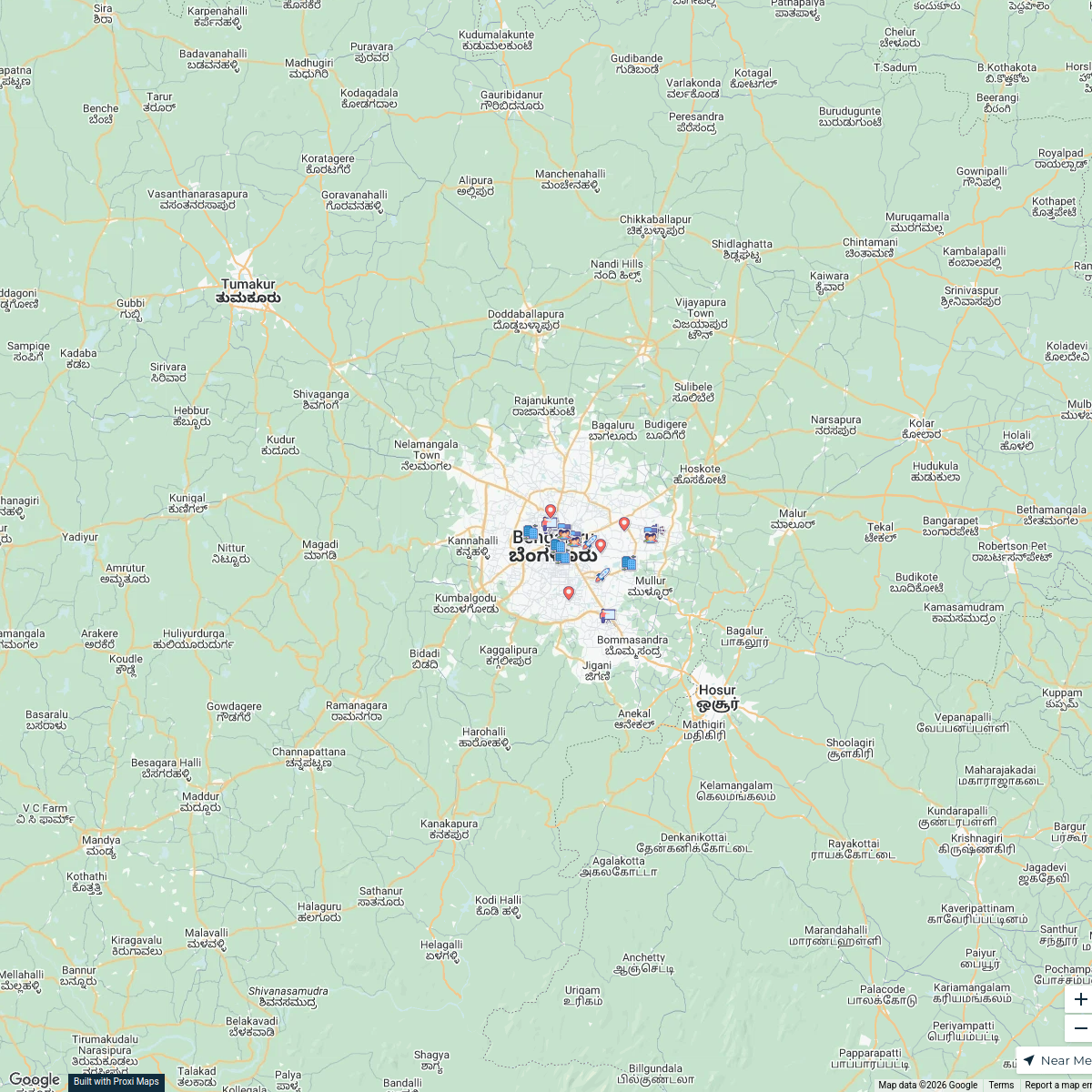
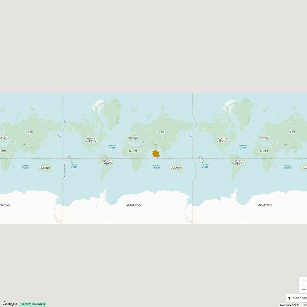
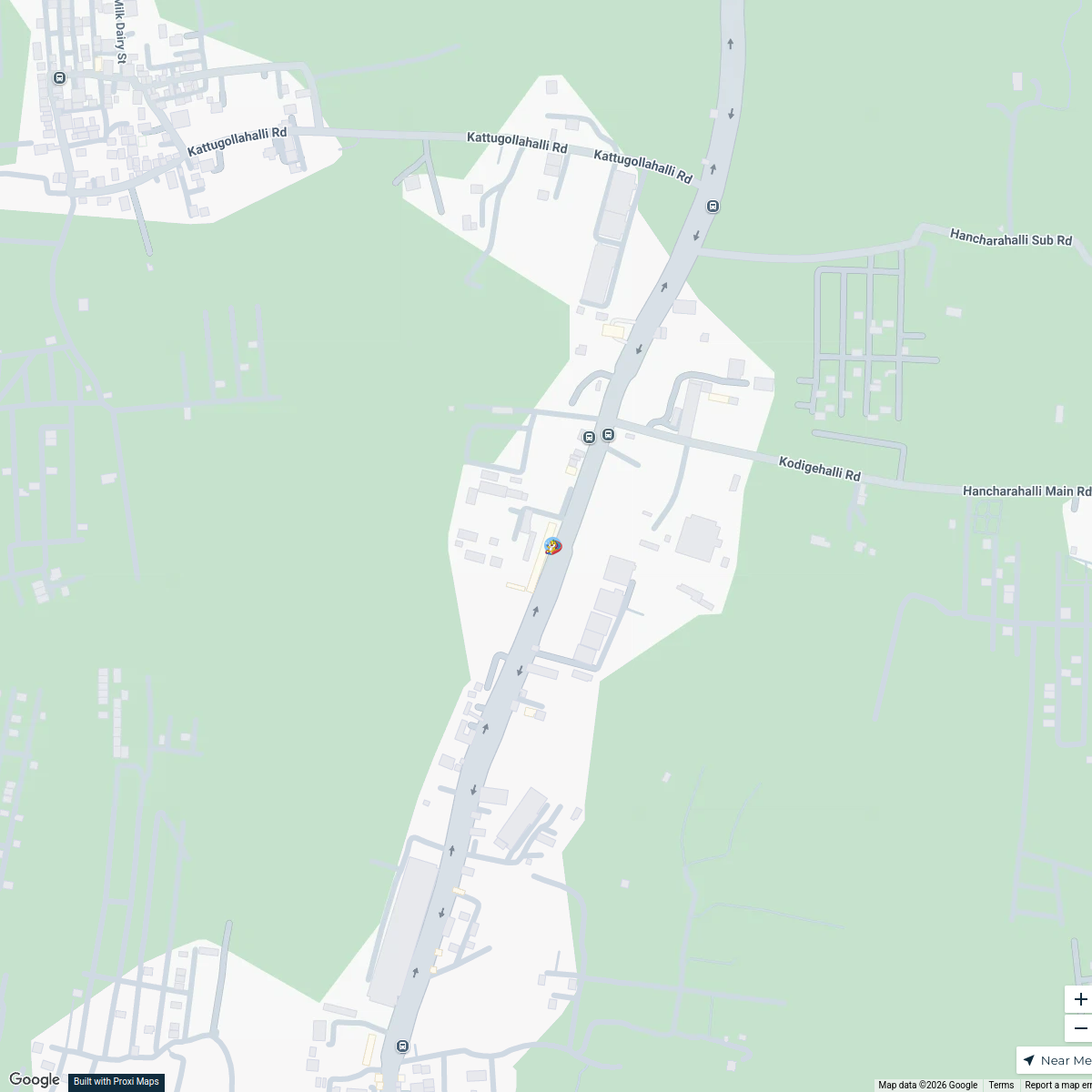
Bangalore Linkage Map with network
A map highlighting the connectivity and regional linkages of Bangalore, including highways, airports, rail networks, metro lines, and industrial/IT corridors.
Made by Vishwa Udachan's WorkspaceUpdated Aug 2024
- Rail Network 4
- Highway 3
- Industrial/IT Corridor 2
- Metro 2
- Airport 1
Places on This Map
12 places · 5 groupsNearby Maps
IT Companies in Bangalore
17 stops · Bangalore, Bengaluru, Karnataka, India Rickshesh Manchanda's Workspace
Bengaluru City Map
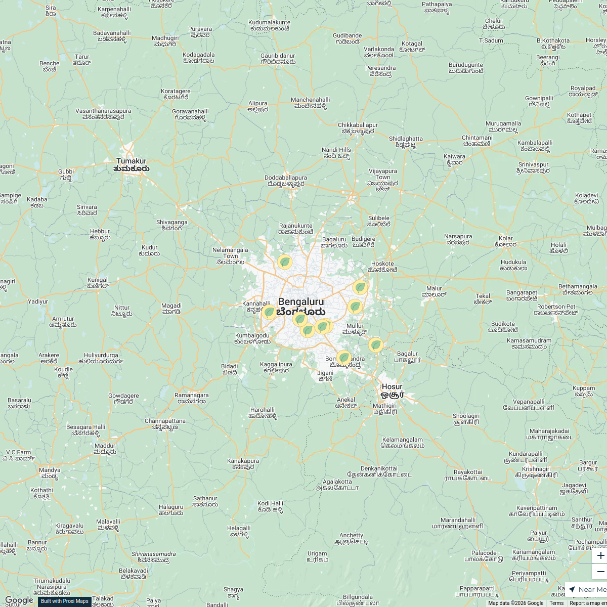
1 stop · Bengaluru, Karnataka, Indias.sp's WorkspaceMicrogreens in Bangalore
10 stops · Bengaluru, Karnataka, IndiaDr. Aarav Nair's WorkspaceTransit-Oriented Development Map
18 stops · Bengaluru, Karnataka, India Vishwa Udachan's Workspace
Real Estate in Bangalore
17 stops · Bengaluru, Karnataka, India rajesh mv's Workspace
Family Fun in DVR Town
4 stops · DVR Town Center, DVR, road, Mandur, Budigere, Bengaluru, Karnataka, IndiaJoy Das's Workspace
This map was made with Proxi
Have a main street, a market, or a story worth walking? Make your own map in a few minutes.