
Map · 21 places · Sainte-Thérèse, Quebec
Sainte-Thérèse, QC Map
A detailed map showcasing Sainte-Thérèse, Quebec, highlighting its key features, neighborhoods, and points of interest.
Made with ProxiUpdated Dec 2024
- Public Transport 6
- Community Centers 3
- Health Services 3
- Historical Sites 3
- Schools 3
- Shopping 3
Places on This Map
21 places · 6 groupsNearby Maps
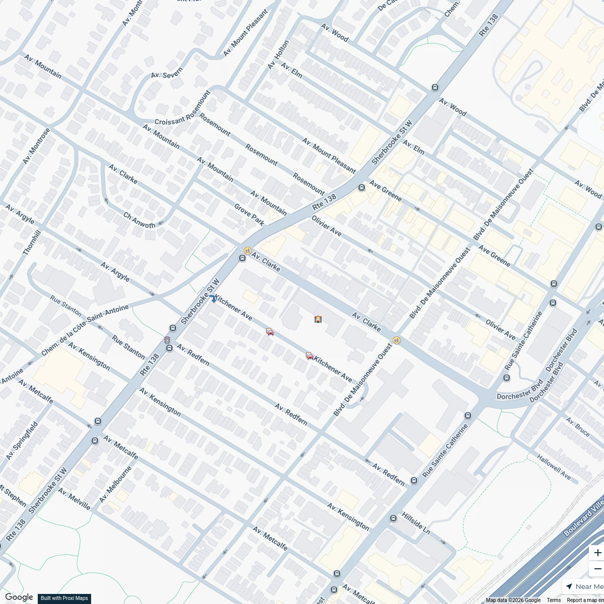
Westmount School Zone Map
7 stops · Saint-Leon-de-Westmount Elementary School, 360 Av. Clarke, Westmount, QC H3Z 2E6 sarahshapiro702's Workspace
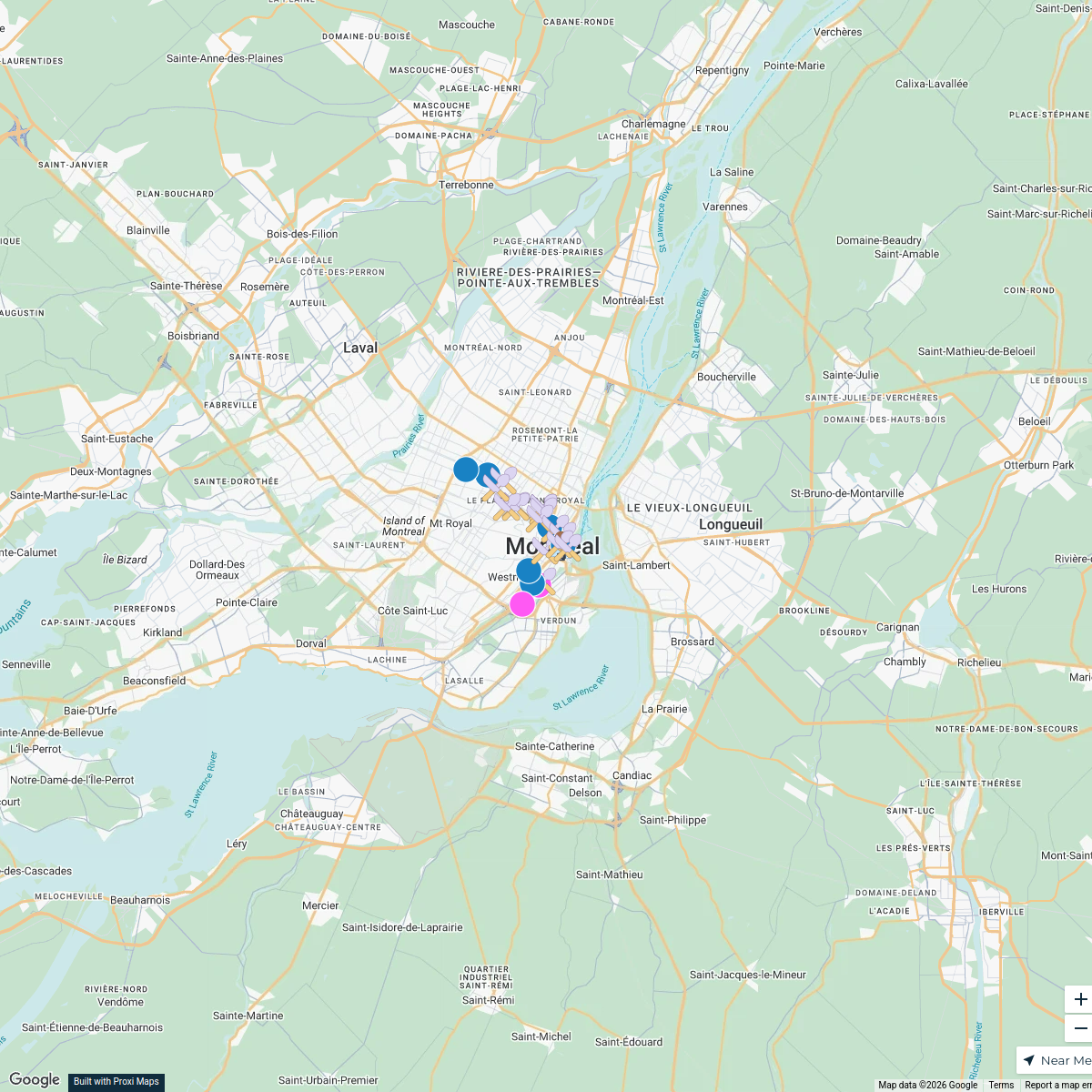
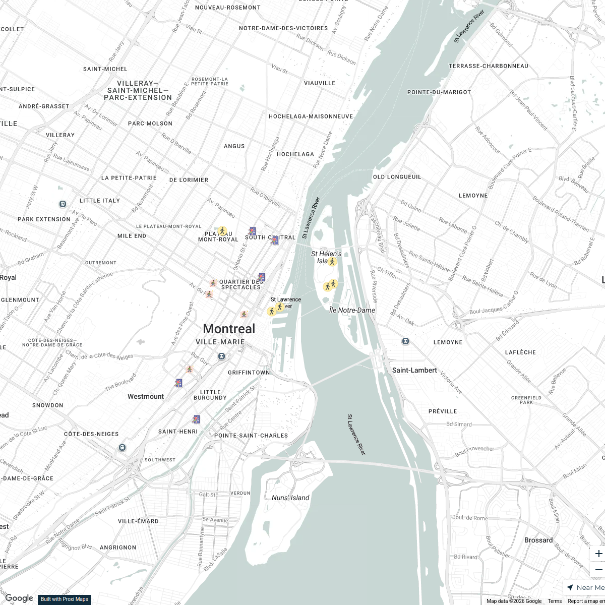
Montreal Points of Interest
25 stops · Montreal, QC, Canadaajew's WorkspaceShelters in Montreal
18 stops Angie Ruiz's Workspace
Explore613 Halloween Map 2024
255 stops Jessi @ Explore 613
Québec Dog-Friendly
16 stops · Québec, QC, CanadaPavel Delanrel's WorkspaceStreetPass Events Map
36 stops · Philadelphia, PA, USAStreetPassLove “epicshaner”'s Workspace


This map was made with Proxi
Have a main street, a market, or a story worth walking? Make your own map in a few minutes.