
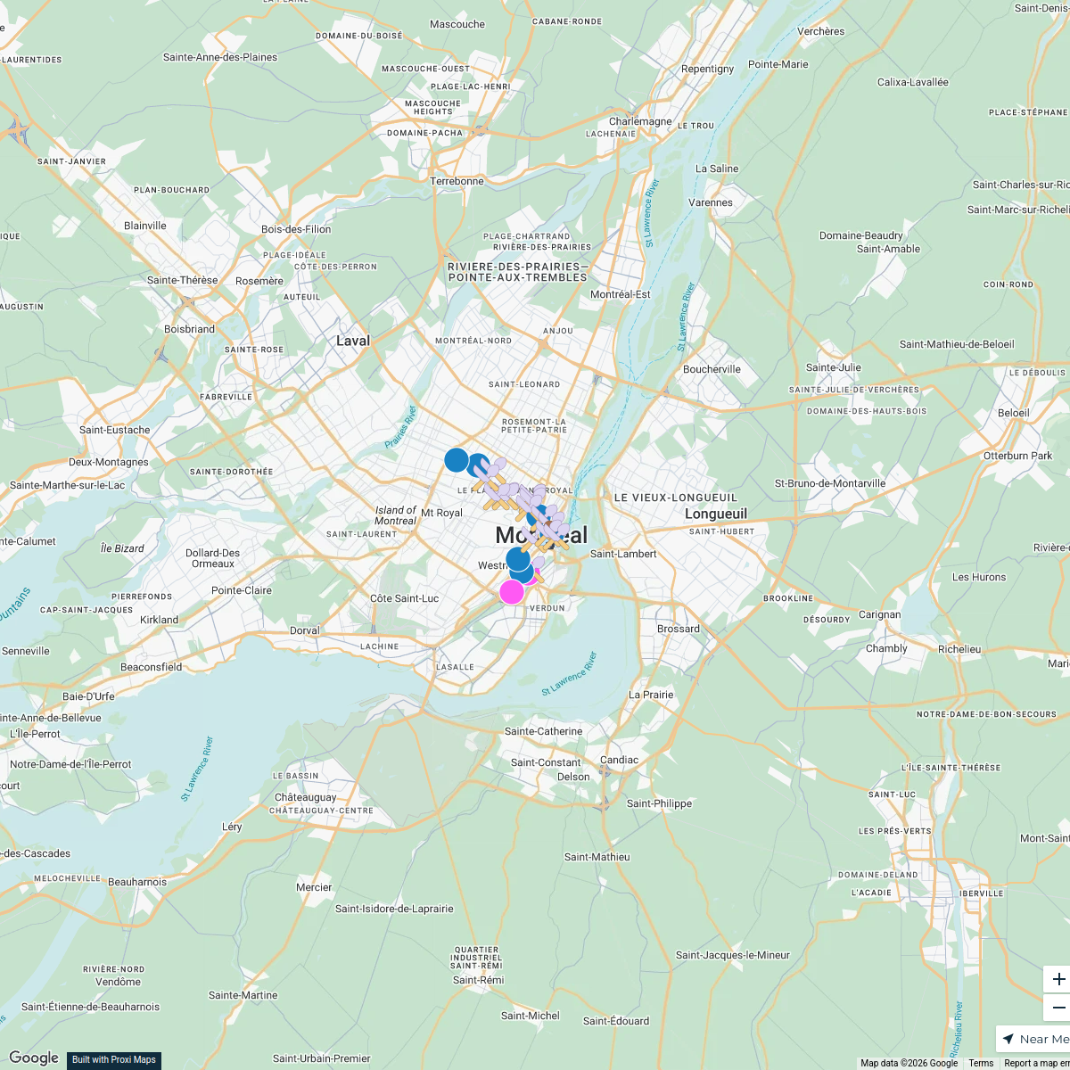
Map · 18 places · Ville-Marie, Quebec
Shelters in Montreal
A detailed map highlighting various shelters located throughout Montreal, QC, Canada. This map will assist individuals in need of shelter services, showcasing locations, contact information, and available resources.
Made by Angie Ruiz's WorkspaceUpdated Nov 2024
- Emergency Shelters 8
- Public Restrooms 6
- Women shelters 4
Places on This Map
18 places · 3 groupsNearby Maps
Montreal Points of Interest
25 stops · Montreal, QC, Canada ajew's Workspace
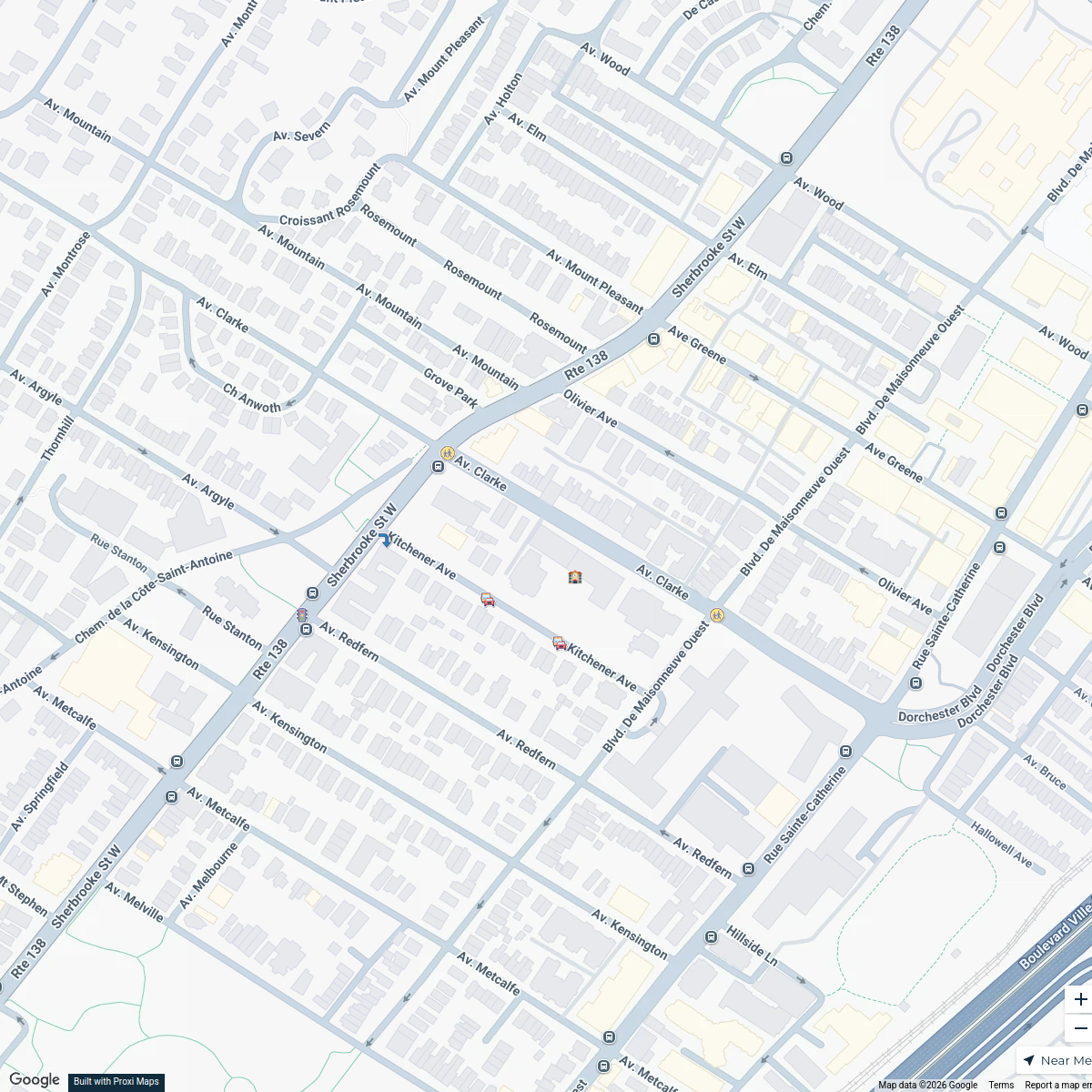
Westmount School Zone Map
7 stops · Saint-Leon-de-Westmount Elementary School, 360 Av. Clarke, Westmount, QC H3Z 2E6sarahshapiro702's WorkspaceExplore613 Halloween Map 2024
255 stops Jessi @ Explore 613
StreetPass Events Map
36 stops · Philadelphia, PA, USAStreetPassLove “epicshaner”'s WorkspaceBlack Natural Materials Economy
60 stops Adire Farms & Colorworks's Workspace
IPHCC Safespace Network Map
16 stops sask practice's Workspace


This map was made with Proxi
Have a main street, a market, or a story worth walking? Make your own map in a few minutes.