
Map · 15 places
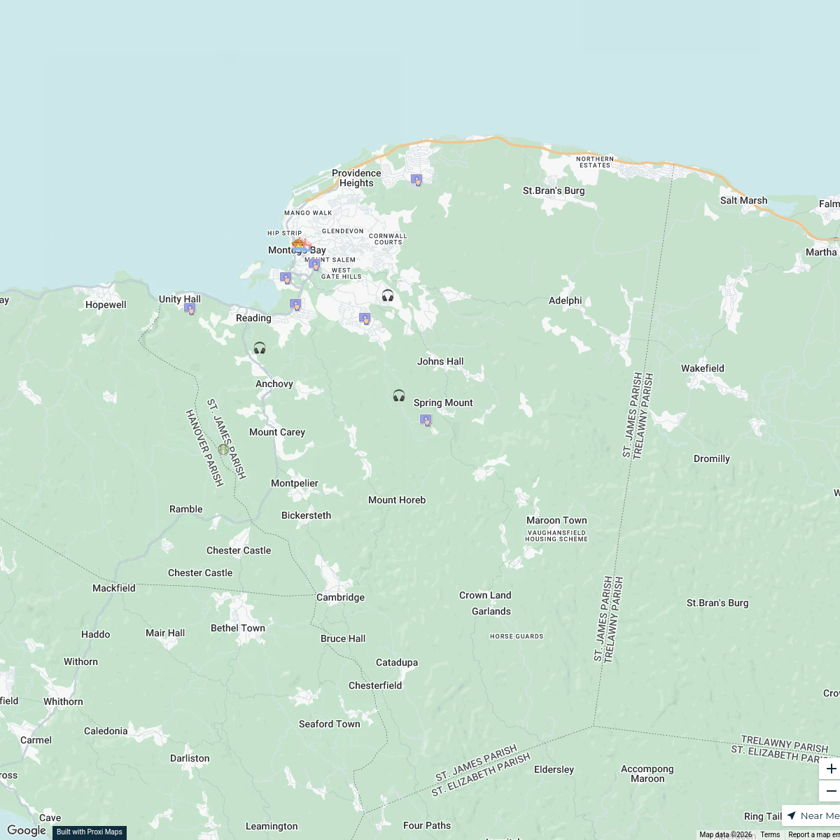
St. James Parish Infrastructure Map
A detailed map showcasing the physical infrastructure of St. James Parish, Jamaica, including roads, bridges, public buildings, and essential services. This map aims to provide a comprehensive overview of the amenities and transportation networks that support the community.
Made by Weston Spencer's WorkspaceUpdated Sep 2024
- Public Buildings 5
- Education Centers 2
- Health Services 2
- Transportation 2
- Utilities 2
- Bridges 1
- Roads 1
Places on This Map
15 places · 7 groupsNearby Maps
Land Use in St. James Parish, Jamaica
17 stops · St. James Parish, Jamaica Weston Spencer's Workspace
Land Use Map & Population Trelawny
14 stops · Trelawny, Jamaica Azalea Changur's Workspace
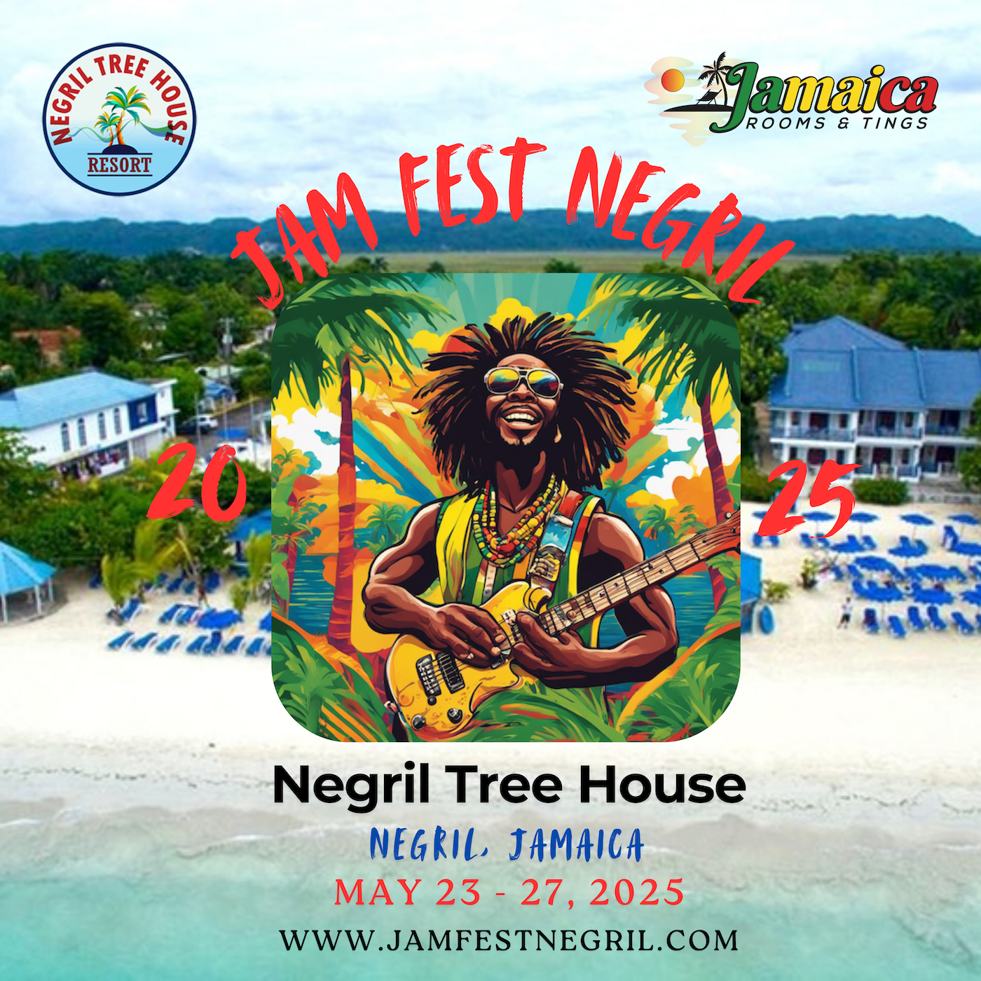
Things to Do in Jamaica | Activities, Events & Attractions
40 stops Digiedg's Workspace
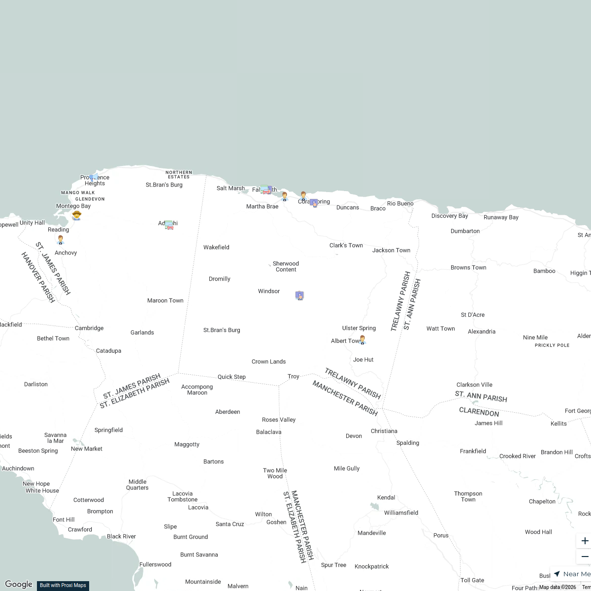
North Coast Jamaica Tourist Attractions
16 stops · JamaicaAzalea Changur's WorkspaceMy USA Travel Adventures
60 stopstracieblackmon61's WorkspaceVision Group / Groupe Vision
78 stopslghazaly's Workspace
This map was made with Proxi
Have a main street, a market, or a story worth walking? Make your own map in a few minutes.