
Map · 14 places
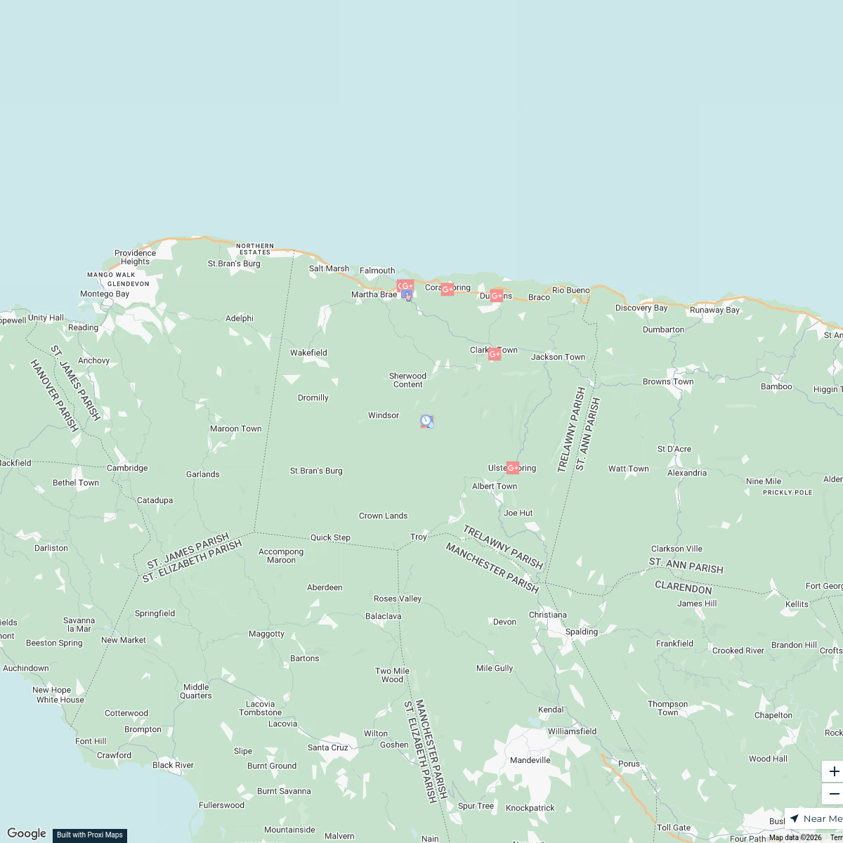
Land Use Map & Population Trelawny
This map showcases the various land uses in Trelawny, Jamaica, highlighting different zones such as residential, agricultural, commercial, and industrial areas. It aims to provide insights into the spatial distribution of these land uses within the region.
Made by Azalea Changur's WorkspaceUpdated Sep 2024
- Tourist Attractions 5
- Residential Areas 3
- Agricultural Land 2
- Transportation Infrastructure 2
- Commercial Zones 1
- Recreational Areas 1
Places on This Map
14 places · 6 groupsNearby Maps
Population Distribution in Trelawny
11 stops · Trelawny, Jamaica Azalea Changur's Workspace
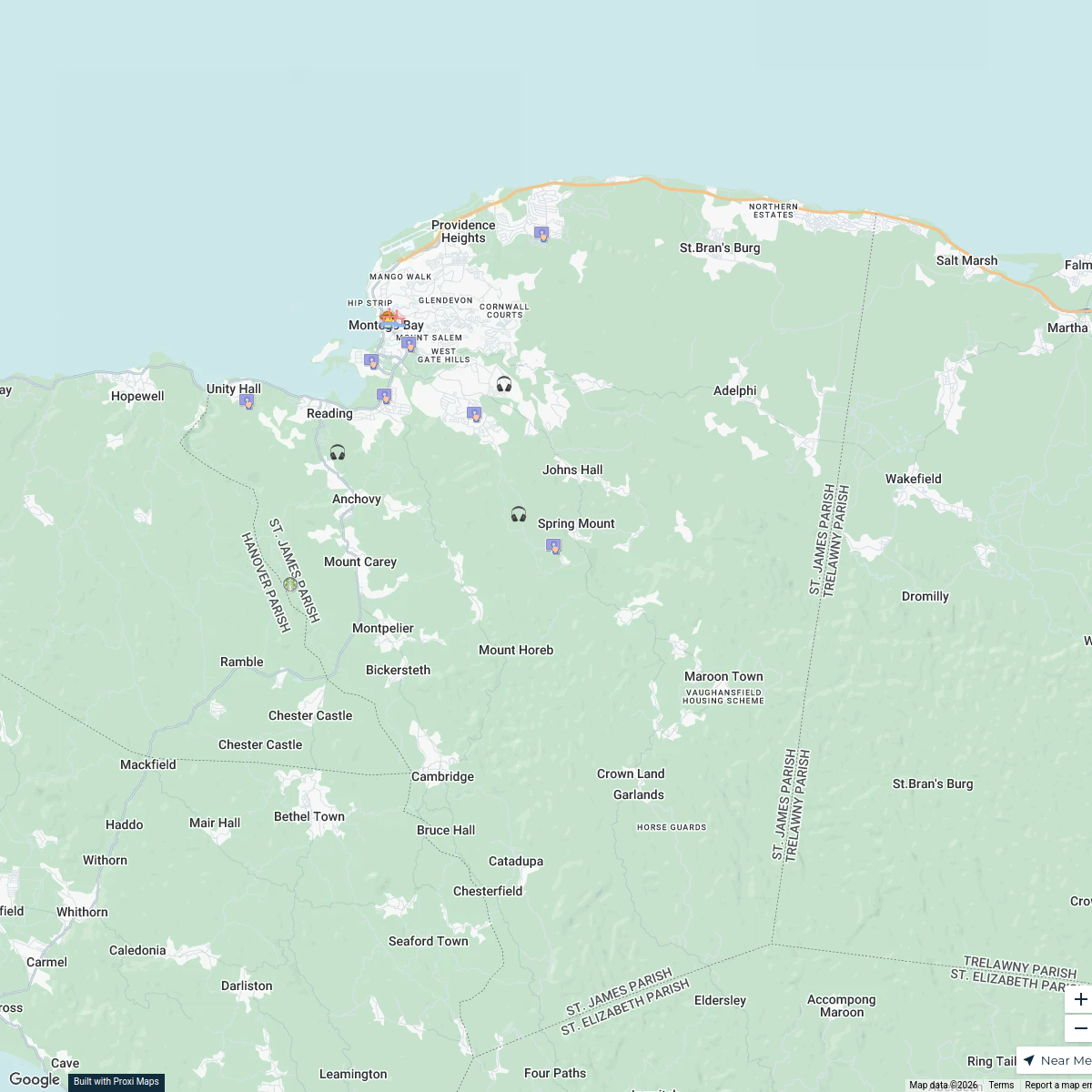
Land Use in St. James Parish, Jamaica
17 stops · St. James Parish, Jamaica Weston Spencer's Workspace
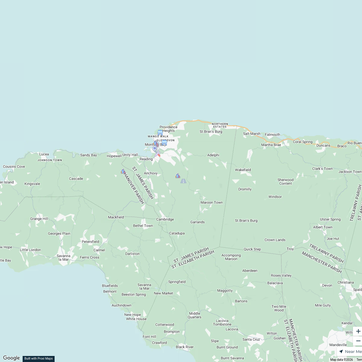
St. James Parish Infrastructure Map
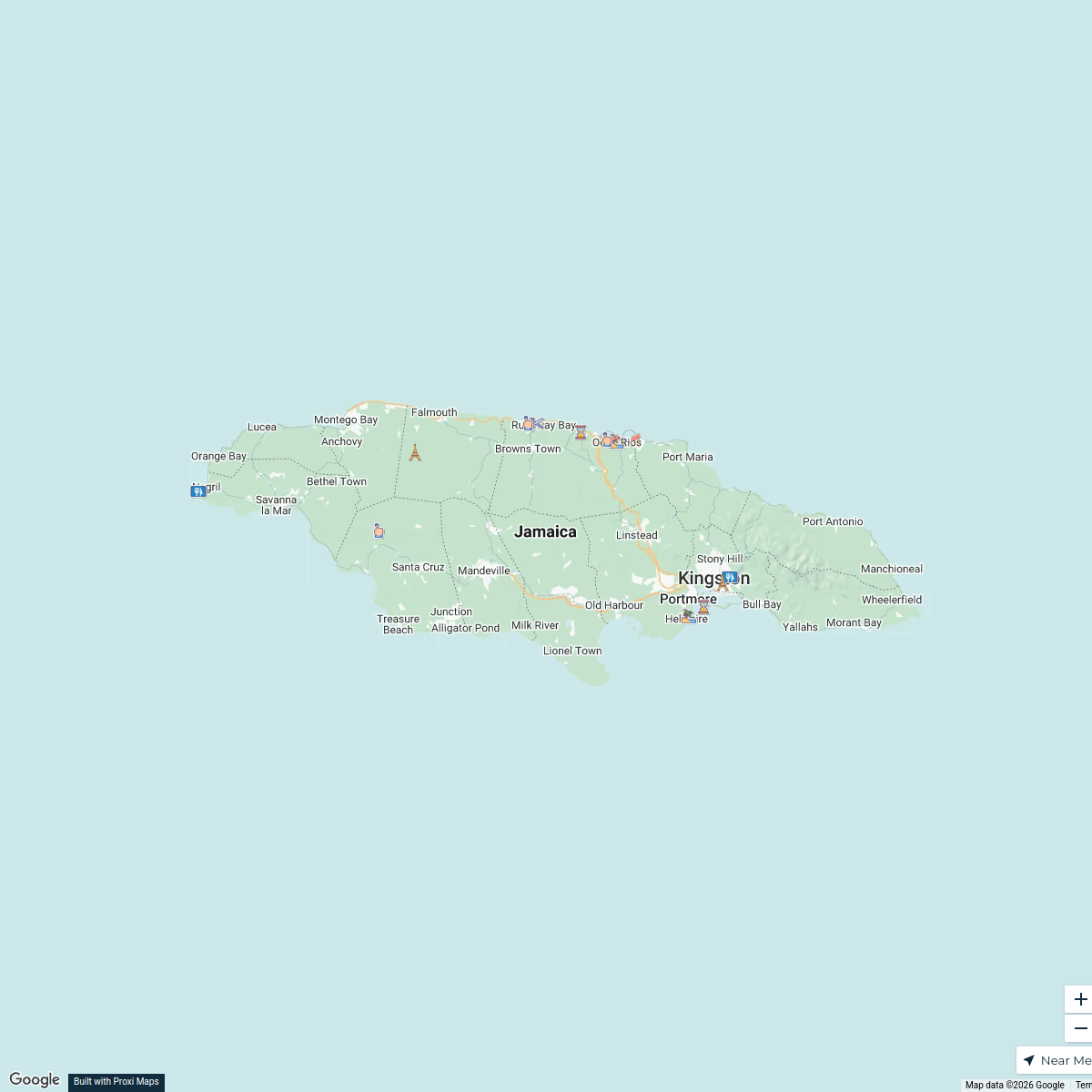
15 stops · St. James Parish, JamaicaWeston Spencer's WorkspaceNorth Coast Jamaica Tourist Attractions
16 stops · JamaicaAzalea Changur's WorkspacePopulation Density Map of Trelawny and Kingston, Jamaica
1 stop · Kingston, JamaicaAzalea Changur's WorkspaceRoad Map of Portland, Jamaica
40 stopsBrandon McCallum's Workspace
This map was made with Proxi
Have a main street, a market, or a story worth walking? Make your own map in a few minutes.