
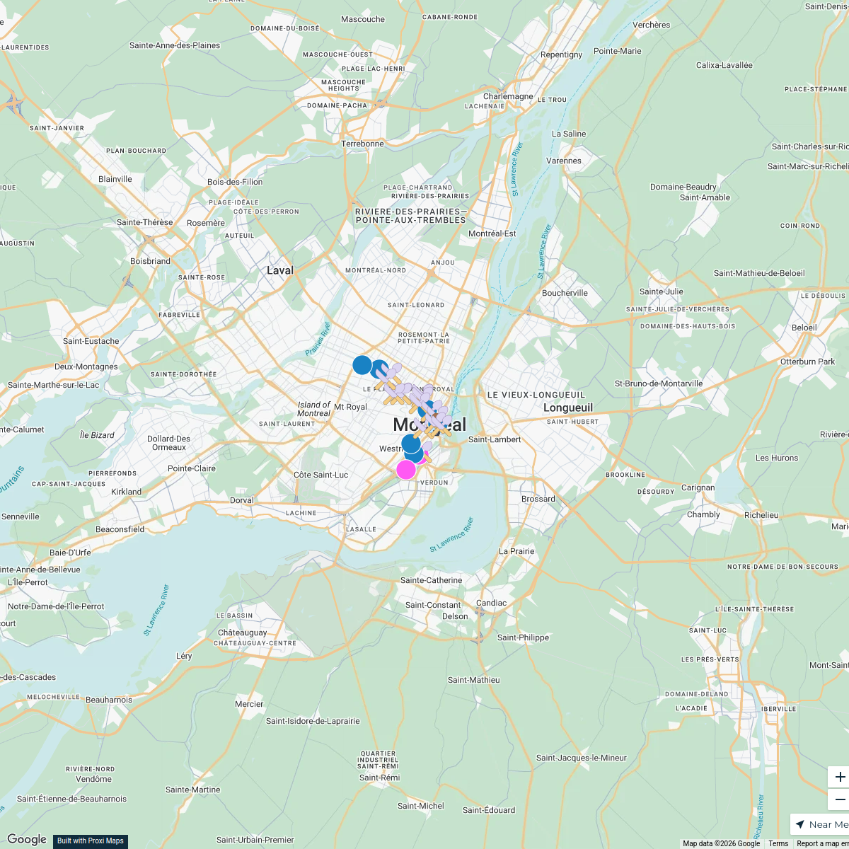
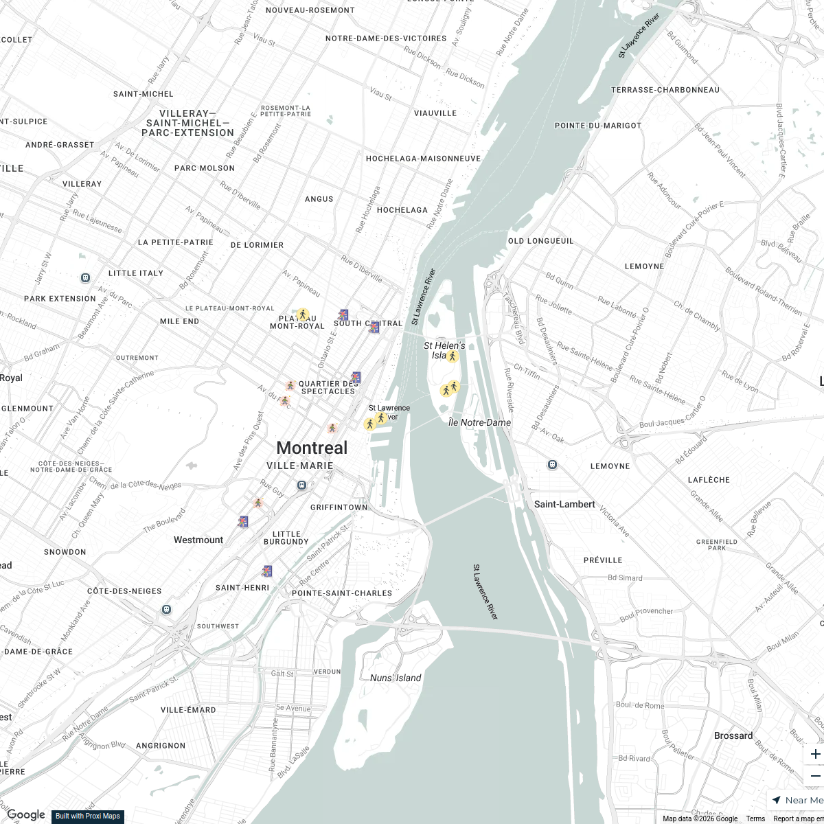
Map · 29 places
Montreal Parks and Metro Stations
A comprehensive map showcasing the parks and metro stations of Montreal, QC, Canada, highlighting green spaces and public transportation access for residents and visitors alike.
Made with ProxiUpdated Sep 2024
- Metro Stations 11
- Urban Green Spaces 8
- Parks 5
- Public Transport 5
Places on This Map
29 places · 4 groupsNearby Maps
Montreal Points of Interest
25 stops · Montreal, QC, Canada ajew's Workspace
Shelters in Montreal
18 stops Angie Ruiz's Workspace
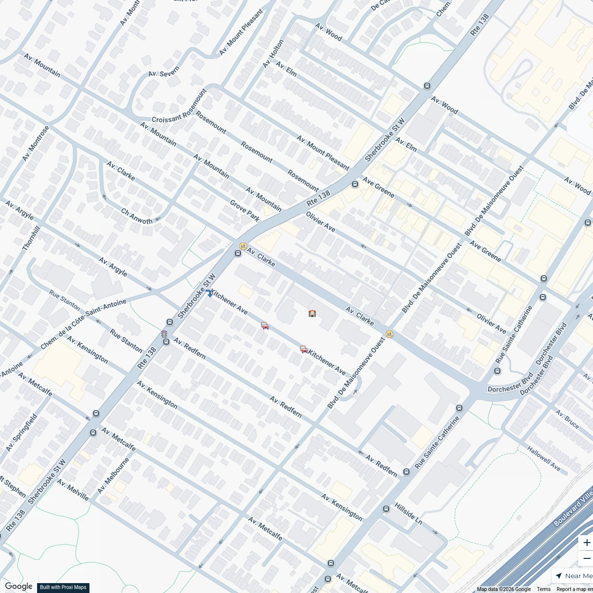
Westmount School Zone Map
7 stops · Saint-Leon-de-Westmount Elementary School, 360 Av. Clarke, Westmount, QC H3Z 2E6sarahshapiro702's WorkspaceExplore613 Halloween Map 2024
255 stops Jessi @ Explore 613
StreetPass Events Map
36 stops · Philadelphia, PA, USAStreetPassLove “epicshaner”'s WorkspaceBlack Natural Materials Economy
60 stopsAdire Farms & Colorworks's Workspace


This map was made with Proxi
Have a main street, a market, or a story worth walking? Make your own map in a few minutes.