
Map · 14 places
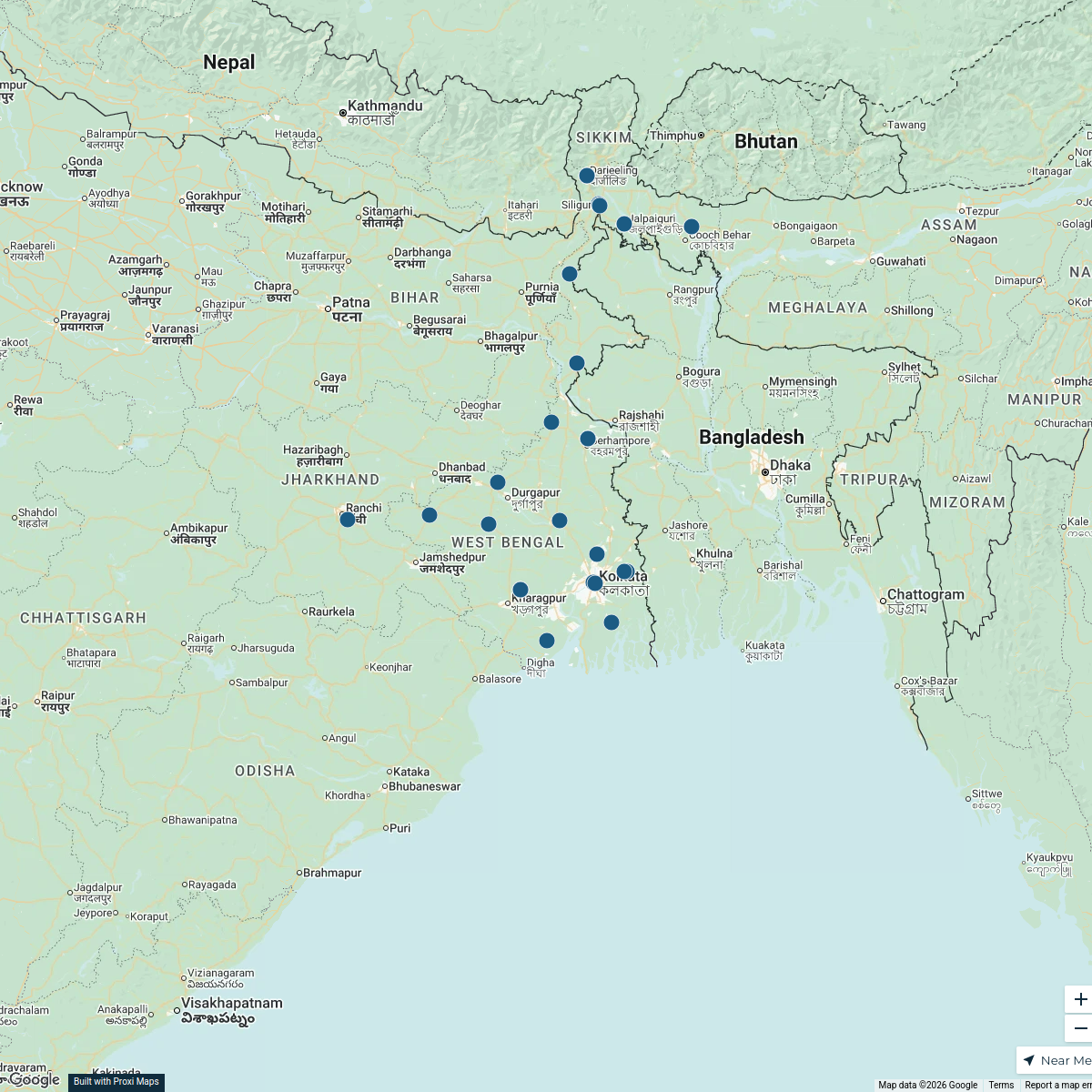
Census Map of Jhikra
This map outlines the boundaries and key landmarks for census work in Jhikra, Nadia District.
Made with ProxiUpdated Aug 2026
- School 4
- Furniture 2
- Landmark 2
- Temple 2
- Convenience 1
- Healthcare 1
- Mosque 1
- Shop 1
Places on This Map
14 places · 8 groupsNearby Maps
West Bengal Dealers
48 stops · West Bengal, India Ratnagiri Impex's Workspace
West Bengal Dealer Map
21 stops · West Bengal, IndiaRatnagiri Impex's WorkspaceCommunity Map
Explore Barasehana
15 stops · Barasehana, West Bengal, IndiaShared by the Proxi community Community Map
resturent near halisahar
9 stops · Halisahar, Kanchrapara, West Bengal, IndiaShared by the Proxi communityCommunity Map
Magra Hooghly Area
15 stops · VCW9+4H6, Gouripur, Naihati, West Bengal 743165, IndiaShared by the Proxi communityCommunity Map
Barasat and Nearby Places
4 stops · Barasat, Kolkata, West Bengal, IndiaShared by the Proxi community
This map was made with Proxi
Have a main street, a market, or a story worth walking? Make your own map in a few minutes.