
Map · 16 places
Map of Soteapan and Los Tuxtlas
A detailed map showcasing important locations in Soteapan and the surrounding Los Tuxtlas region.
Made with ProxiUpdated Jul 2026
- Natural Feature 5
- Town 4
- Beach 2
- Landmark 1
- Mountain Range 1
- Protected Area 1
- Region 1
- Wellness Center 1
Places on This Map
16 places · 8 groupsNearby Maps
Ecosystems of Mexico
11 stops · México Ecosistemas acuáticos
City Nature Challenge 2024 cities
714 stops ajaecker's Workspace
Community Map
Discover SOTEAPAN
15 stops · Los Tuxtlas, Ver., MexicoShared by the Proxi communityCommunity Map
San Andrés Tuxtla Attractions
15 stops · San Andrés Tuxtla, Ver., MexicoShared by the Proxi community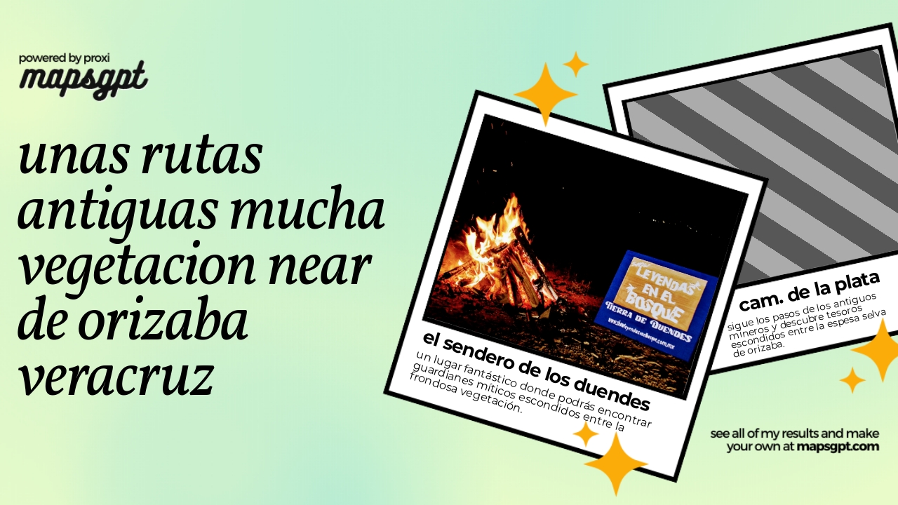 Community Map
unas rutas antiguas mucha vegetacion near de orizaba veracruz
6 stops · Orizaba, Ver., MexicoShared by the Proxi communityCommunity Map
Mapa de las Rutas del Mundo Olmeca
15 stops · MexicoShared by the Proxi community

This map was made with Proxi
Have a main street, a market, or a story worth walking? Make your own map in a few minutes.