
Map · 15 places
Map of Collective Accommodation Density in Khanty-Mansi Autonomous Okrug
A map showing the density of collective accommodation facilities in the Khanty-Mansi Autonomous Okrug, highlighting key cities and areas of interest.
Made with ProxiUpdated Jun 2026
- City 11
- Village 3
- Region 1
Places on This Map
15 places · 3 groupsNearby Maps
Community Map
Сургут и его окрестности
16 stops · Surgut, Khanty-Mansi Autonomous Okrug, RussiaShared by the Proxi community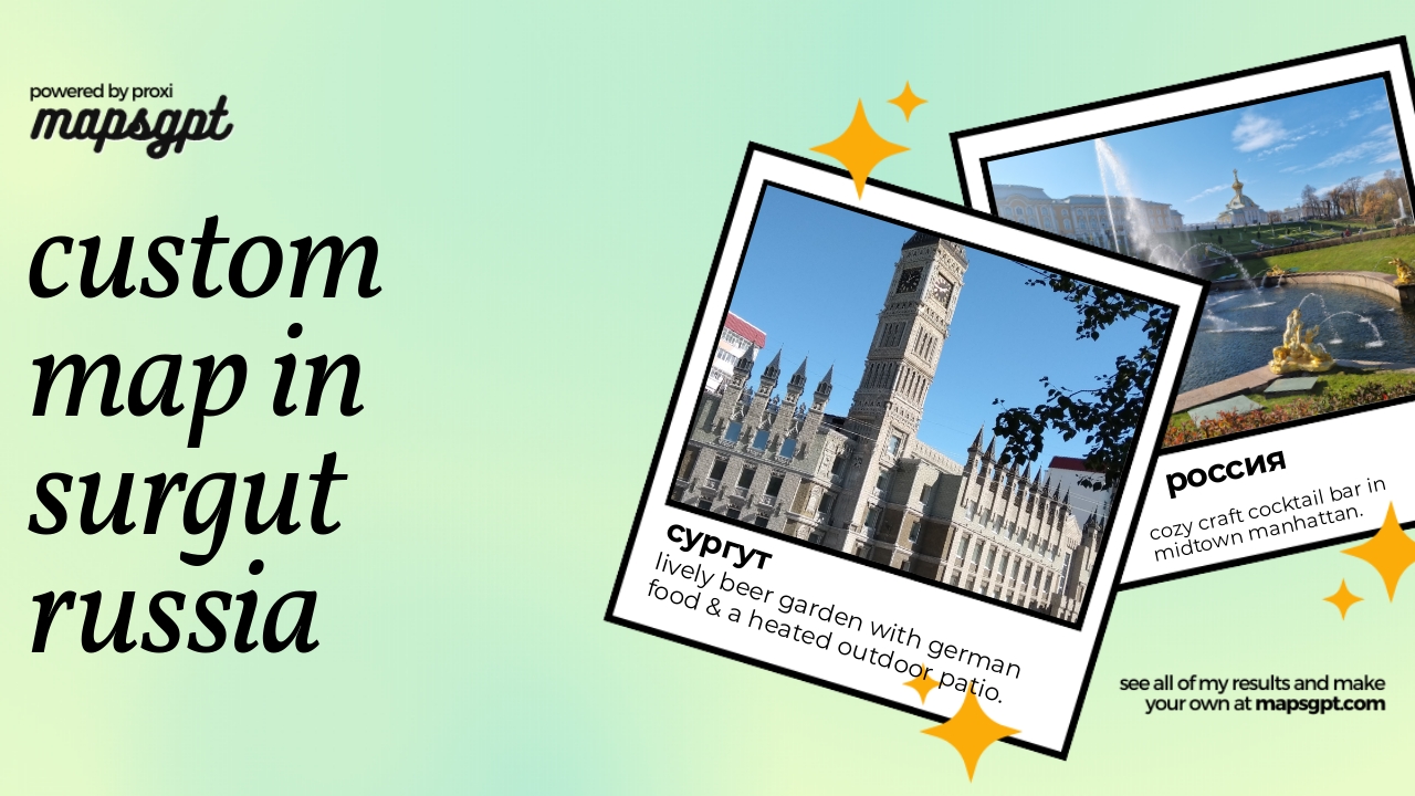 Community Map
Custom map in Surgut russia
4 stops · Surgut, Khanty-Mansi Autonomous Okrug, RussiaShared by the Proxi community Community Map
first dates near Surgut
7 stops · Surgut, Khanty-Mansi Autonomous Okrug, RussiaShared by the Proxi community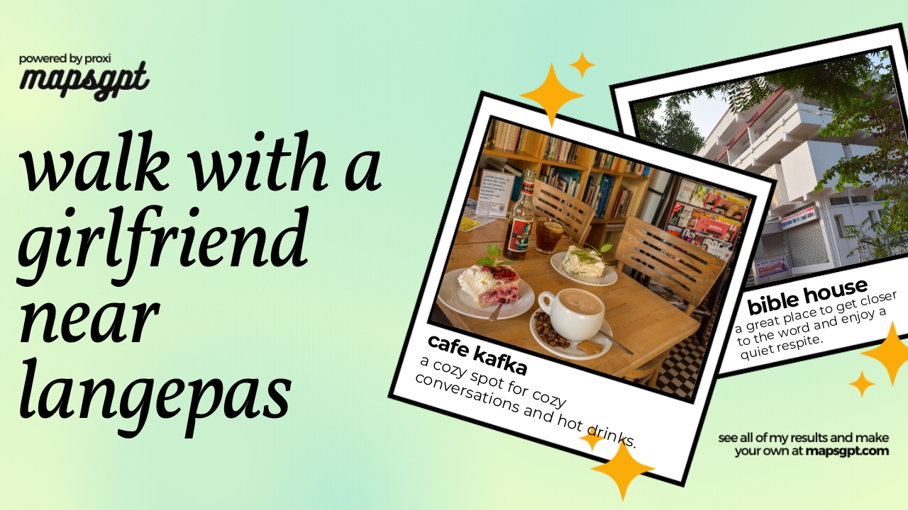 Community Map
Walk with a girlfriend near Langepas
10 stops · Langepas, Khanty-Mansi Autonomous Okrug, RussiaShared by the Proxi community Community Map
Первое свидание near Новый Уренгой
5 stops · Novy Urengoy, Yamalo-Nenets Autonomous Okrug, RussiaShared by the Proxi communityCommunity Map
Map of Russia
82 stops · RussiaShared by the Proxi community
This map was made with Proxi
Have a main street, a market, or a story worth walking? Make your own map in a few minutes.