
Map · 15 places
Ancient Caucasus Regions
A map highlighting key historical regions, rivers, and urban centers of the Caucasus during the Antiquity and Sasanian Eras.
Made with ProxiUpdated Jun 2026
- Territory 3
- Historical Region 2
- Mountain Range 2
- River 2
- Urban Center 2
- Body of Water 1
- Borderland 1
- Historical Kingdom 1
- Strategic Location 1
Places on This Map
15 places · 9 groupsNearby Maps
Autonomous Countries Map
97 stops · default_map_center Lars Ejgaard Bissenbacker Jørgensen's Workspace
Community Map
North Caucasus and Surroundings
3 stops · CaucasusShared by the Proxi communityCommunity Map
Caucasus Region Map
18 stops · CaucasusShared by the Proxi communityCommunity Map
Caucasus Points of Interest
5 stops · CaucasusShared by the Proxi community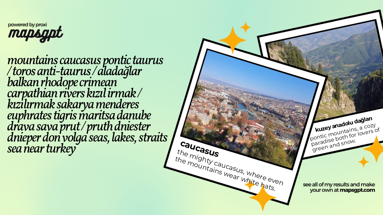 Community Map
mountains Caucasus Pontic Taurus / Toros Anti-Taurus / Aladağlar Balkan Rhodope Crimean Carpathian rivers Kızıl Irmak / Kızılırmak Sakarya Menderes Euphrates Tigris Maritsa Danube Drava Sava Prut / Pruth Dniester Dnieper Don Volga seas, lakes, straits Sea near Turkey
23 stops · TürkiyeShared by the Proxi communityCommunity Map
European Geography
16 stops · EuropeShared by the Proxi community
This map was made with Proxi
Have a main street, a market, or a story worth walking? Make your own map in a few minutes.