
Map · 16 places
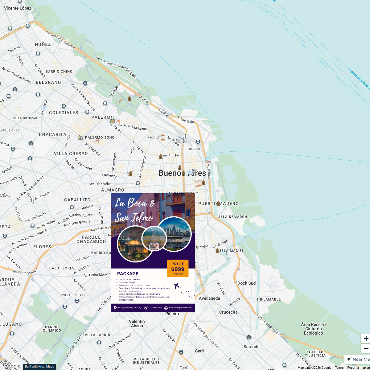
Puerto Madero Exploration
A detailed map highlighting various locations in Puerto Madero, Buenos Aires.
Made with ProxiUpdated May 2026
- Neighborhood 3
- Costanera 2
- Pedestrian Walkway 2
- Plaza 2
- Waterbody 2
- Avenue 1
- Boulevard 1
- Bridge 1
- District 1
- Natural Reserve 1
Places on This Map
16 places · 10 groupsNearby Maps
Buenos Aires Exploration Map
25 stops info's Workspace
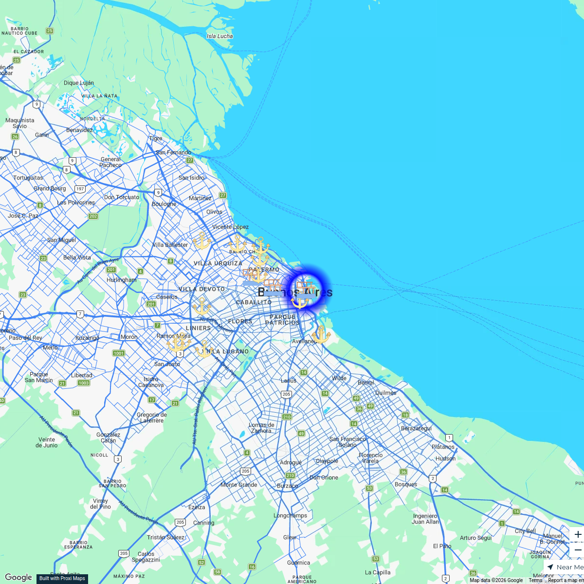
Buenos Aires Sea Ports and Docks
15 stops · Buenos Aires, Argentina dwsmith.jw's Workspace
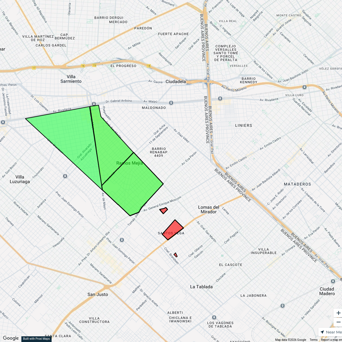
Villas of Ramos Mejía
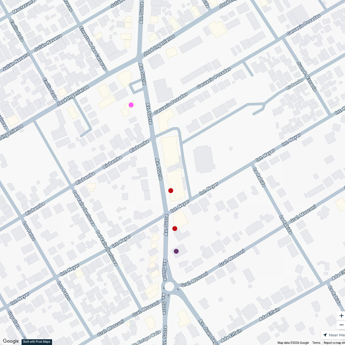
3 stops0suka's WorkspaceBéccar Local Highlights
4 stops · Av. Sucre 2257, B1643AQD Béccar, Provincia de Buenos Aires, ArgentinaRomina Barrios's WorkspacePower Solutions in Madrid
9 stopsmarketingps's WorkspacePatriots Fans Around the Globe
635 stopsarielles's Workspace

This map was made with Proxi
Have a main street, a market, or a story worth walking? Make your own map in a few minutes.