
Map · 16 places
Yeovil Transport
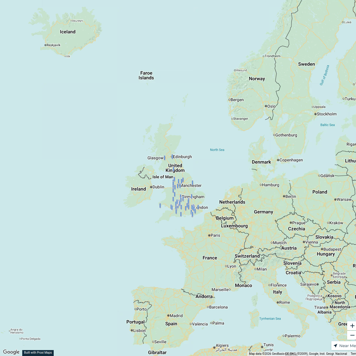
A collection of transportation hubs and routes in Yeovil, UK that includes bus stations, train stations, taxi ranks, and major roadways. This collection highlights the various modes of transport available for quick travel across the area.
Made with ProxiUpdated May 2026
- Public Transport 5
- Transport Hubs 5
- Taxis 4
- Cycling Routes 2
Places on This Map
16 places · 4 groupsNearby Maps
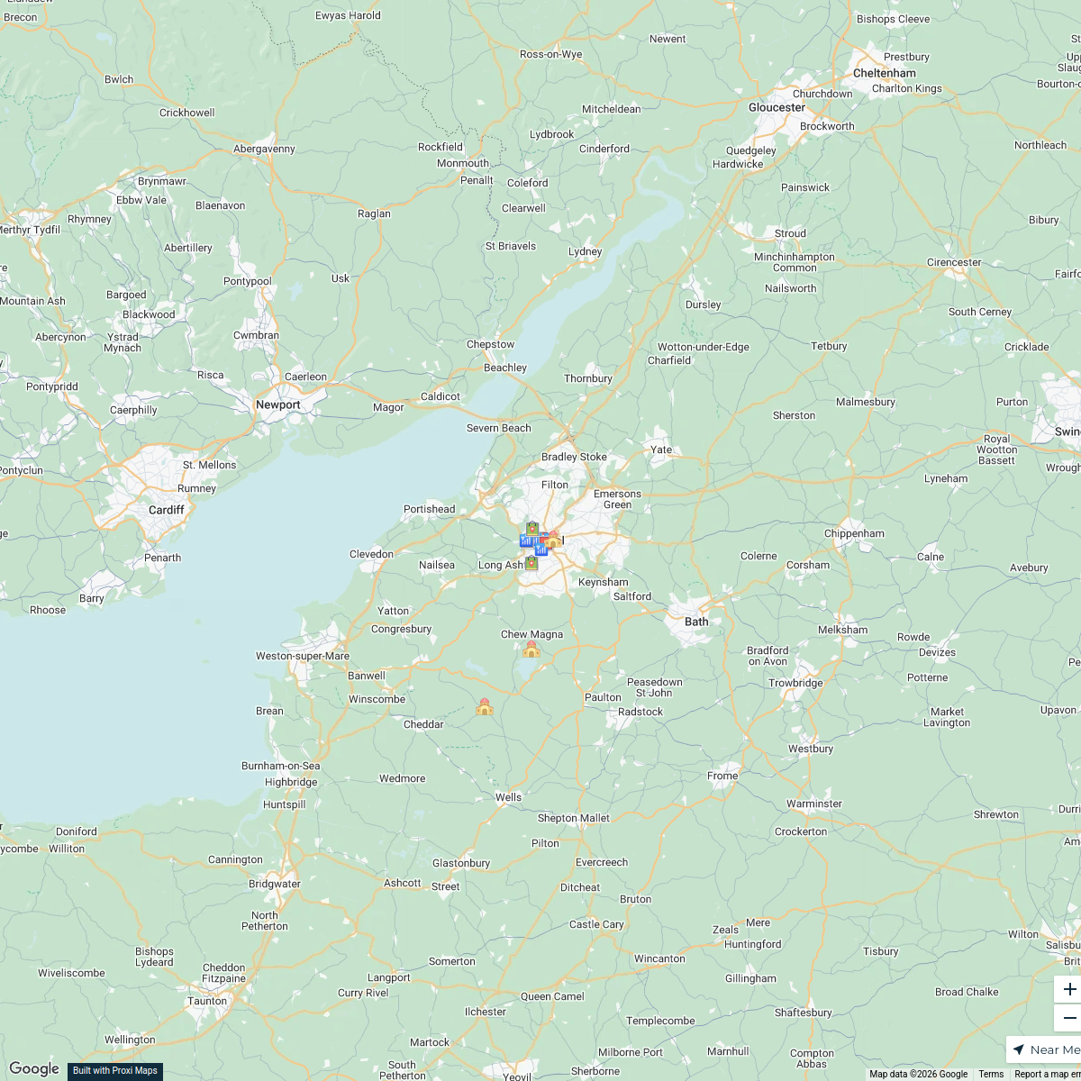
Live Music Venues in Bristol
18 stops · Bristol, UK Alan J Hegarty's Workspace
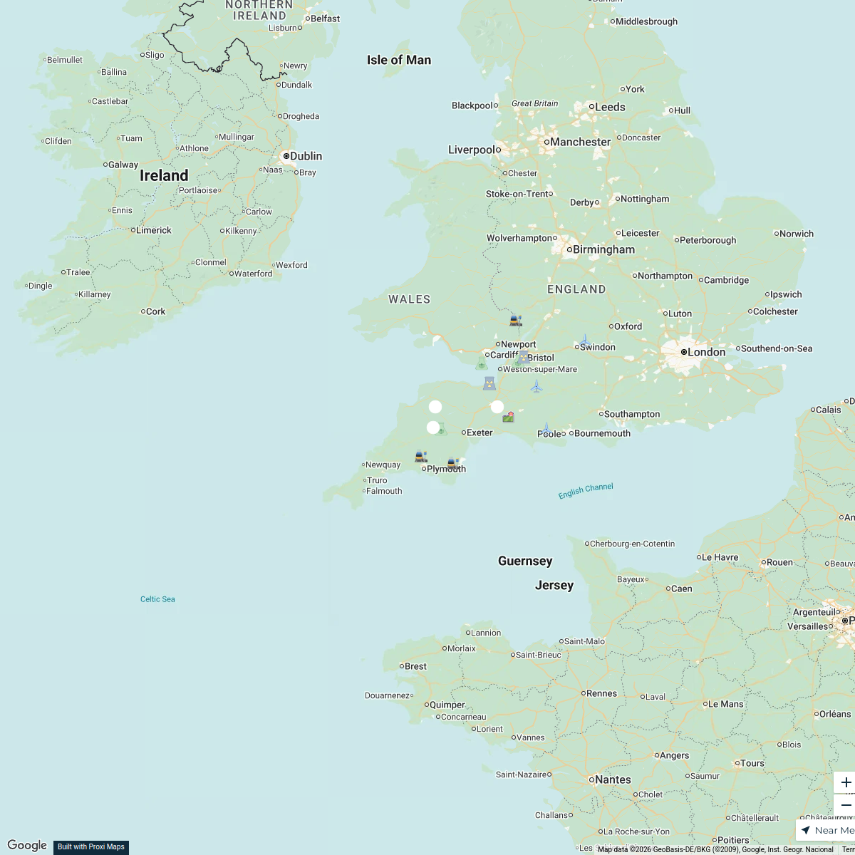
South West England Power Map
16 stops · South West England, UK matt selby's Workspace
UK Pet at Home Map
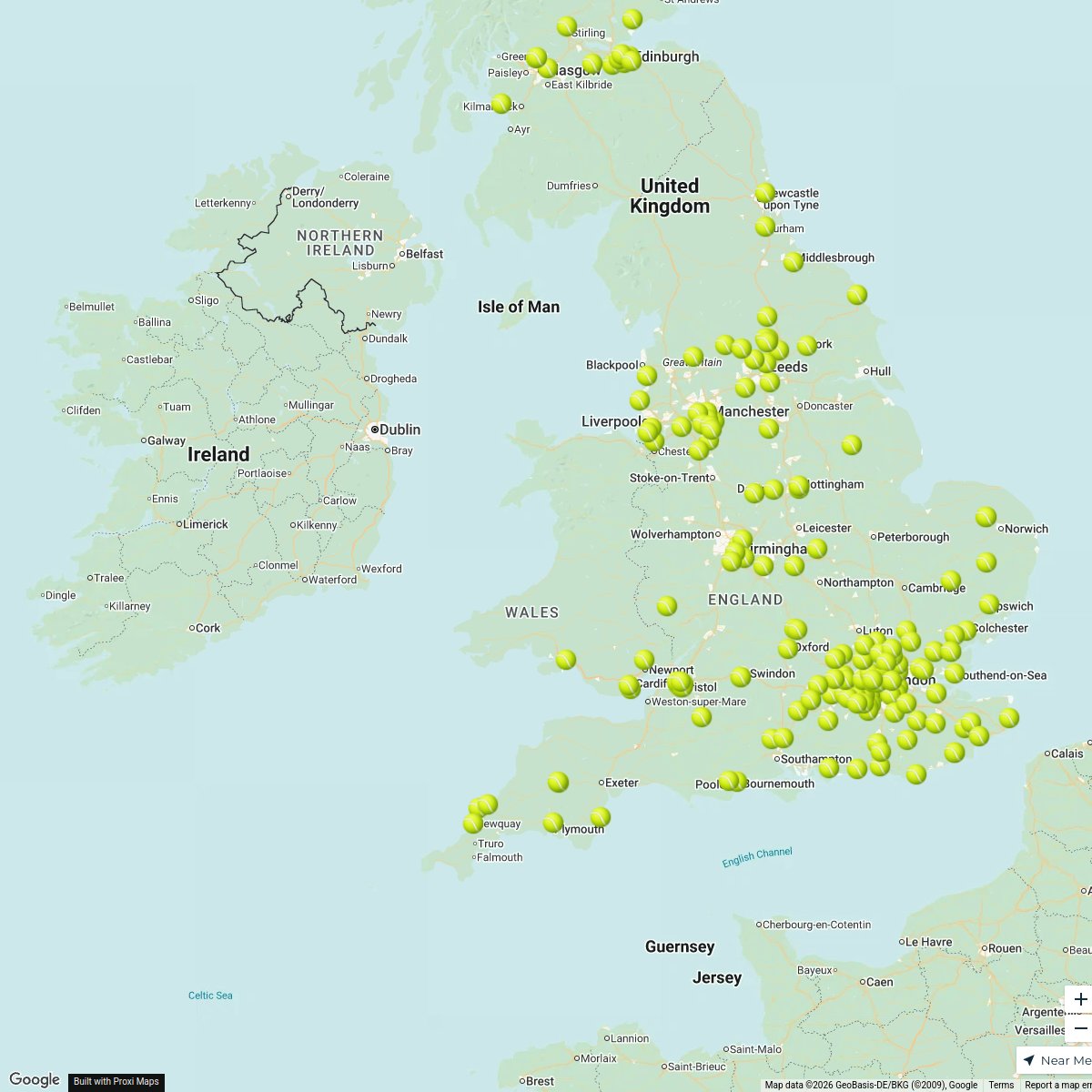
25 stops · Cannock, UKHLP UKPadel Courts in the UK
196 stopsDarren Lock's Workspace
Outside's where it's at this summer
464 stops Hubbub Nature Network
CBUK/WW map!
64 stopsskirkwood-horne's Workspace
This map was made with Proxi
Have a main street, a market, or a story worth walking? Make your own map in a few minutes.