
Map · 15 places
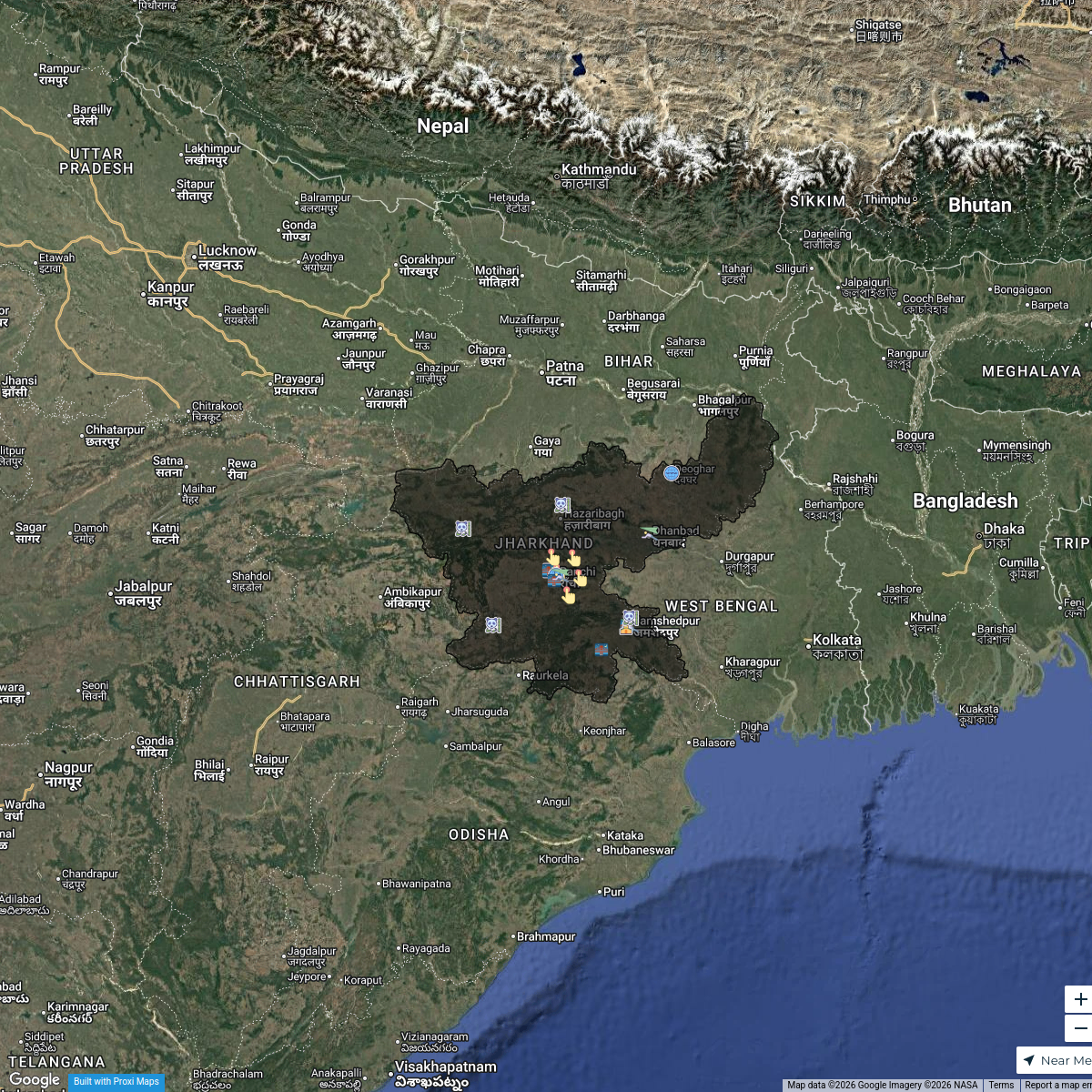
Laxmanpur Village Overview
A detailed satellite-style map showcasing the intricate layout of Laxmanpur village, including its roads, residential areas, and agricultural lands.
Made with ProxiUpdated May 2026
- Agricultural Land 2
- Natural Feature 2
- Artisan Shop 1
- Commercial Area 1
- Educational Institution 1
- Government Building 1
- Health Facility 1
- Infrastructure 1
- Landmark 1
- Recreation Area 1
- Religious Site 1
- Residential Area 1
- Social Venue 1
Places on This Map
15 places · 13 groupsNearby Maps
Tourism Highlights in Jharkhand
21 stops · Jharkhand, India Yuvraj Thakur's Workspace
New Joiners’ Homes, Hops & Horizons
57 stops · Asiashanellefernz's WorkspaceNew Joiners’ Homes, Hops & Horizons
58 stops · USA, United States asianpaintsppglinkedin's Workspace
Community Map
Lachhmanpur Enumeration Map
15 stops · Laxmanpur Rd, Jharkhand 828402, IndiaShared by the Proxi communityCommunity Map
Laxmanpur Overview
15 stops · Laxmanpur Rd, Jharkhand 828402, IndiaShared by the Proxi communityCommunity Map
Laxmanpur and Surroundings
16 stops · Laxmanpur Rd, Jharkhand 828402, IndiaShared by the Proxi community
This map was made with Proxi
Have a main street, a market, or a story worth walking? Make your own map in a few minutes.