
Map · 15 places
Electoral Districts Map of Yoshkar-Ola
A detailed map highlighting three electoral districts of Yoshkar-Ola, each shaded in distinct colors.
Made with ProxiUpdated May 2026
- Cultural Attractions 5
- Historical Sites 2
- Parks 2
- Religious Sites 2
- Urban Spaces 2
- Architectural Landmarks 1
- Natural Landmarks 1
Places on This Map
15 places · 7 groupsNearby Maps
Community Map
Electoral Districts of Yoshkar-Ola
20 stops · Yoshkar-Ola, Mari El Republic, RussiaShared by the Proxi communityCommunity Map
Electoral Districts in Yoshkar-Ola
16 stops · Yoshkar-Ola, Mari El Republic, RussiaShared by the Proxi communityCommunity Map
chalet near Yoshkar Ola
5 stops · Yoshkar-Ola, Mari El Republic, RussiaShared by the Proxi community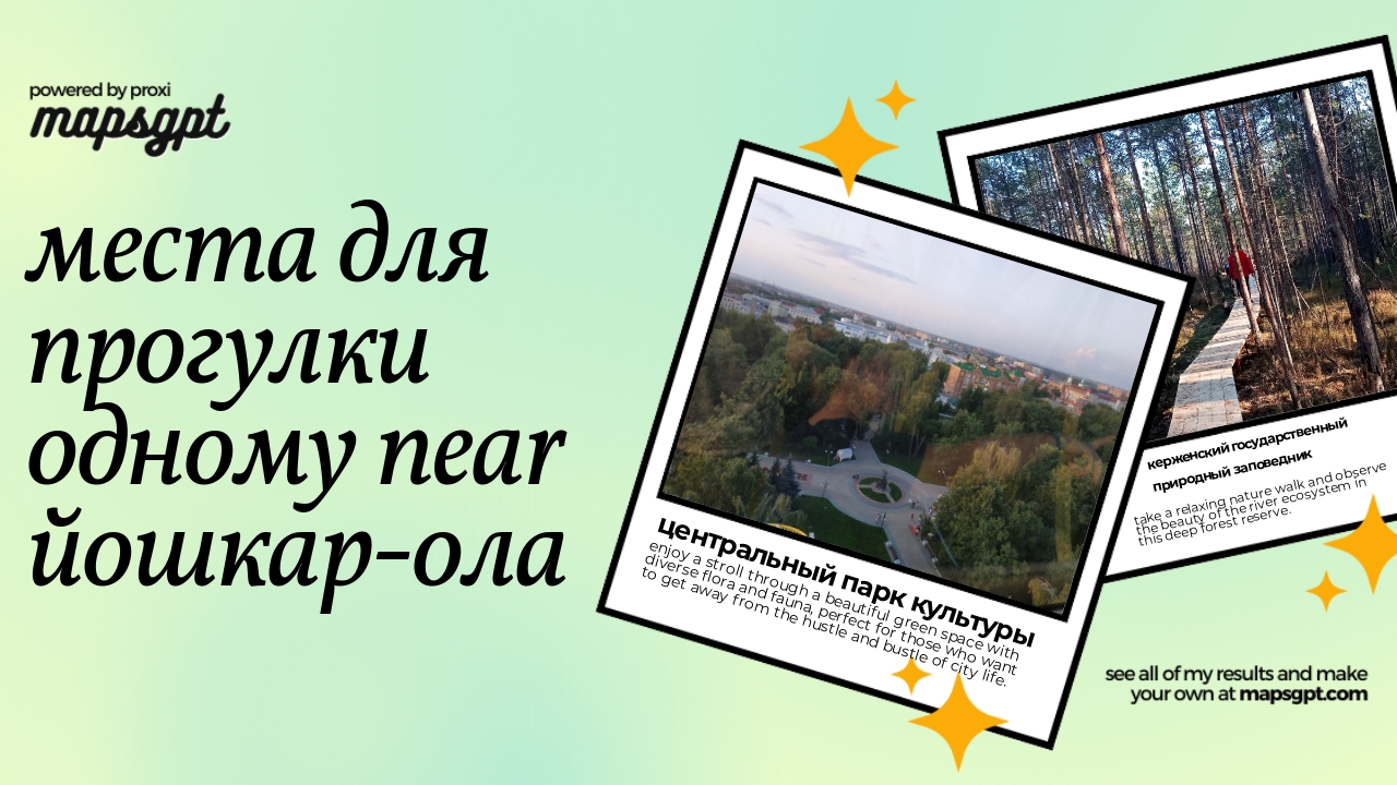 Community Map
Места для прогулки одному near Йошкар-Ола
5 stops · Yoshkar-Ola, Mari El Republic, RussiaShared by the Proxi community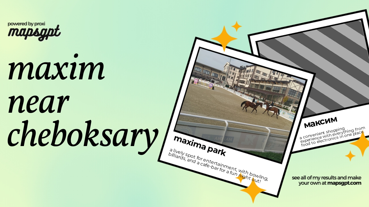 Community Map
Maxim near Cheboksary
4 stops · Cheboksary, Chuvashia Republic, RussiaShared by the Proxi community Community Map
Охота in Оренбург
9 stops · Orenburg, Orenburg Oblast, RussiaShared by the Proxi community
This map was made with Proxi
Have a main street, a market, or a story worth walking? Make your own map in a few minutes.