
Map · 15 places
Historical Map of Ukrainian Lands in the 19th Century
This map highlights key historical sites and cities that played significant roles during the Ukrainian territories' association with various empires in the 19th century.
Made with ProxiUpdated May 2026
- Architectural Landmark 4
- Educational Institution 3
- Religious Site 3
- Historical Square 2
- Cultural Institution 1
- Historical Palace 1
- Museum 1
Places on This Map
15 places · 7 groupsNearby Maps
Explore Ukrainian Cities
25 stops Віталій Валентинович Дмитренко's Workspace
Pin Your Heart
425 stops · Europe Voluson Performance
Loading and Unloading Points New
312 stops Jan Sigmund's Workspace
Cultural Diversity at oOh!
125 stopsevan.lau's WorkspaceCommunity Map
Historical Sights of Lviv
15 stops · Lviv, Lviv Oblast, Ukraine, 79000Shared by the Proxi communityCommunity Map
Historical Sites in Lviv
15 stops · Lviv, Lviv Oblast, Ukraine, 79000Shared by the Proxi community
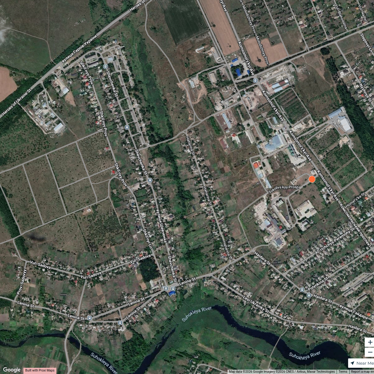

This map was made with Proxi
Have a main street, a market, or a story worth walking? Make your own map in a few minutes.