
Map · 8 places
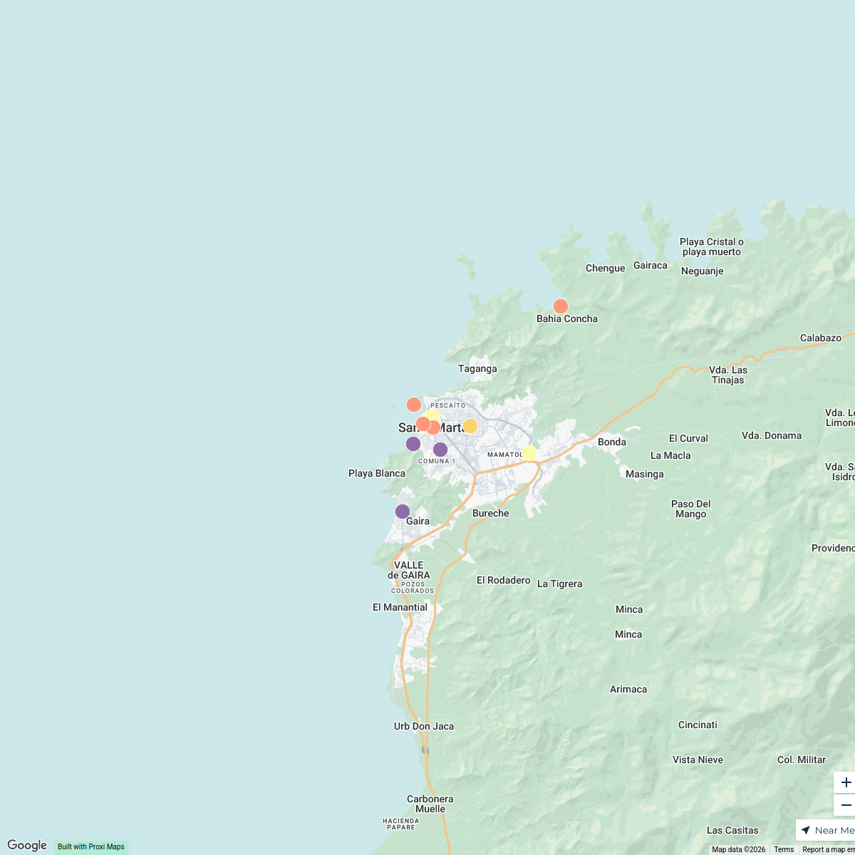
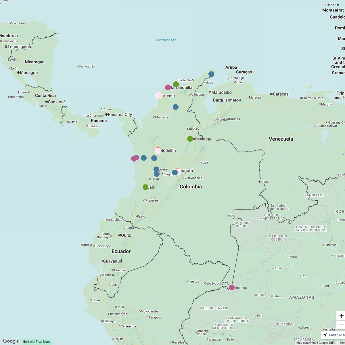
Santa Marta Area Influence Map
A map highlighting Santa Marta and its surrounding areas, showing the connection to the Zona Bananera.
Made with ProxiUpdated Apr 2026
- Beach 2
- Municipality 2
- City 1
- Historical Site 1
- Industrial Area 1
- Mountain Range 1
Places on This Map
8 places · 6 groupsNearby Maps
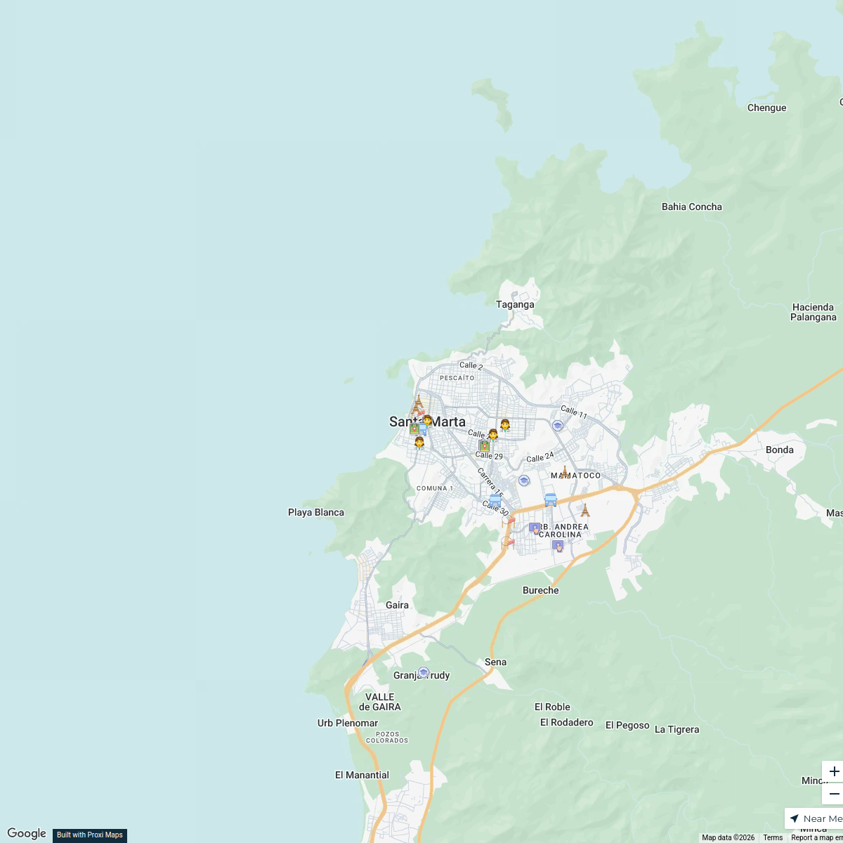
Historical and Defensive Sites of Santa Marta
15 stops · Santa Marta, Magdalena, Colombia Jeon Rossy's Workspace
Barrio 20 de Octubre Map
45 stops · Santa Marta, Magdalena, ColombiaHelen Giraldo's WorkspaceColombia Budget Traveler Itinerary
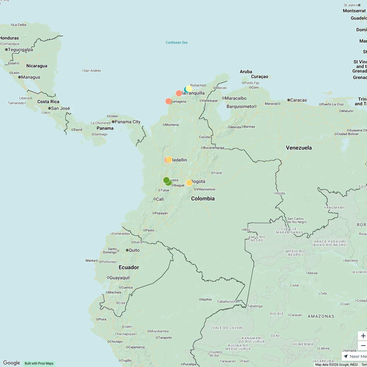
15 stops · ColombiaAbdul Afees Saadudeen's WorkspaceColombia Boutique and Eco Lodges
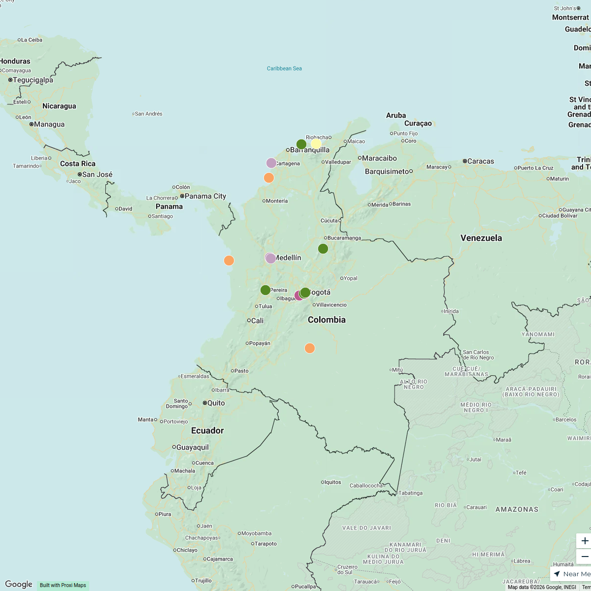
24 stops · ColombiaAbdul Afees Saadudeen's WorkspaceColombia Attractions
33 stops · ColombiaAbdul Afees Saadudeen's WorkspaceColombia Points of Interest
34 stops · ColombiaAbdul Afees Saadudeen's Workspace
This map was made with Proxi
Have a main street, a market, or a story worth walking? Make your own map in a few minutes.