
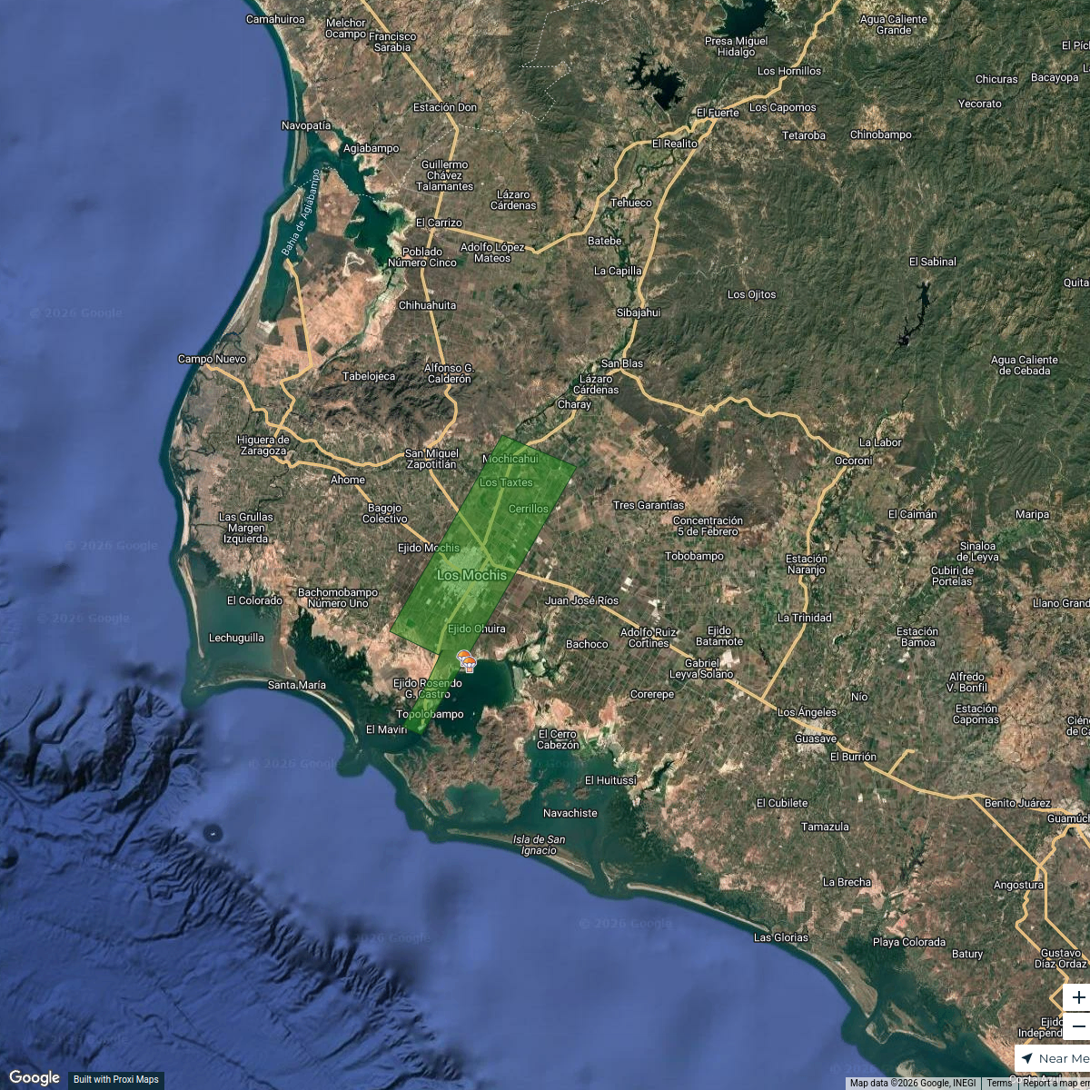
Map · 2 places
Los Mochis Neighborhoods
A map focusing on neighborhoods and facilities in Los Mochis, particularly near Heriberto Valdez and Zacatecas.
Made with ProxiUpdated Apr 2026
- Child Care 1
- Neighborhood 1
Places on This Map
2 places · 2 groupsNearby Maps
Los Mochis Area of Influence
2 stops Luis Rincón's Workspace
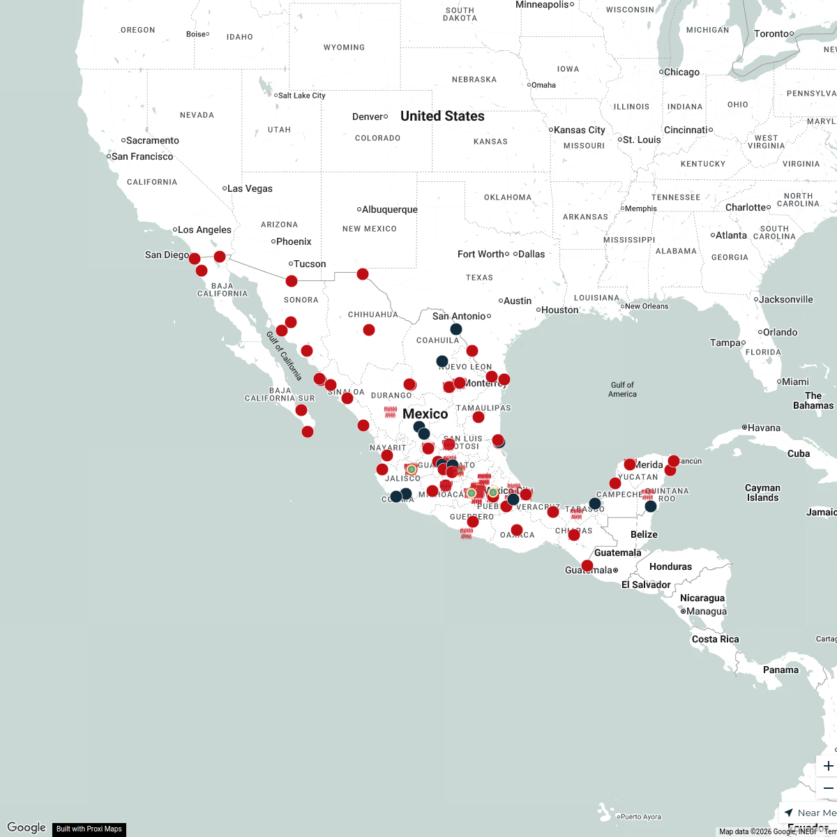
Mundo Joven > Sucursales, México
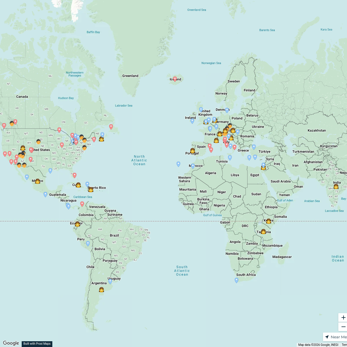
115 stops · MexicoJuan Garoz's WorkspaceShelby and Steven's Journey
121 stops Steven Cosby's Workspace
Community Map
Map of Charay and El Fuerte, Sinaloa
5 stops · 81872 Charay, Sin., MexicoShared by the Proxi communityCommunity Map
Best Dams in Sinaloa
6 stops · Sinaloa de Leyva, Sinaloa, MexicoShared by the Proxi communityCommunity Map
Sinaloa Map
4 stopsShared by the Proxi community
This map was made with Proxi
Have a main street, a market, or a story worth walking? Make your own map in a few minutes.