
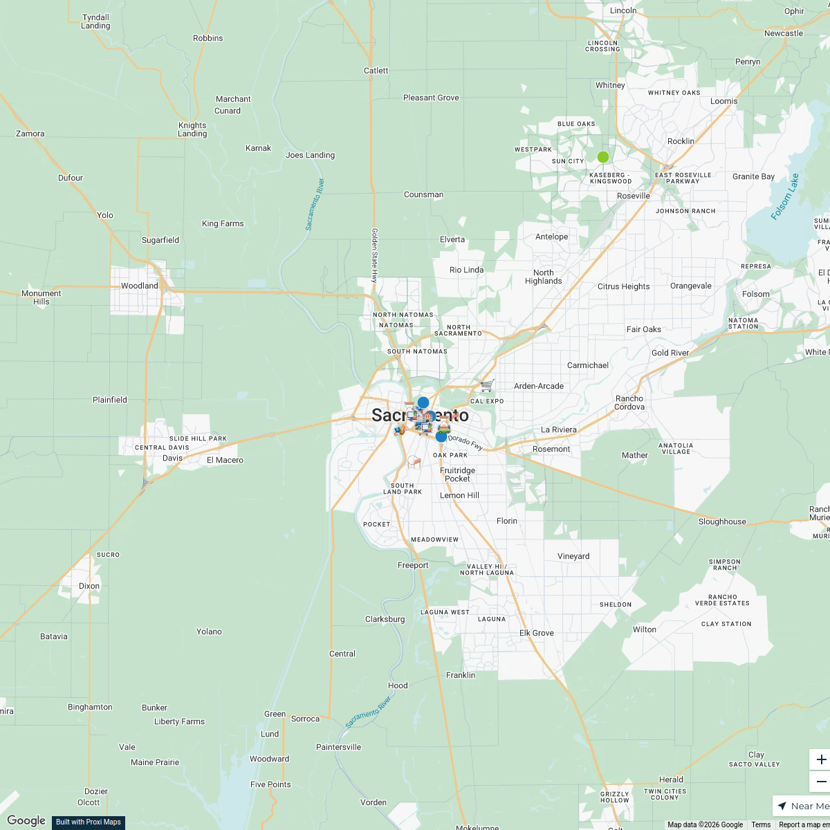
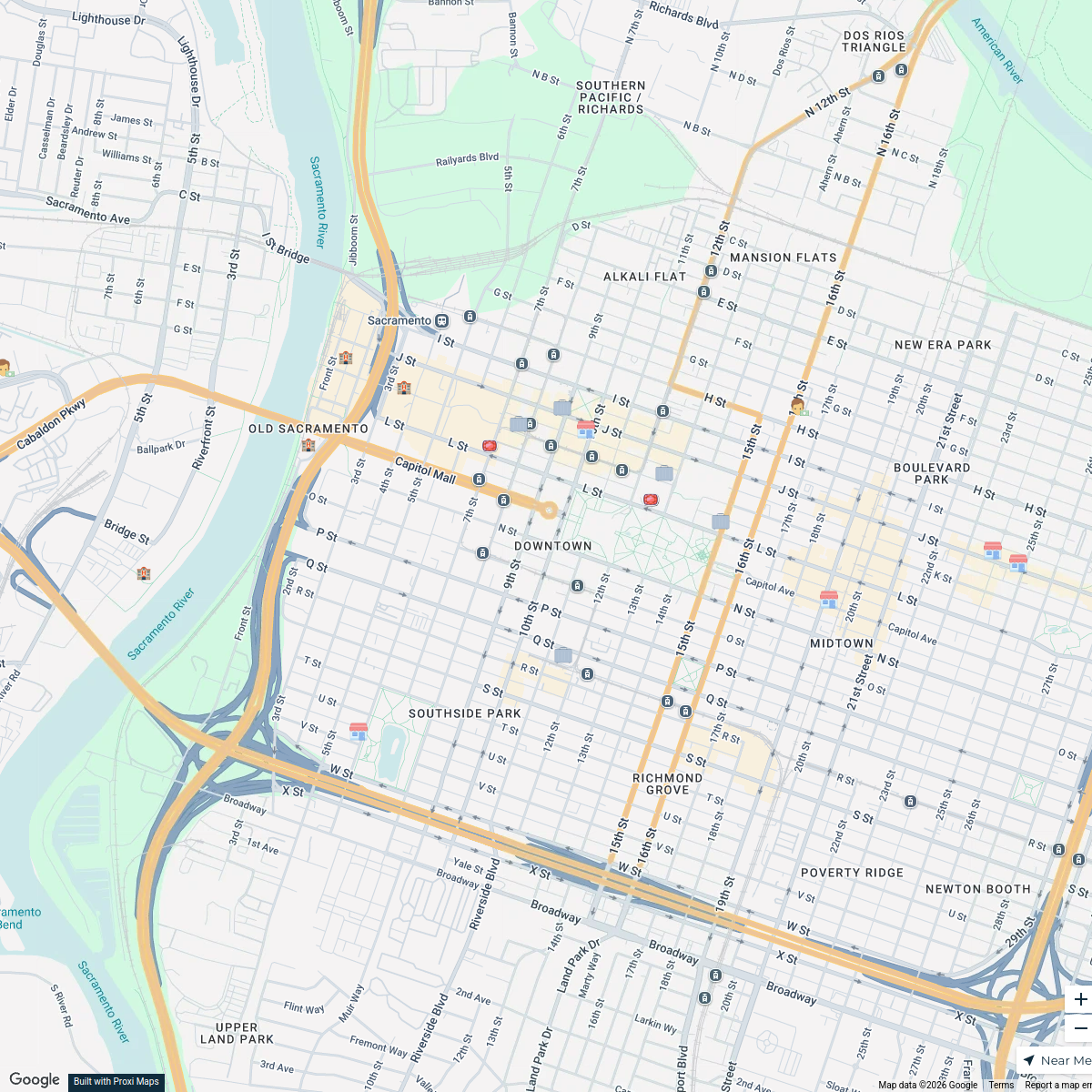
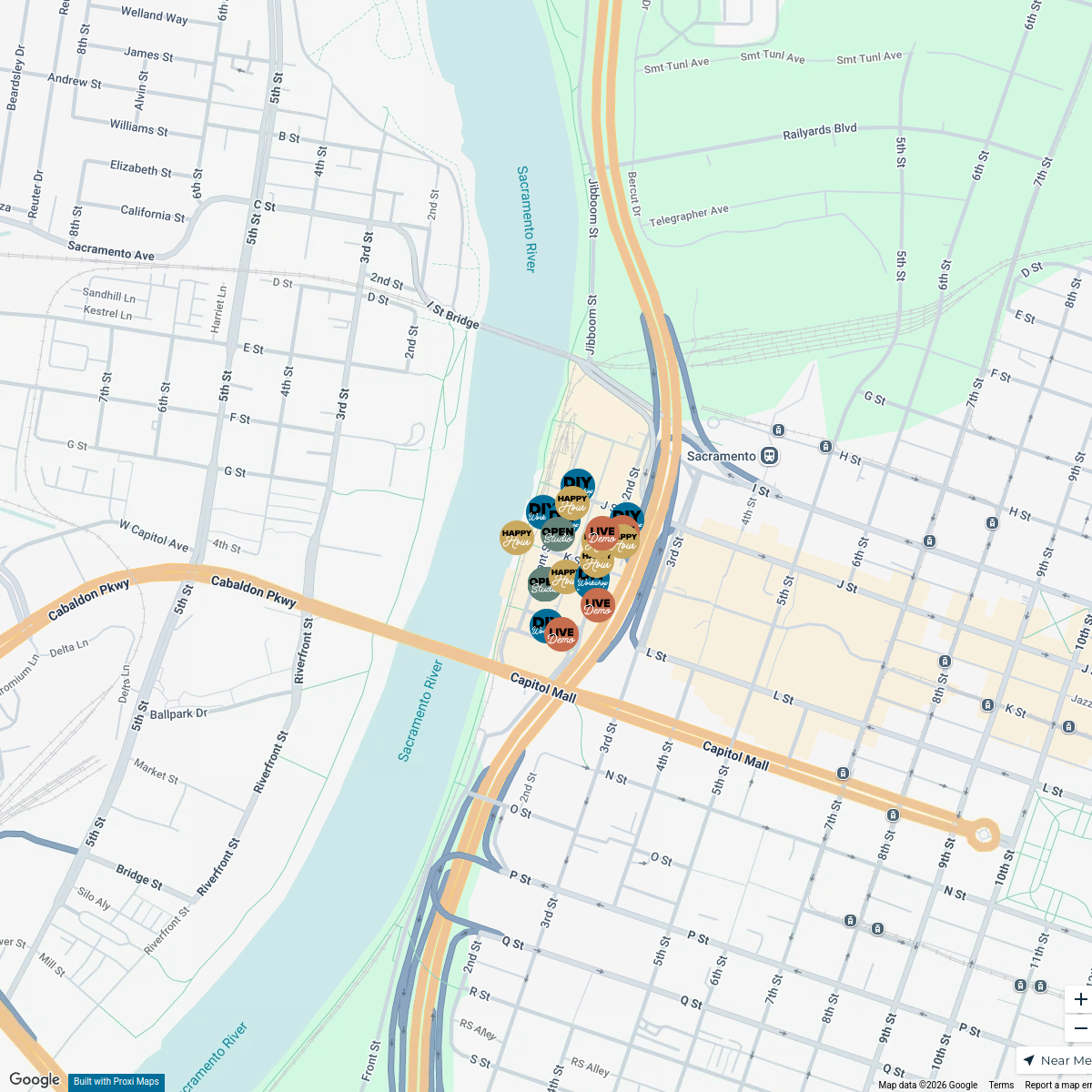
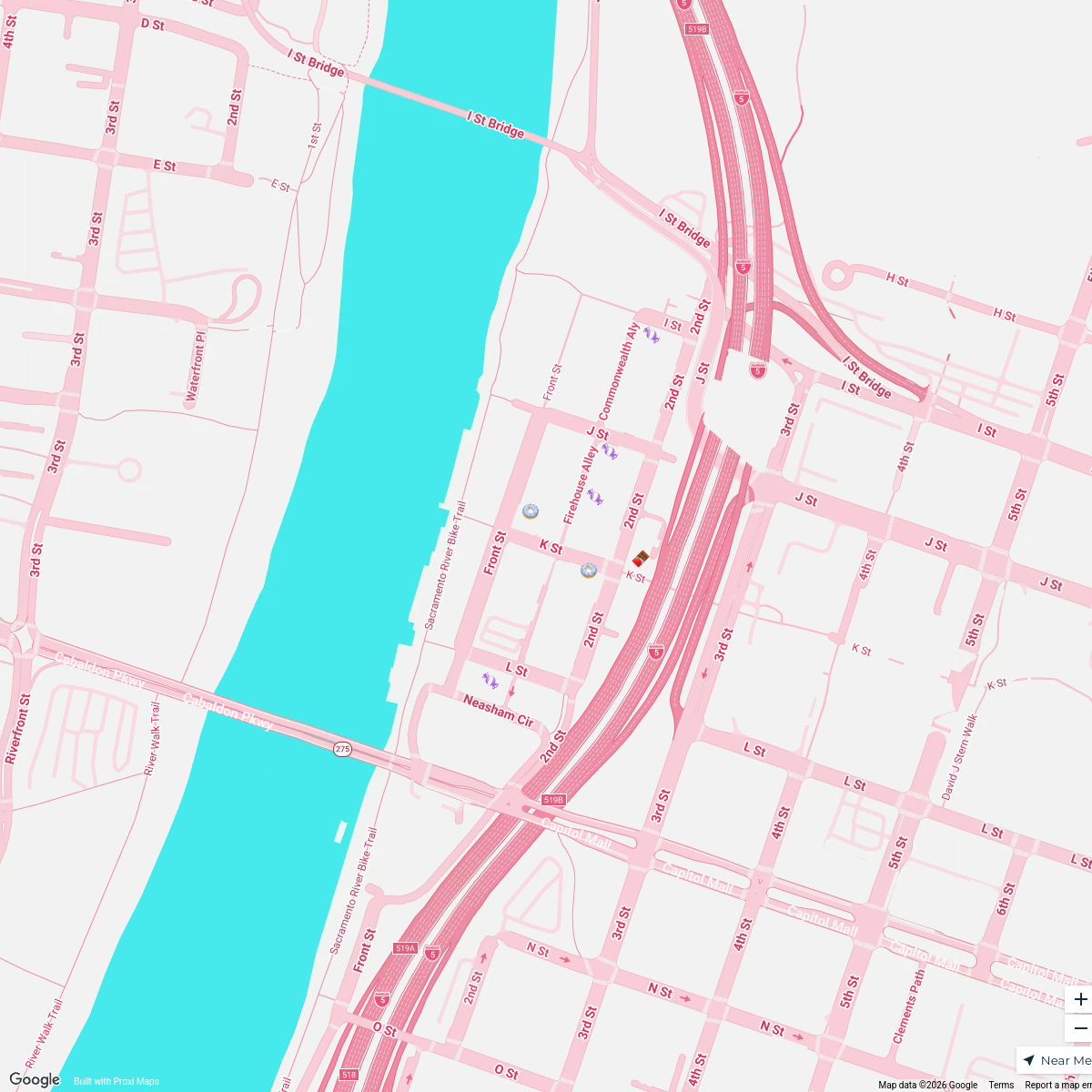
Map · 17 places · Sacramento, CA
Sacramento Streetscape
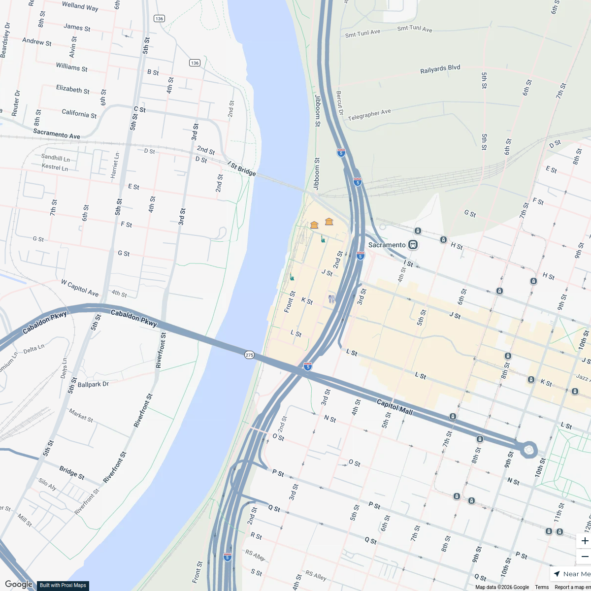
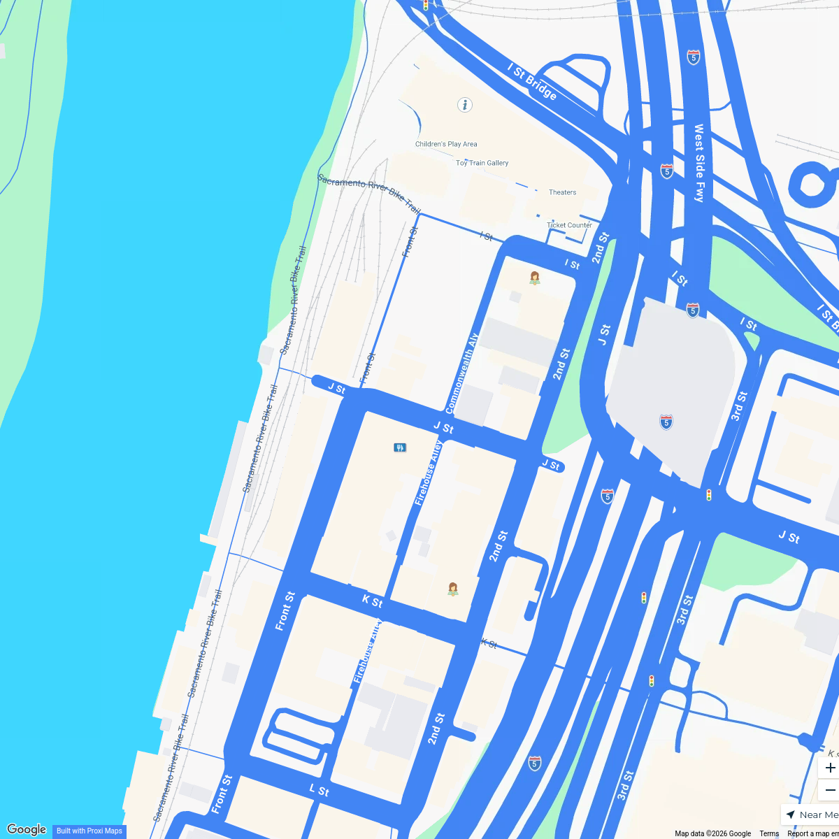
A detailed map focusing on the area surrounding the intersection of 10th St & L St in Sacramento, CA. This map is designed to highlight local businesses, parks, and points of interest in the vicinity.
Made by Logout and Lace UpUpdated Apr 2026
- restroom 4
- bounce house 2
- Check in table 2
- Food truck 2
- road closure 2
- water 2
- Finish 1
- first aid 1
- trash 1
Places on This Map
17 places · 9 groupsNearby Maps
Sacramento City Map
24 stops · Sacramento, CA, USAMackenzie MarcomDowntown Sacramento Hotels
22 stops · Downtown, Sacramento, CA, USA Sara Taylor's Workspace
Third Thursday
39 stops cevans's Workspace
Sweet Tooth Adventure
7 stopscevans's WorkspaceHistory Buff's Trail
5 stopscevans's WorkspaceFamily Day
3 stopscevans's Workspace
This map was made with Proxi
Have a main street, a market, or a story worth walking? Make your own map in a few minutes.