
Map · 9 places
Historical Map of the Iberian Peninsula 1406
A detailed map illustrating the borders of the Kingdom of Castile, Crown of Aragon, and Kingdom of Portugal in the year 1406, with a focus on the regions around Cañete and Albarracín.
Made with ProxiUpdated Mar 2026
- Historical City 7
- Historical Town 2
Places on This Map
9 places · 2 groupsNearby Maps
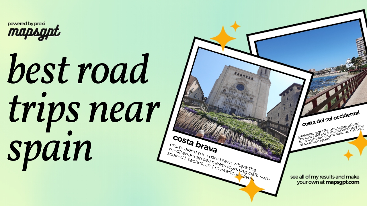
Best Road trips near Spain
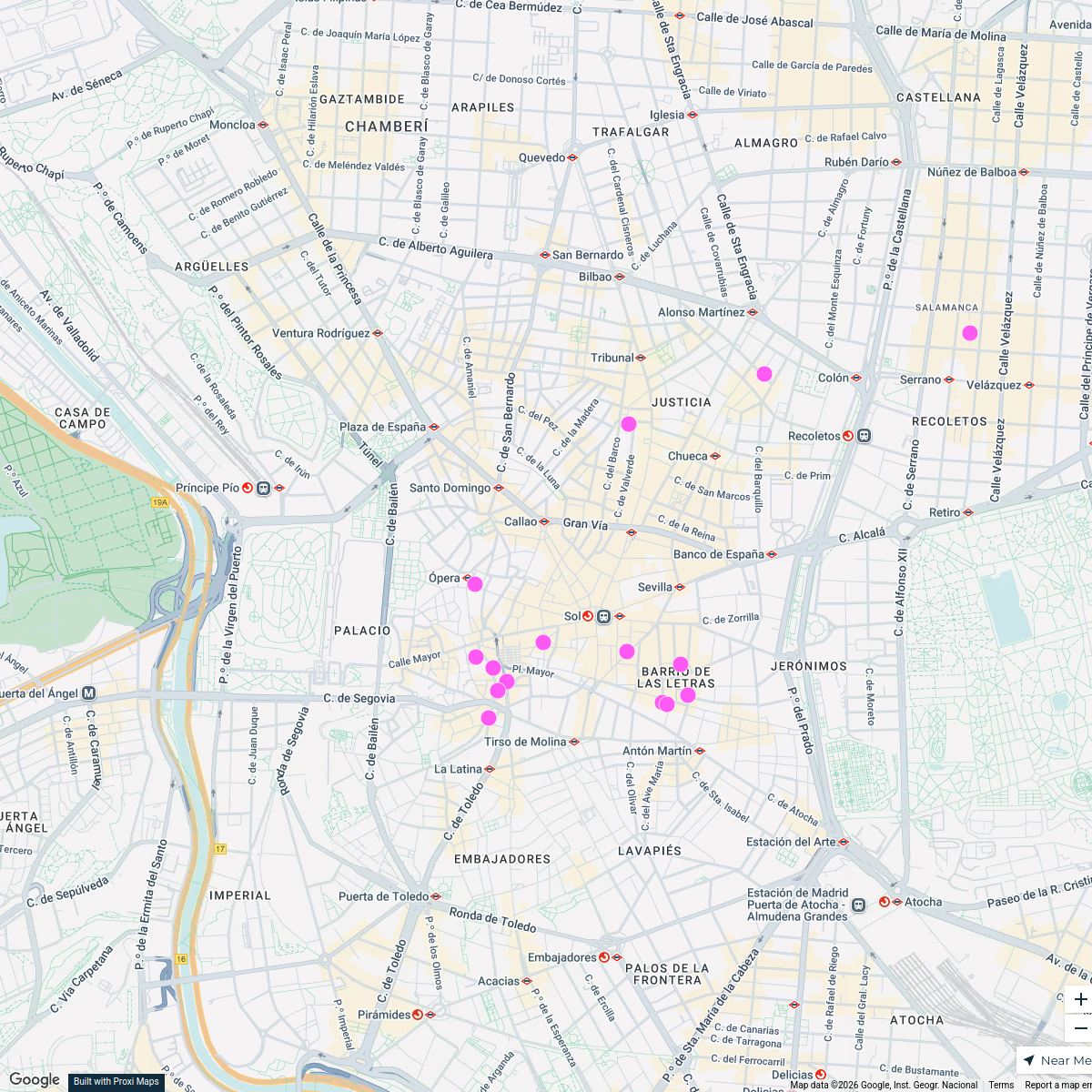
9 stops · SpainCmcnamara · @CmcnamaraTop Tapas Spots in Madrid
15 stops tess's Workspace
Lugares Comunes in Talavera de la Reina
2 stops · 45600 Talavera de la Reina, Toledo, Spain JOSE ANDRES CEMBRANO's Workspace
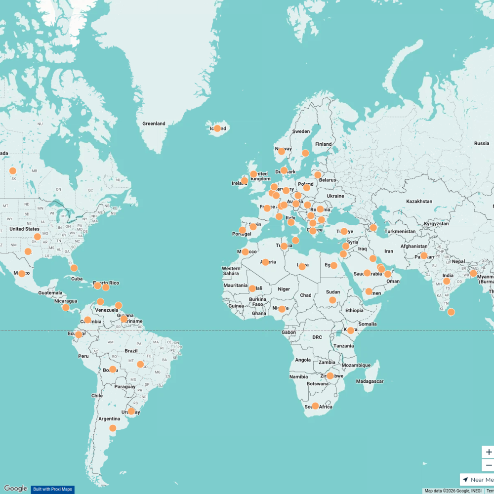
Member Directory Map
465 stops rlane's Workspace
Trials Clubs & Enduro Parks
179 stops David Lemereis's Workspace
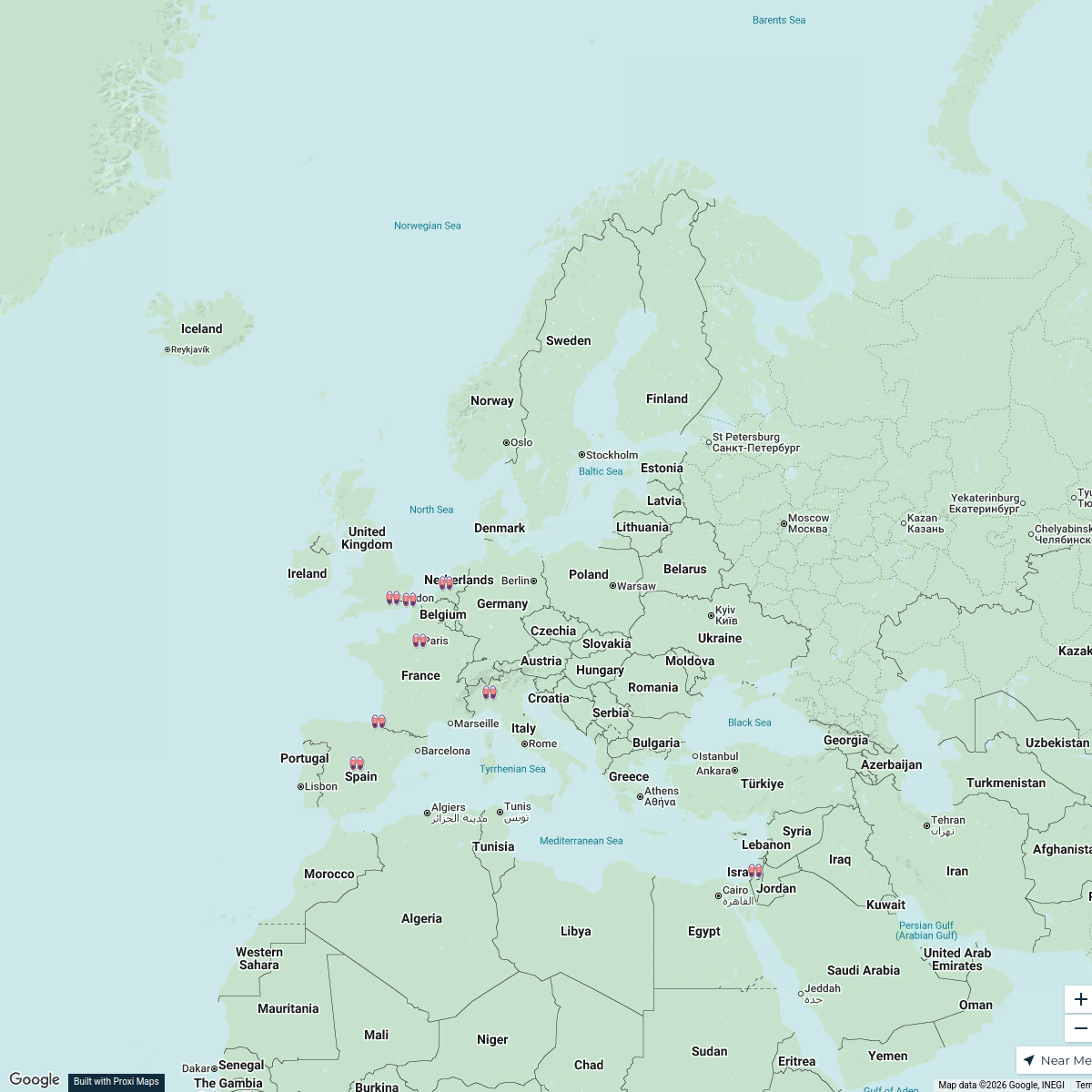
Stussy Shop Locations in Europe
25 stops · Europe, Europa Rodrigo de Oya Fernández's Workspace


This map was made with Proxi
Have a main street, a market, or a story worth walking? Make your own map in a few minutes.