
Map · 15 places
Historical Map of Junín
This map highlights key historical sites and landmarks in and around Parque Ararat, providing a context for the rich history of Junín, Peru.
Made with ProxiUpdated Feb 2026
- Cultural Center 1
- Cultural Festival 1
- Cultural Tradition 1
- Historic Town 1
- Historical Landmark 1
- Historical Passage 1
- Historical Residence 1
- Monument 1
- Museum 1
- Natural Historical Significance 1
- Natural Landmark 1
- Public Square 1
- Religious Landmark 1
- Religious Site 1
- Sports Venue 1
Places on This Map
15 places · 15 groupsNearby Maps
 Community Map
quebradas near Tingo maría- huanuco-Perú
5 stops · Tingo María 10131, PeruShared by the Proxi communityCommunity Map
Explore Peru's Ports and Roads
8 stops · PeruShared by the Proxi communityCommunity Map
Cajamarca Highlights
15 stops · PeruShared by the Proxi communityCommunity Map
Peru Power Lines
15 stops · PeruShared by the Proxi communityCommunity Map
Mining Areas in Peru
15 stops · PeruShared by the Proxi community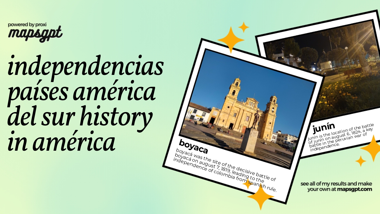 Community Map
independencias países américa del sur history in américa
11 stops · AmericasShared by the Proxi community
This map was made with Proxi
Have a main street, a market, or a story worth walking? Make your own map in a few minutes.