
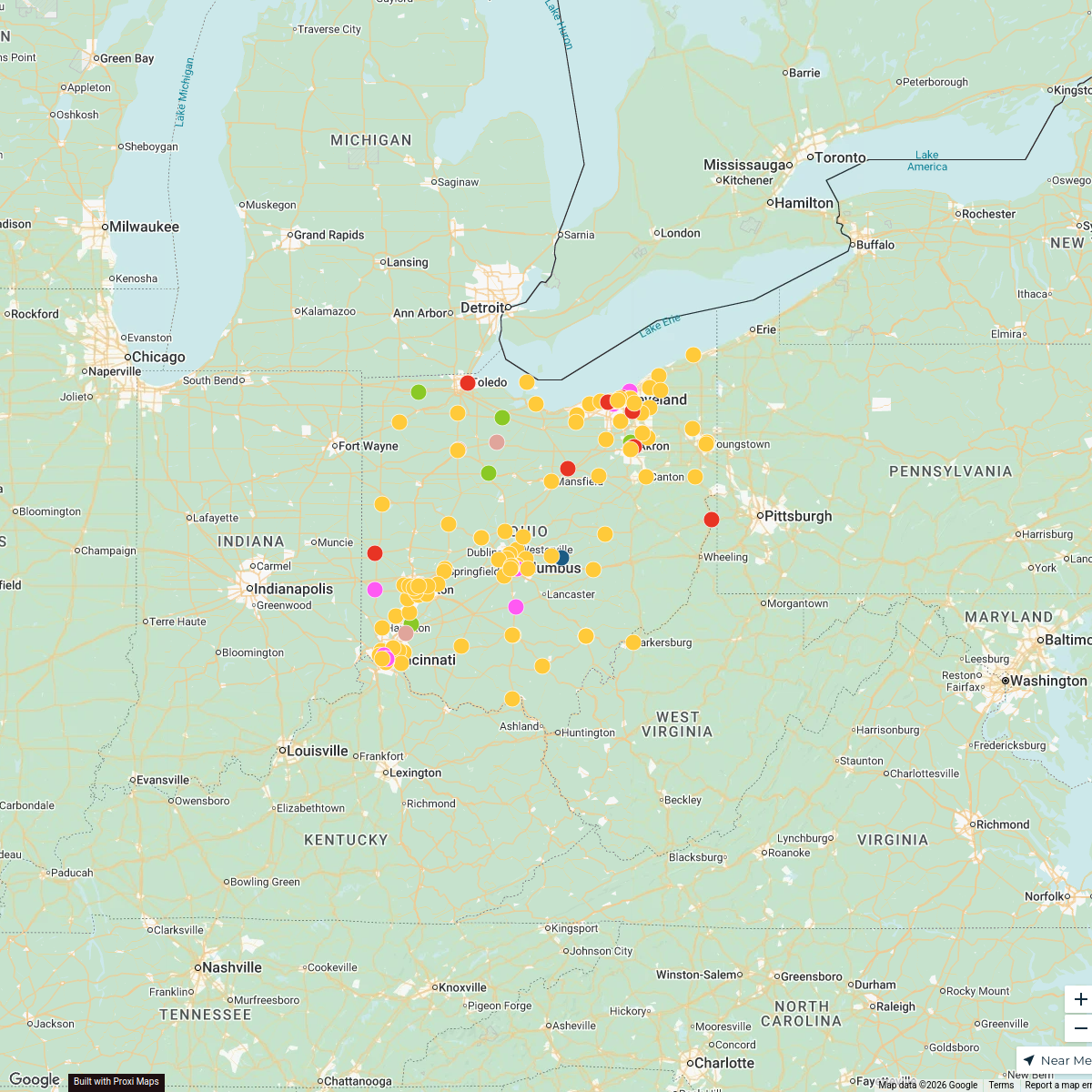
Map · 16 places · Sandusky, OH
Sandusky and Surroundings
Map displaying city boundaries, state routes, and mile markers around Sandusky, OH.
Made with ProxiUpdated Feb 2026
- Mile Marker 5
- Highway 4
- Amusement Park 1
- City 1
- Island 1
- Landmark 1
- Museum 1
- Theater 1
- Water Body 1
Places on This Map
16 places · 9 groupsNearby Maps
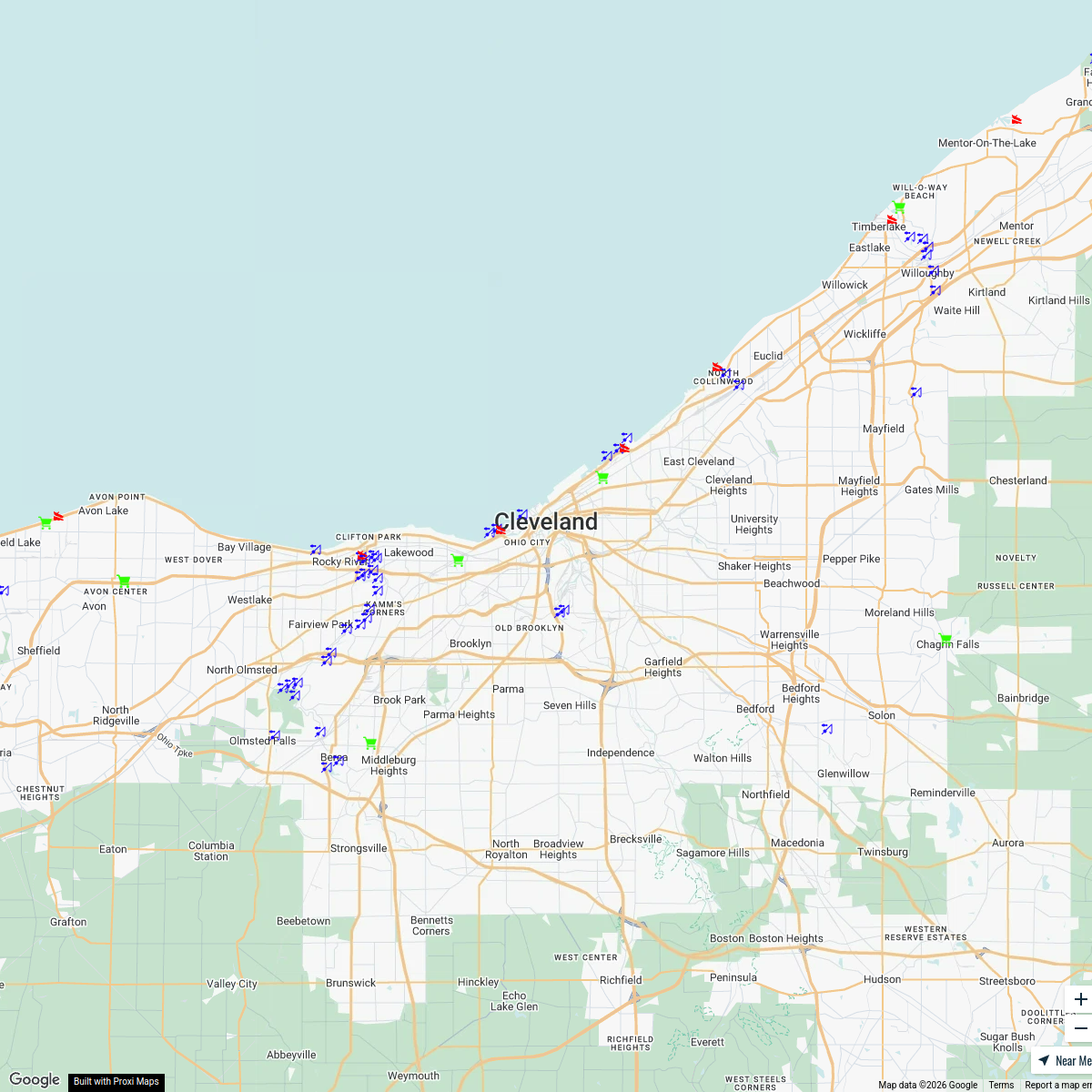
Interactive Fishing Map
113 stops Zach Kaz's Workspace
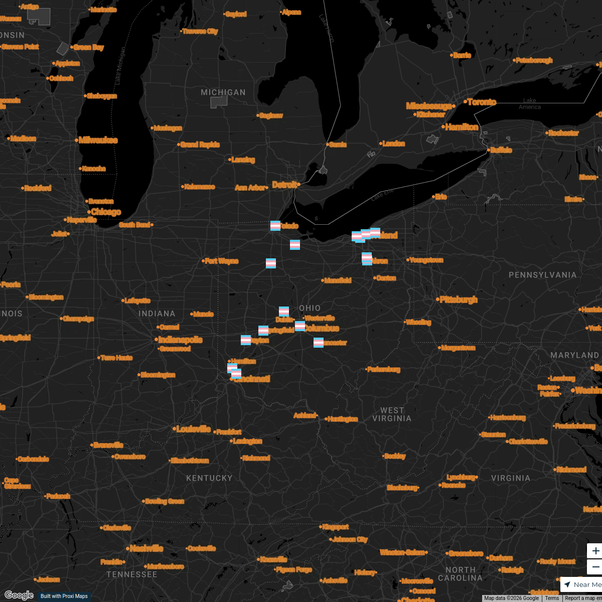
Trans Day of Remembrance 2024 - Ohio
16 stops · Ohio, USA Ken Schneck's Workspace

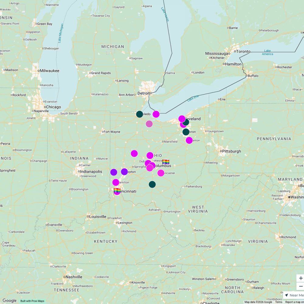
The Buckeye Flame Pride Guide 2024
134 stops · Ohio, USAKen Schneck's WorkspacePride Guide Test 2
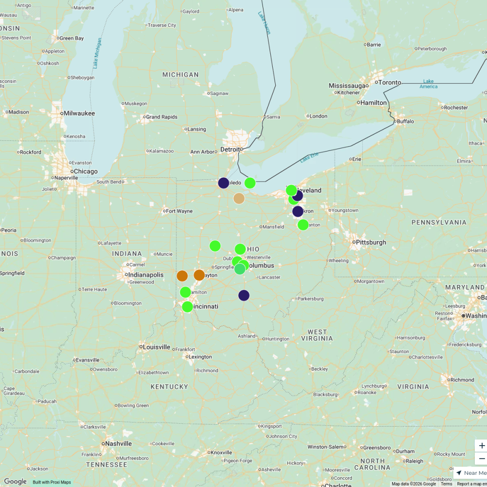
21 stops · Ohio, USAlytle's WorkspacePride Events in Ohio
19 stops · Ohio, USAlytle's Workspace2025 Ohio Pride Guide
141 stopsKen Schneck's Workspace
This map was made with Proxi
Have a main street, a market, or a story worth walking? Make your own map in a few minutes.