
Map · 15 places
Transit Route Map for Belagavi Metropolitan Area
A proposed map showing transit system routes including tram, metro, and BRTS stations.
Made with ProxiUpdated Feb 2026
- Neighborhood 9
- Transport 4
- City 1
- Region 1
Places on This Map
15 places · 4 groupsNearby Maps
Rittal Industries Map
25 stops · Hosur, Tamil Nadu, India Sudhir Singh's Workspace
Community Map
Belagavi Transport and City Map
7 stops · Belagavi Metropolitan AreaShared by the Proxi communityCommunity Map
Gokak near Belagavi
7 stops · Belagavi, Karnataka, IndiaShared by the Proxi community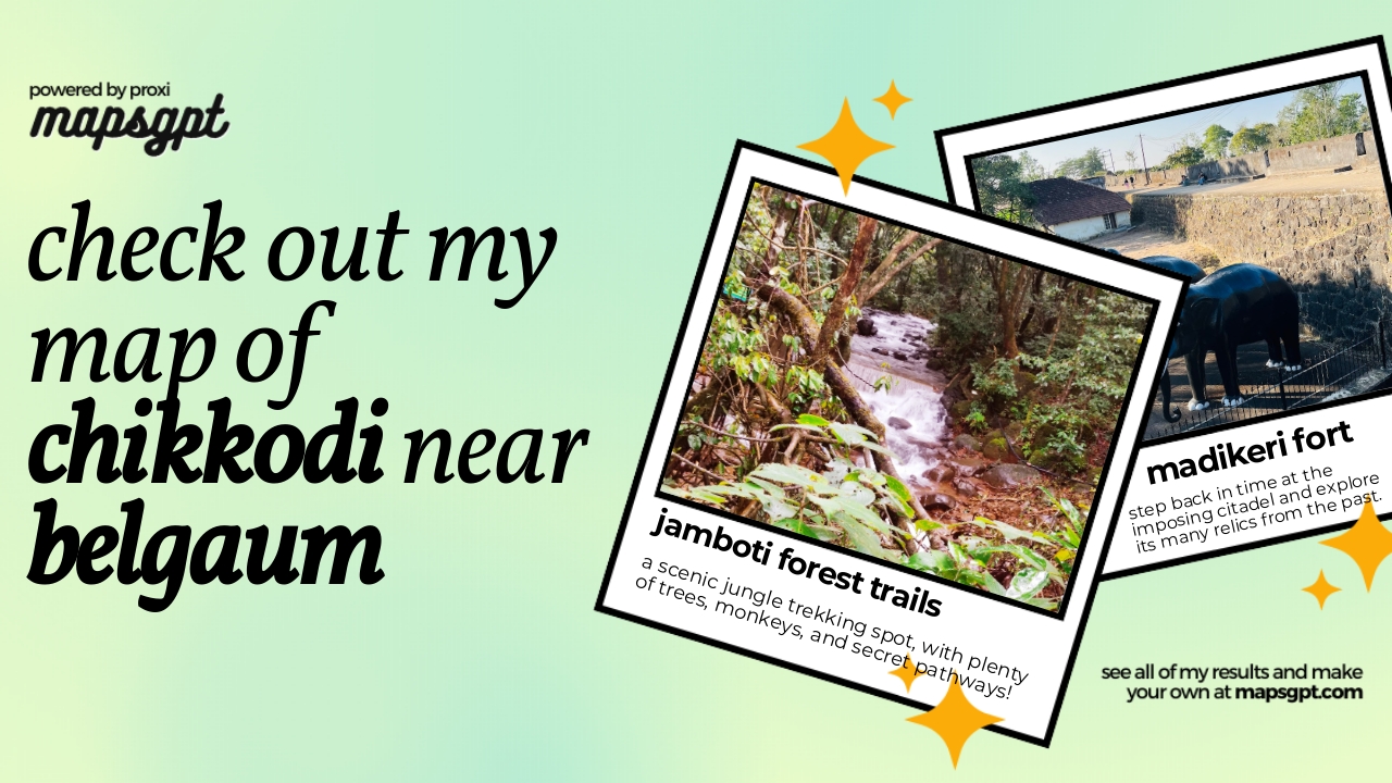 Community Map
Chikkodi near Belgaum
3 stops · Belagavi, Karnataka, IndiaShared by the Proxi community Community Map
lonely near belgaum
5 stops · Belagavi, Karnataka, IndiaShared by the Proxi communityCommunity Map
Belagavi Highlights
2 stops · 682/2, 683/2A, Udyambag, Angol, Belagavi, Karnataka 590008, IndiaShared by the Proxi community
This map was made with Proxi
Have a main street, a market, or a story worth walking? Make your own map in a few minutes.