
Map · 20 places
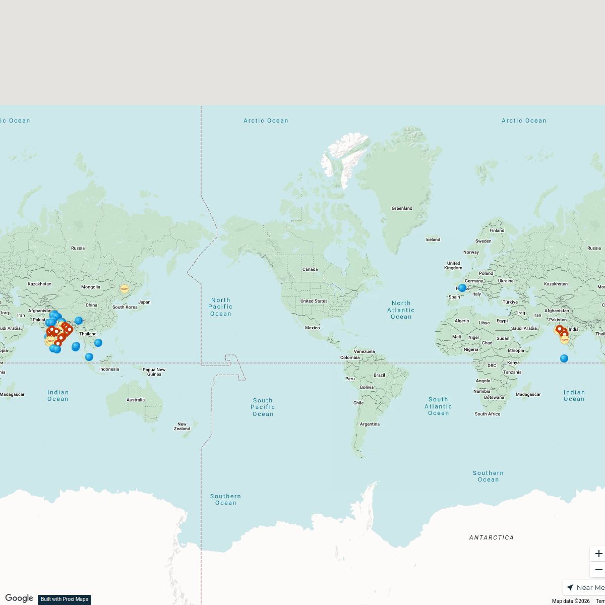
Rajanagaram Exploration Map
A detailed map focusing on the pathways and key locations within Rajanagaram, Andhra Pradesh. This map highlights essential sites, transportation routes, and community areas to facilitate exploration and navigation.
Made with ProxiUpdated Feb 2026
- Transportation 5
- Educational Institutions 4
- Healthcare Facilities 4
- Local Attractions 4
- Public Services 3
Places on This Map
20 places · 5 groupsNearby Maps
New Joiners’ Homes, Hops & Horizons
58 stops · USA, United States asianpaintsppglinkedin's Workspace
 Community Map
cocktail bars near tanuku
10 stops · Tanuku, Andhra Pradesh, IndiaShared by the Proxi communityCommunity Map
Kakinada Points of Interest
19 stops · Kakinada, Andhra Pradesh, IndiaShared by the Proxi community Community Map
italian restaurants near kakinada
6 stops · Kakinada, Andhra Pradesh, IndiaShared by the Proxi communityCommunity Map
Tadepalligudem Area Map
4 stops · Tadepalligudem, Andhra Pradesh, IndiaShared by the Proxi community Community Map
goa near tadepalligudem
9 stops · Tadepalligudem, Andhra Pradesh, IndiaShared by the Proxi community
This map was made with Proxi
Have a main street, a market, or a story worth walking? Make your own map in a few minutes.