
Map · 13 places
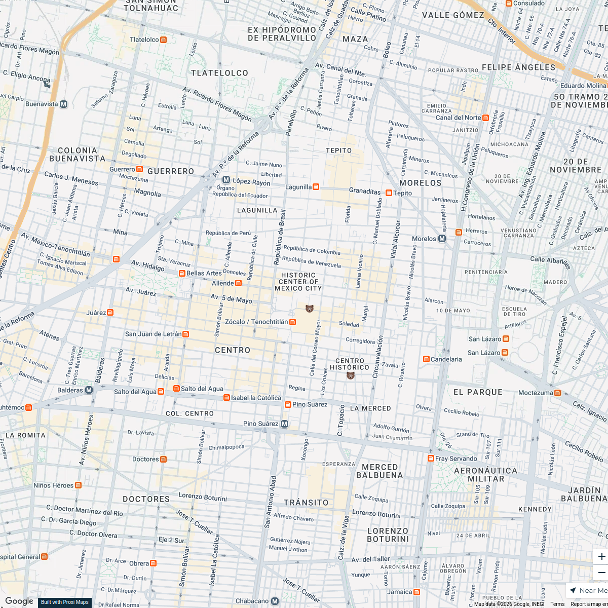
Historical Urban Nodes of the Mexican Province of the Society of Jesus
Map showing key urban nodes and articulation axes of the Jesuit Province in Mexico during the 16th and 17th centuries.
Made with ProxiUpdated Feb 2026
- Principal Urban Node 5
- Secondary Urban Node 5
- Articulating Axis 3
Places on This Map
13 places · 3 groupsNearby Maps
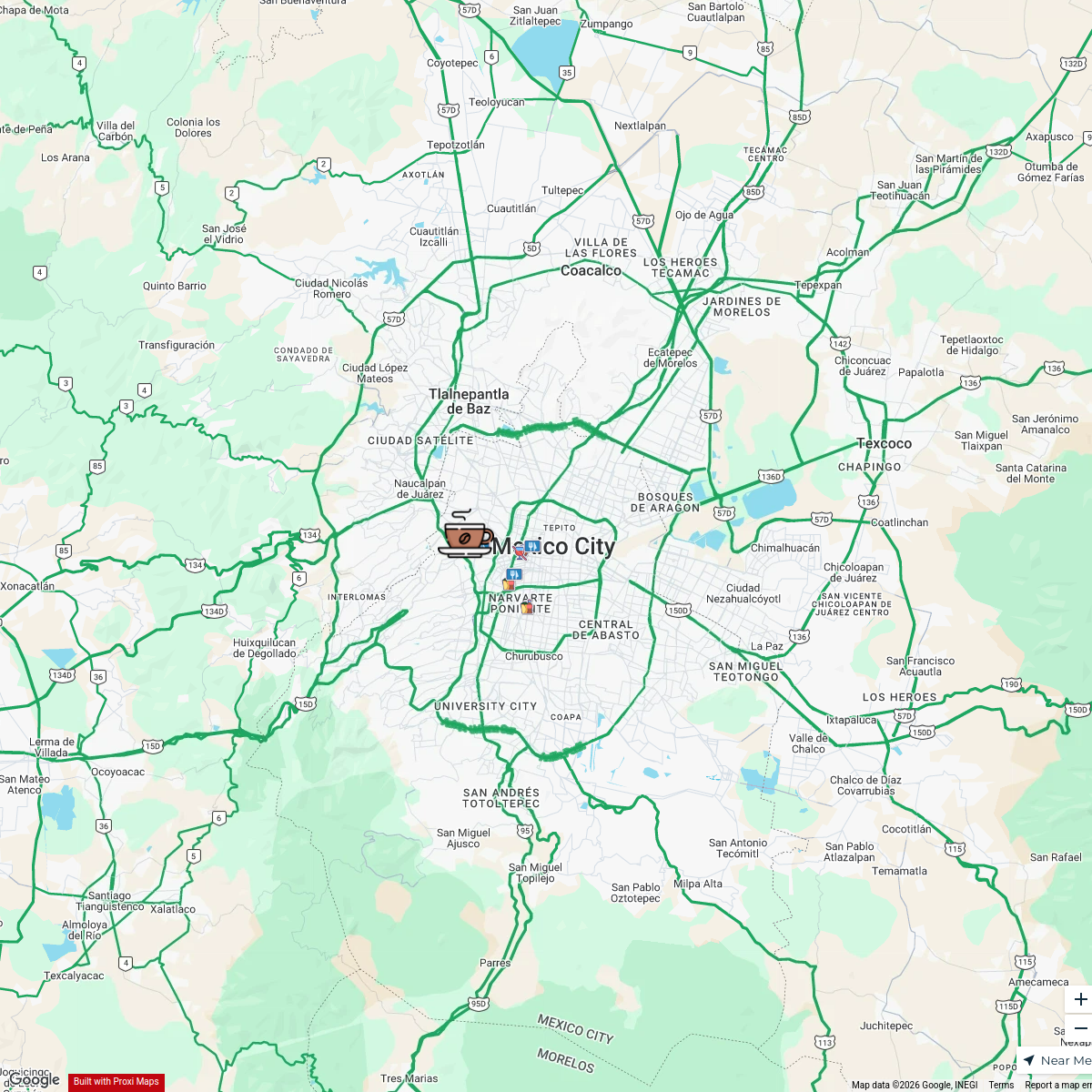
ByteDance Locations in Mexico City
18 stops swing.goh's Workspace
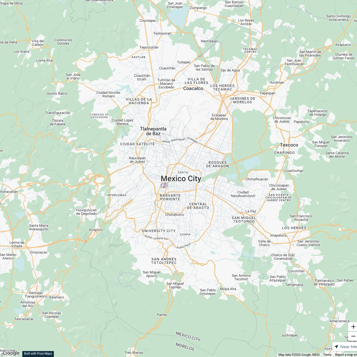
Foodies Guide to Mexico City
9 stops · Mexico City, CDMX, Mexico Foodies Guide to Mexico City
CDMX Friends Trip February 2026
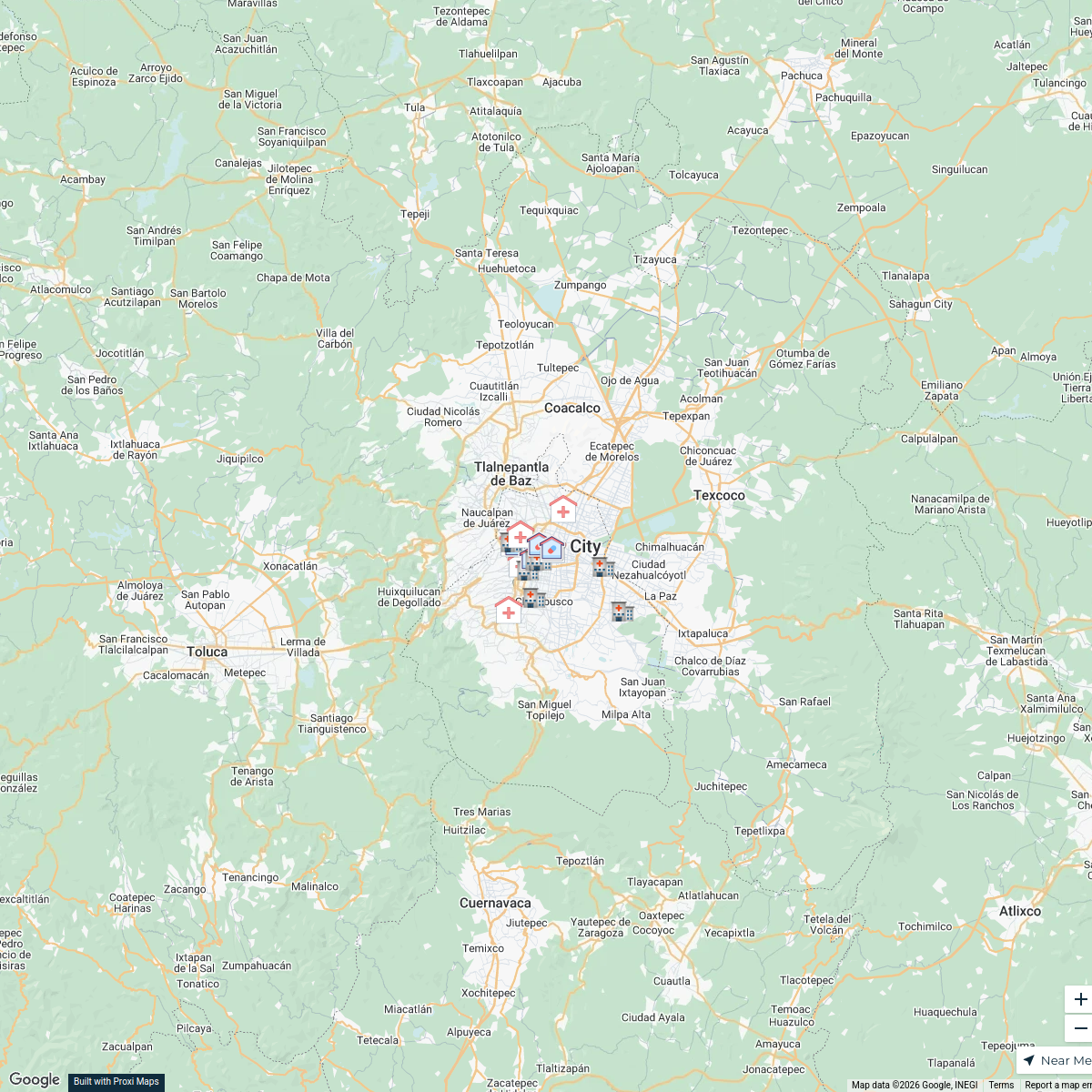
2 stops · Ciudad de México, Mexico, District fédéral, MexiquePatricia's WorkspaceMedical Facilities in Mexico City
18 stops · Mexico City, CDMX, MexicoEdmundo Penilla's Workspace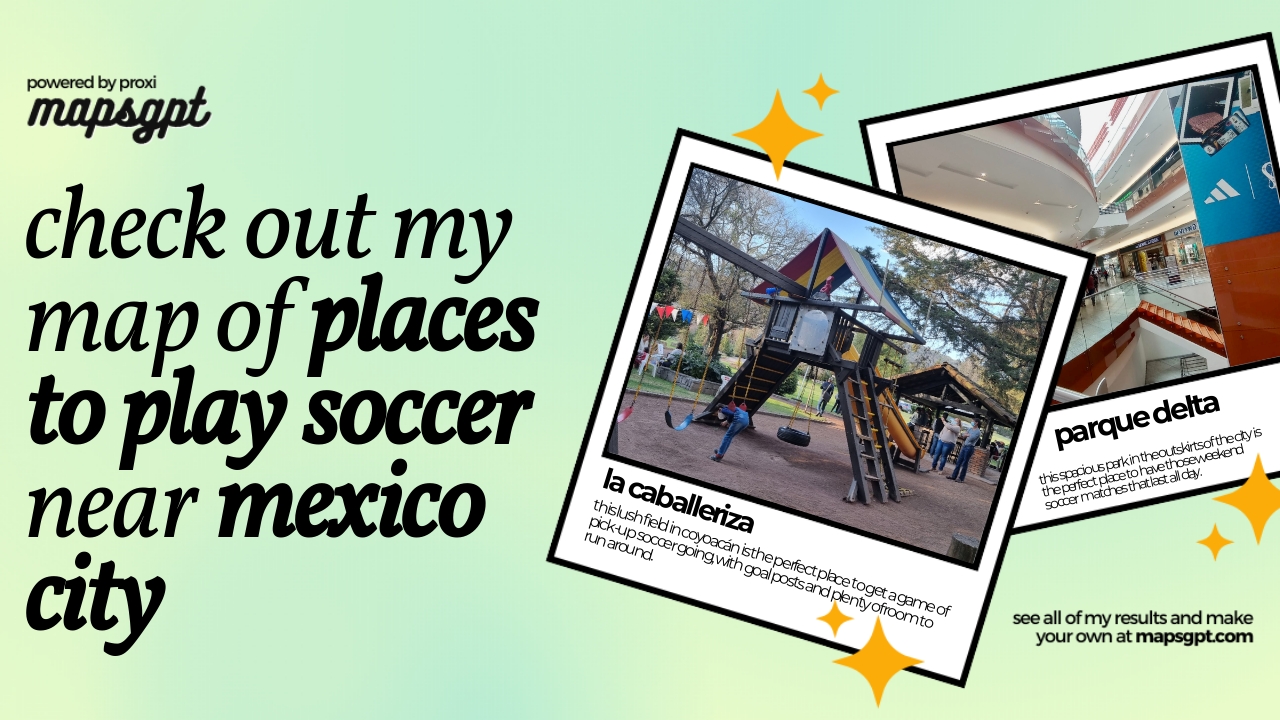
places to play soccer near mexico city
9 stops · Mexico City, CDMX, Mexico Mel's Workspace
Curatorial Spaces
12 stopsZorros Y Nahuales

This map was made with Proxi
Have a main street, a market, or a story worth walking? Make your own map in a few minutes.