
Map · 10 places · Salem, OR
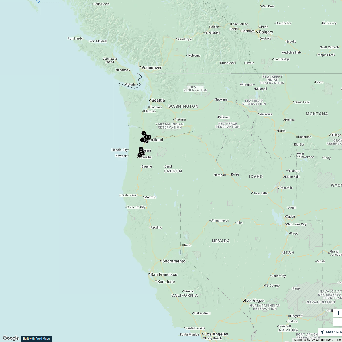
Salem-Willamette Valley Airport Flight Paths
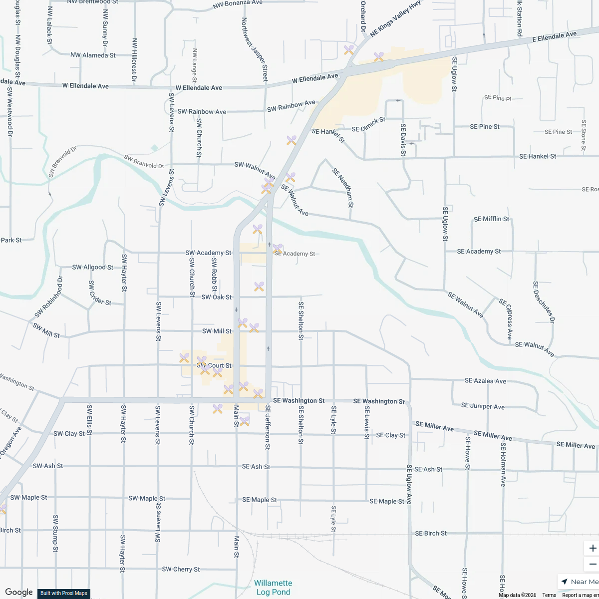
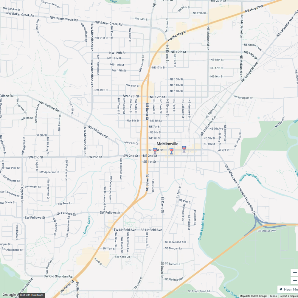
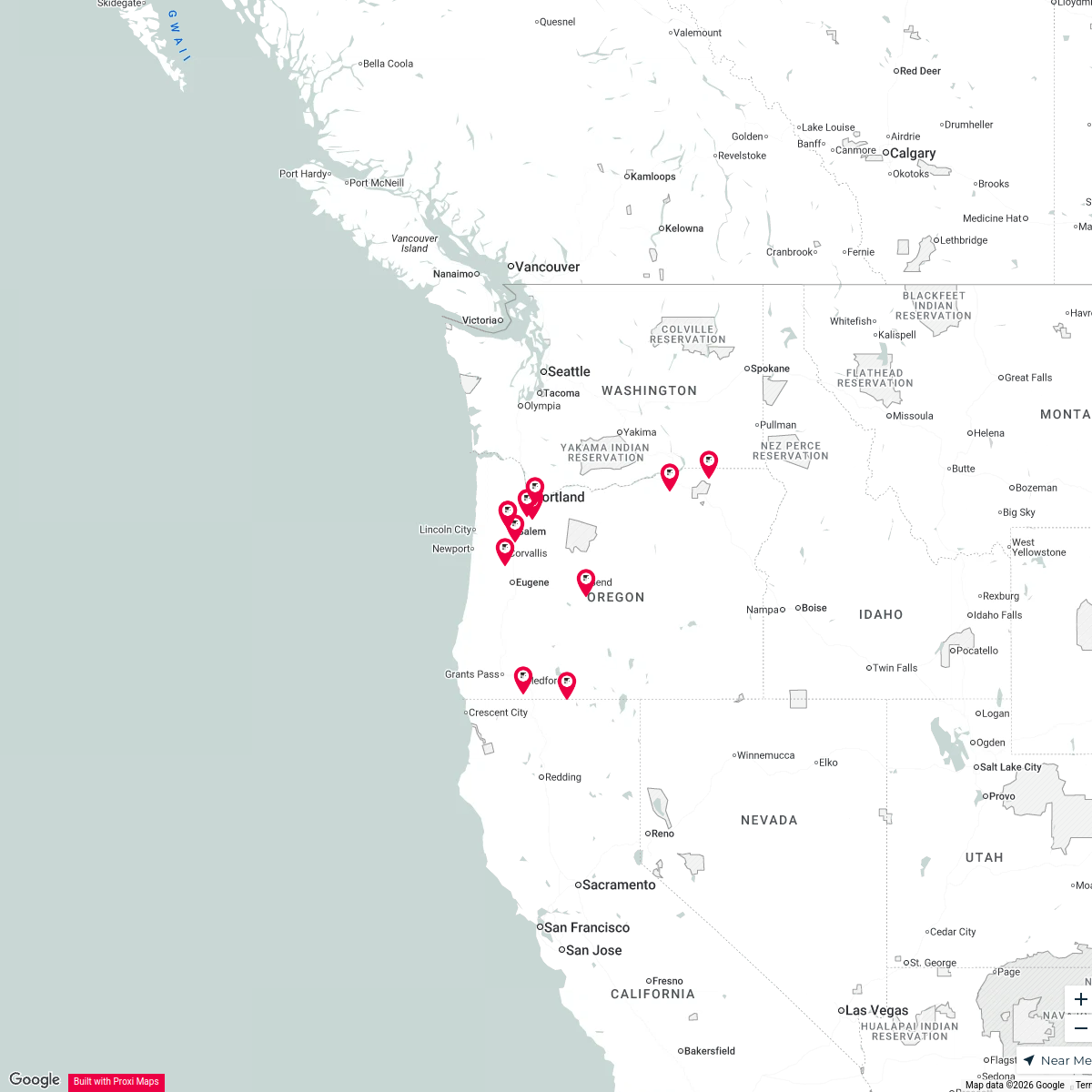
This map showcases the flight paths for Salem-Willamette Valley Airport, providing an overview of the air traffic routes and their interactions with the surrounding areas of Salem, OR, USA.
Made with ProxiUpdated Feb 2026
- Airports 8
- Flight Paths 2
Places on This Map
10 places · 2 groupsNearby Maps
Dallas Downtown Exploration
22 stops Helen Connolly's Workspace
Brian's Wine Map
205 stopsbeisenbeis's WorkspaceCommunities
13 stops shancock's Workspace
Cities of Oregon
94 stops · Oregon, USATodd Cooper's WorkspaceGwendolyn's Family in Oregon
17 stops · Oregon, USAMegan Flager's WorkspaceAdaptive Engineering (Lifts Sold)
765 stops · Calgary, AB, Canada graham.smith's Workspace

This map was made with Proxi
Have a main street, a market, or a story worth walking? Make your own map in a few minutes.