
Map · 4 places
Trinidad Fire Department - Google Maps
Map highlighting Trinidad, CO and surrounding areas.
Made with ProxiUpdated Feb 2026
- Historic Route 2
- City 1
- County 1
Places on This Map
4 places · 3 groupsNearby Maps
Free Places To Park Your RV
5499 stops · USA Andrew Swinney's Workspace
Test
1000 stops · Test Proxi
Adaptive Engineering (Lifts Sold)
765 stops · Calgary, AB, Canada graham.smith's Workspace
Community Map
Trinidad Cattle Trails Map
19 stops · Trinidad, CO 81082, USAShared by the Proxi community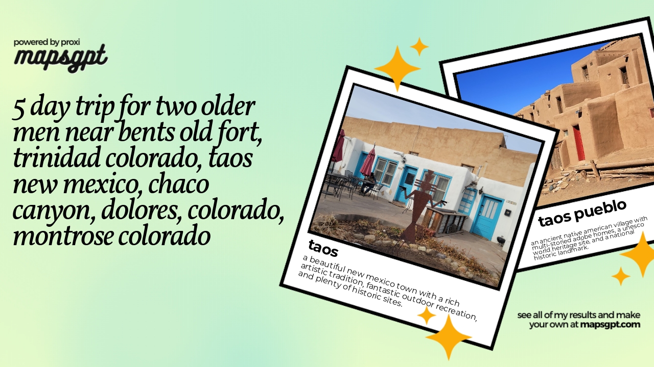 Community Map
5 day trip for two older men near Bents Old Fort, Trinidad Colorado, Taos New Mexico, Chaco Canyon, Dolores, Colorado, Montrose Colorado
14 stops · Taos, NM 87571, USAShared by the Proxi community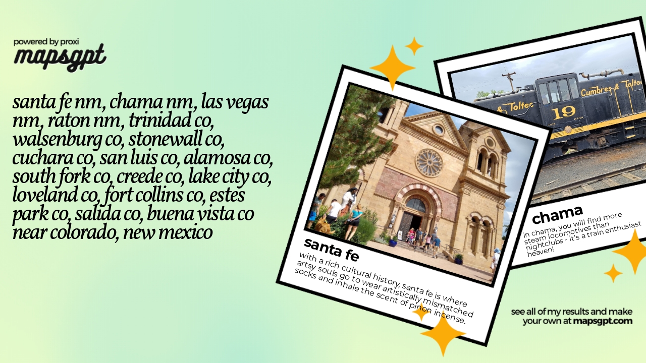 Community Map
Santa Fe NM, Chama NM, Las Vegas NM, Raton NM, Trinidad CO, Walsenburg CO, Stonewall CO, Cuchara CO, San Luis CO, Alamosa CO, South Fork CO, Creede CO, Lake City CO, Loveland CO, Fort Collins CO, Estes Park CO, Salida CO, Buena Vista CO near Colorado, new mexico
18 stops · New Mexico, USAShared by the Proxi community

This map was made with Proxi
Have a main street, a market, or a story worth walking? Make your own map in a few minutes.