
Map · 7 places
Königsberg in the 1700s
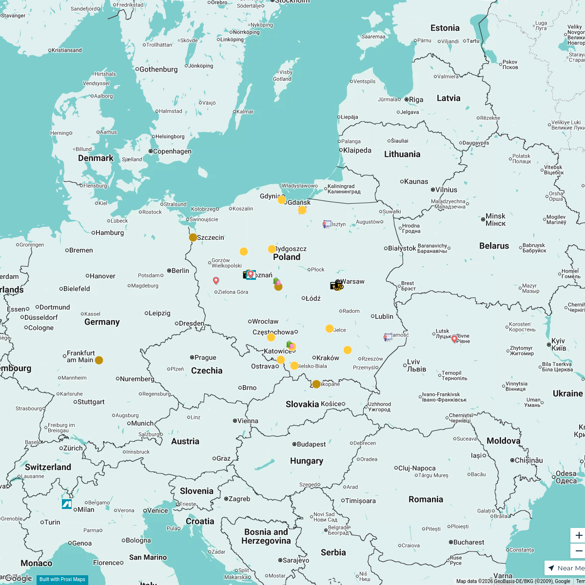
An aesthetic map highlighting the historical significance of Königsberg, Germany, in the mid-18th century, with a focus on the life and surroundings of philosopher Immanuel Kant.
Made with ProxiUpdated Feb 2026
- Historical Landmarks 4
- Architecture 2
- Cultural Sites 1
Places on This Map
7 places · 3 groupsNearby Maps
Second Hand
15 stops Ari's Workspace
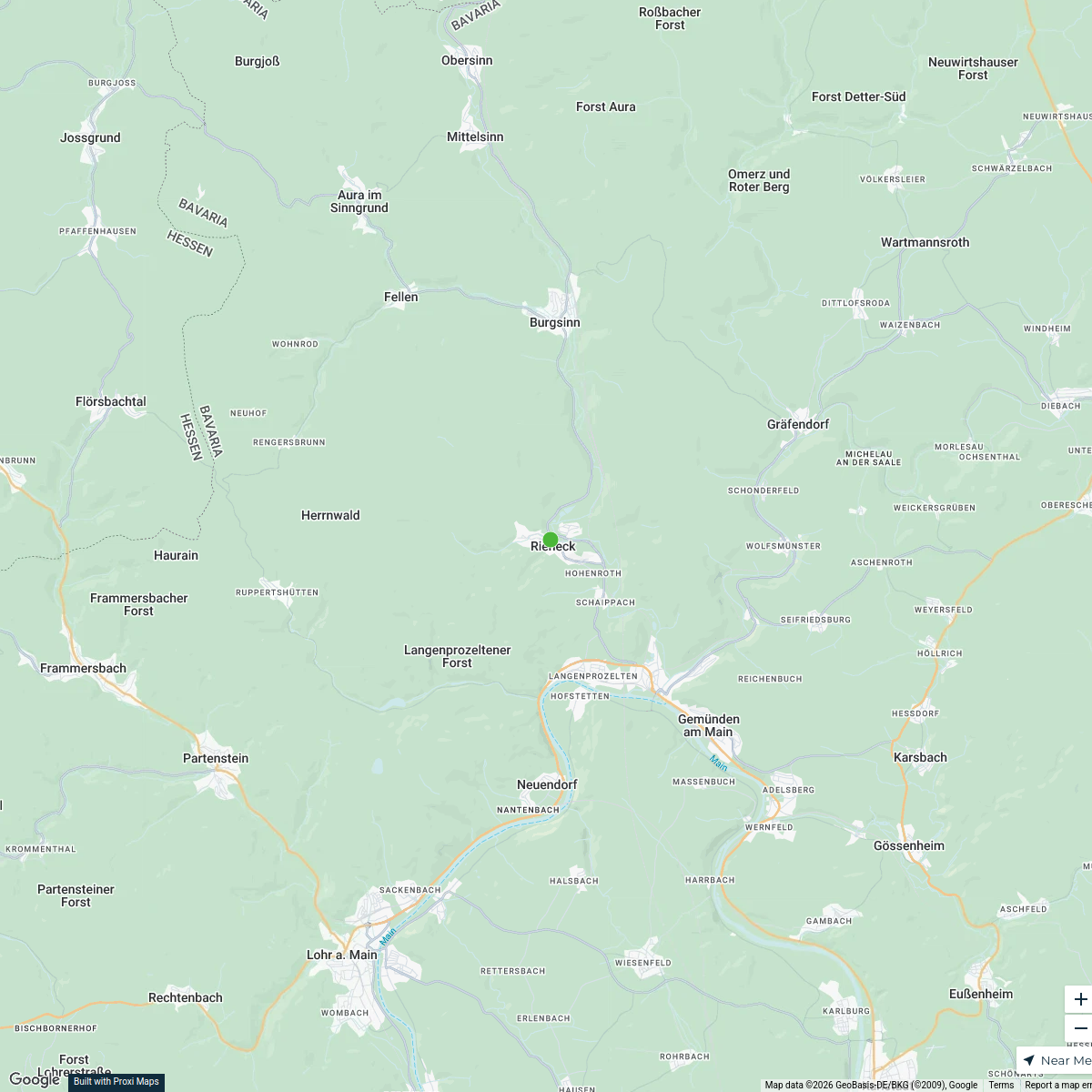
Rieneck Exploration Map
25 stops · Rieneck, 97794 Rieneck, GermanyEleanor Grieveson's WorkspaceCLU Deutschland
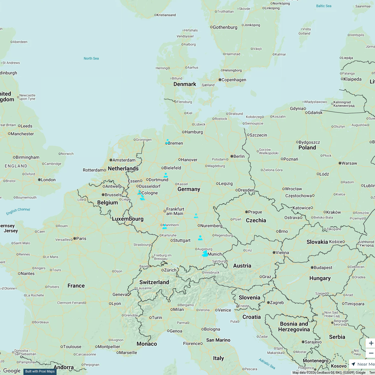
18 stops · Germania Giulia De Marco's Workspace
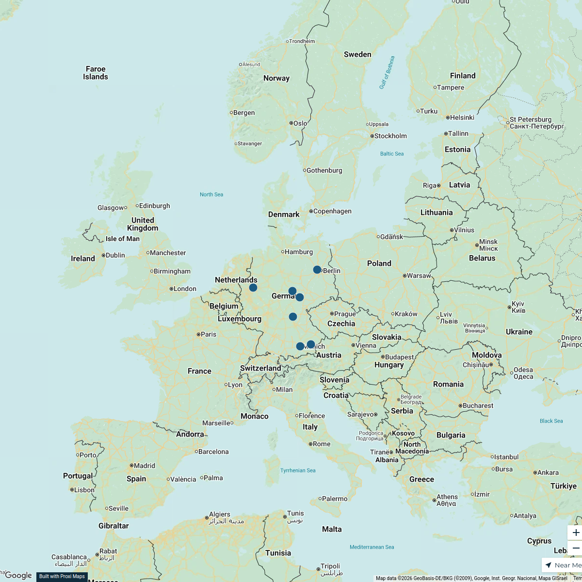
Treffen Deutschland Map
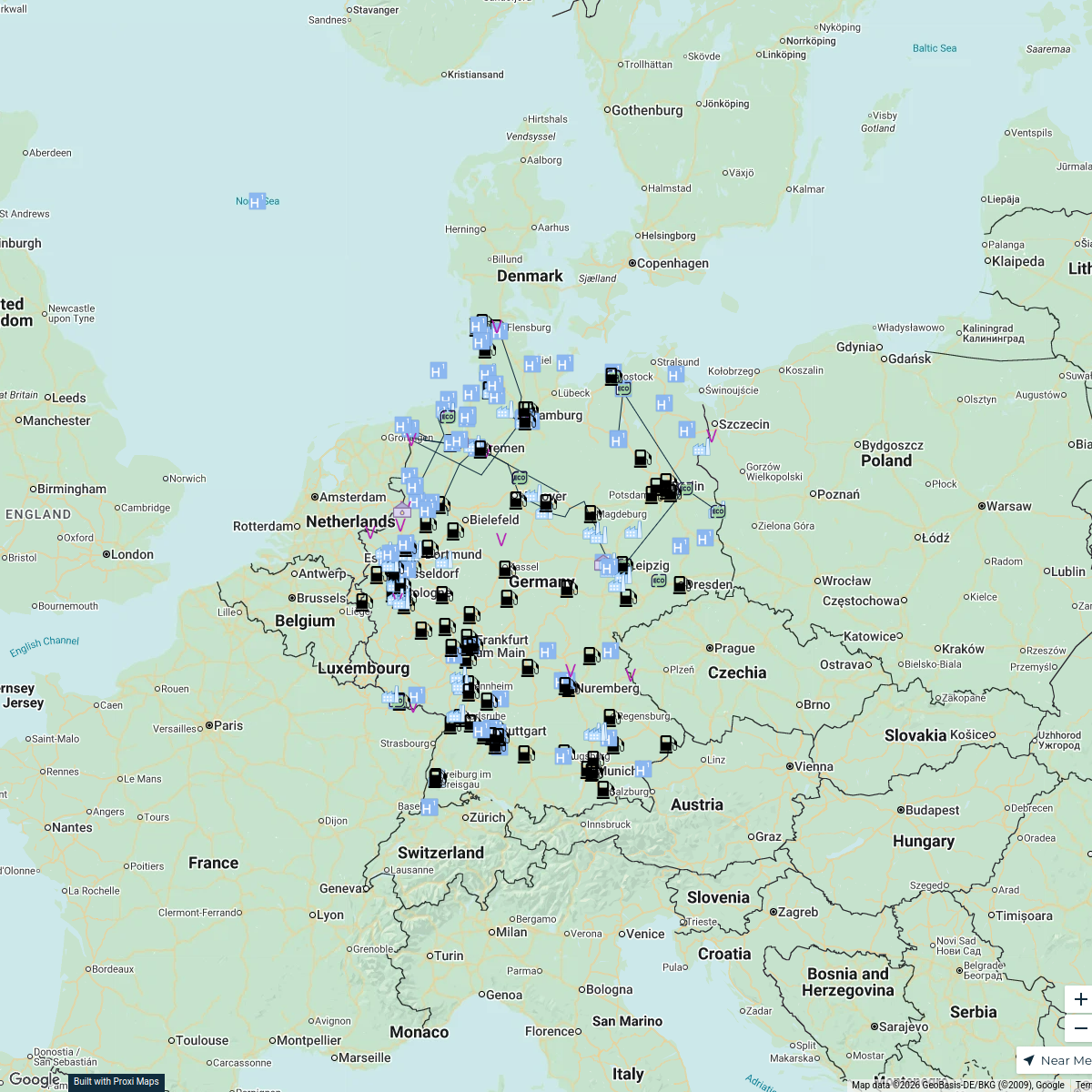
7 stopsm.gratz's WorkspaceWasserstoff Infrastruktur in DE
250 stopsnina.vogel's WorkspaceSpołeczność Anest Iwata
41 stops · PolandAnest Iwata Polska's Workspace

This map was made with Proxi
Have a main street, a market, or a story worth walking? Make your own map in a few minutes.