
Map · 15 places
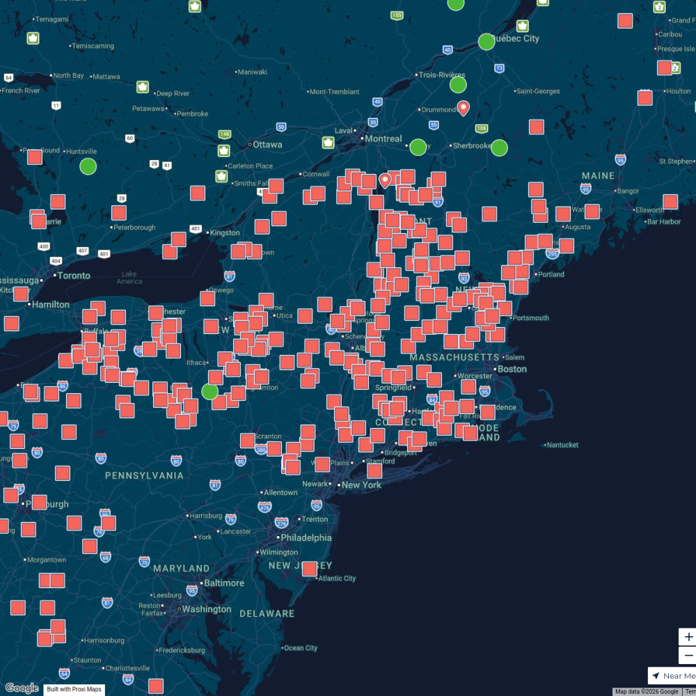
Population Density in New York State
A detailed map showcasing the population density by county across New York State, with a focus on New York City and its surrounding areas. This map highlights areas of high and low population density, allowing for a better understanding of demographic distribution.
Made with ProxiUpdated Jan 2026
- Urban Areas 8
- Census Information 3
- Geography 3
- County Data 1
Places on This Map
15 places · 4 groupsNearby Maps
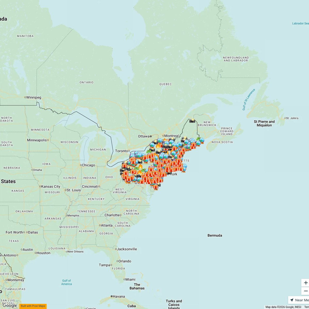
Weird & Wonderful Map
547 stops Travel Like Jess
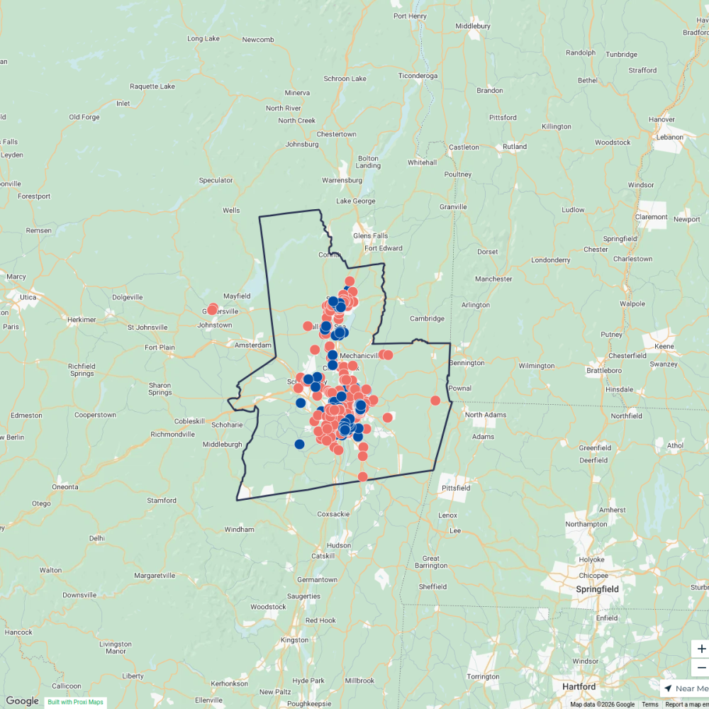
Capital Region Vision Zero
493 stops liz's Workspace
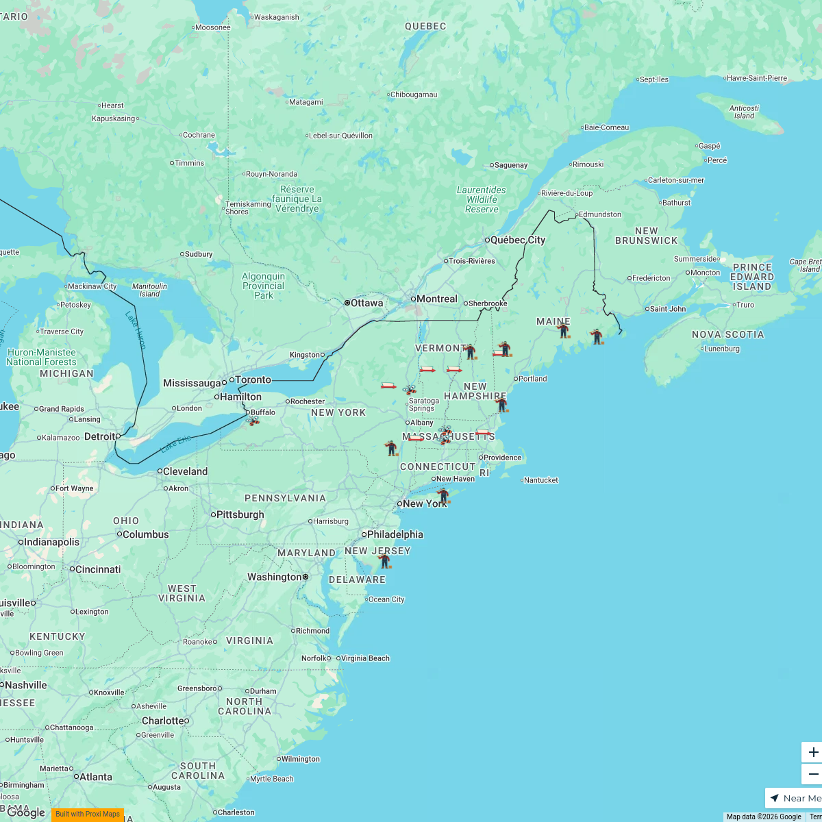
Weird Road Trip Stops for Families
18 stopsTravel Like JessUnique Places to Stay Map
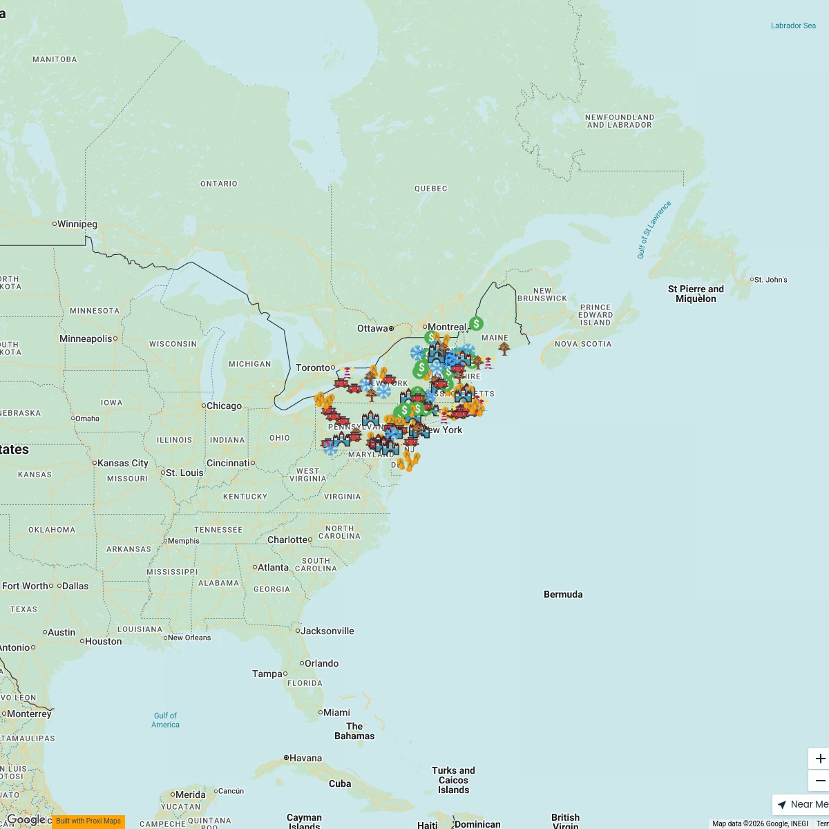
138 stopsTravel Like JessMaple Map / Carte des sucres
441 stops · Albany, NY, USA StoryWorkz Creative's Workspace
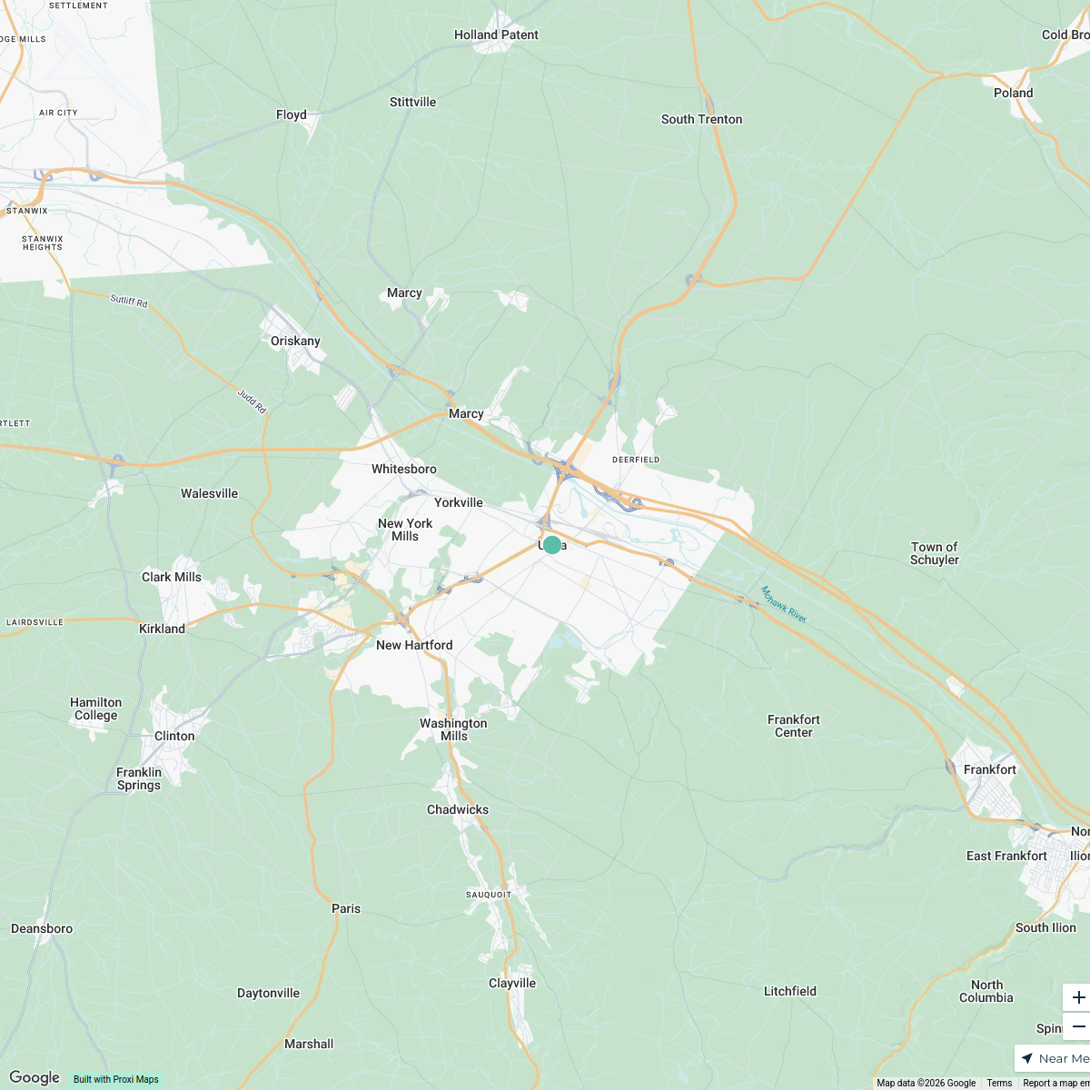
Utica Area Map
3 stops · Utica, NY, USA Benjamin Luebbe's Workspace
This map was made with Proxi
Have a main street, a market, or a story worth walking? Make your own map in a few minutes.