
Map · 18 places · Corona, CA
Parks in Corona, CA
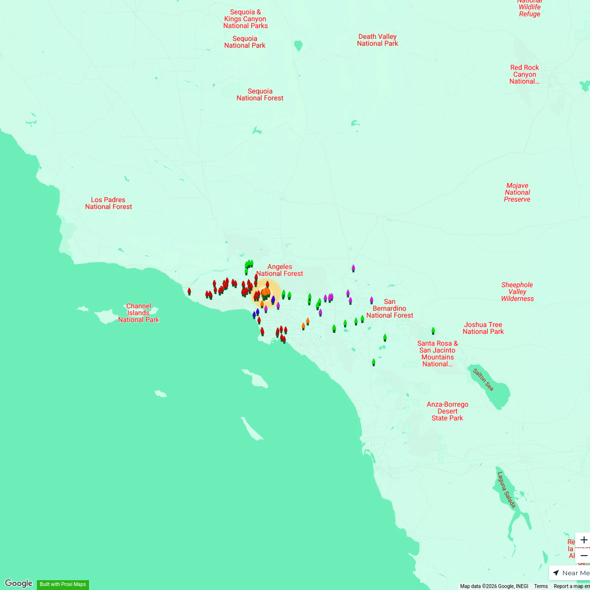
A detailed map showcasing the various parks located in and around Corona, California. This map highlights recreational areas, picnic spots, walking trails, and playgrounds, making it a valuable resource for residents and visitors looking to enjoy outdoor activities.
Made with ProxiUpdated Jan 2026
- Parks 9
- Sports Facilities 3
- Walking Trails 3
- Water Features 2
- Playgrounds 1
Places on This Map
18 places · 5 groupsNearby Maps
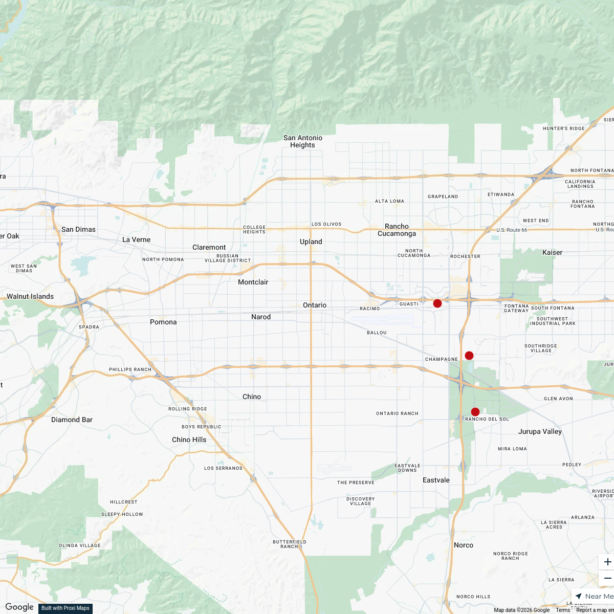
Ontario Office Buildings Map
12 stops · Ontario, CA, USA dhuffman's Workspace

Orange Chamber Restaurant Week
13 stops Orange Chamber
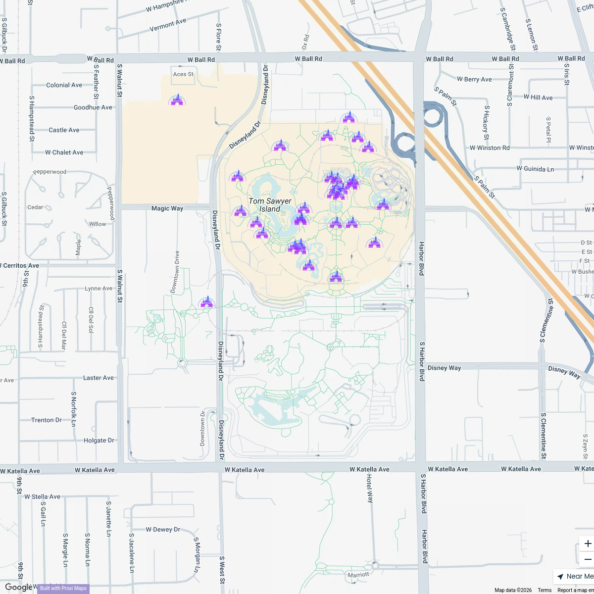
Disneyland Rides
32 stops Chelsey's Proxi Workspace
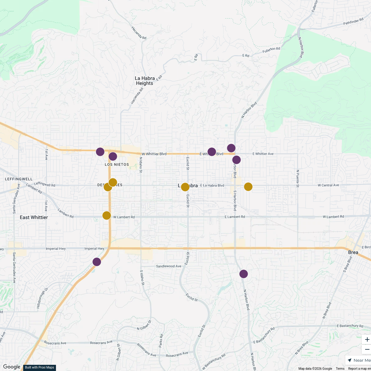
La Habra Points of Interest
19 stops · La Habra, CA 90631, USA Brittany Ellis's Workspace
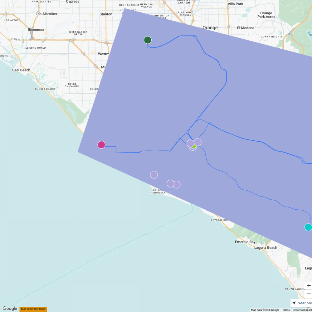
Morpheus8 in Newport Beach
26 stopsErika Watkins's WorkspaceHolidays in SoCal Lights Map
156 stopsholidaysinburbankmap's Workspace
This map was made with Proxi
Have a main street, a market, or a story worth walking? Make your own map in a few minutes.