
Map · 14 places
Philippines Hazard Map
A detailed hazard map of the Philippines highlighting areas prone to various natural disasters such as earthquakes, typhoons, floods, and volcanic eruptions. This map is essential for disaster preparedness and risk assessment.
Made with ProxiUpdated Jan 2026
- Emergency Shelters 4
- Disaster Response Centers 3
- Earthquake Zones 2
- Typhoon Risk Zones 2
- Volcanic Eruption Sites 2
- Flood Prone Areas 1
Places on This Map
14 places · 6 groupsNearby Maps
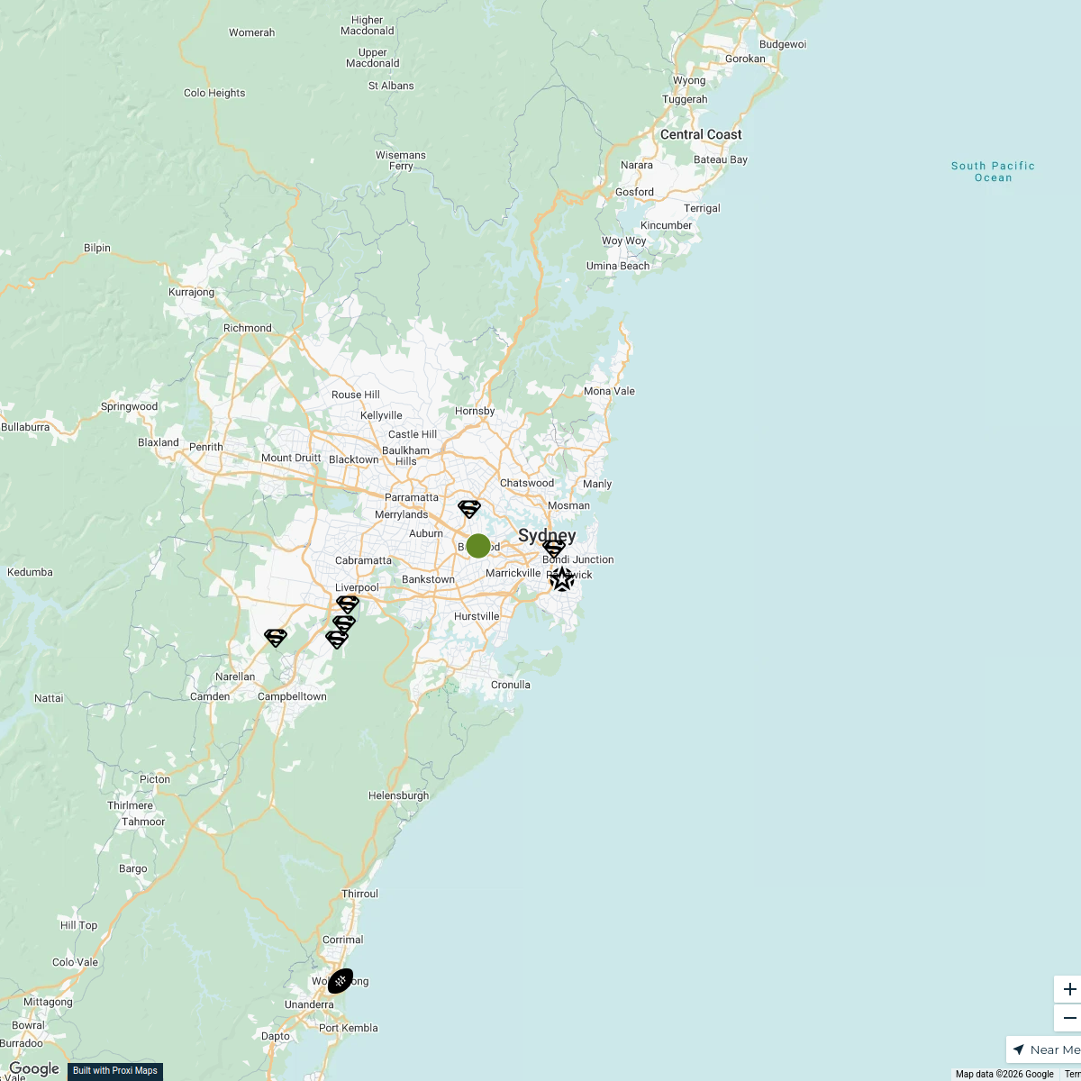
Sydney Explorer
127 stops · Sydney NSW, Australia bhidetejas03's Workspace
WORLD MAP EXPLORATION
55 stops · Melbourne VIC, Australiaitem0001's WorkspaceTourist Attractions in France
328 stops anders.winroth's Workspace
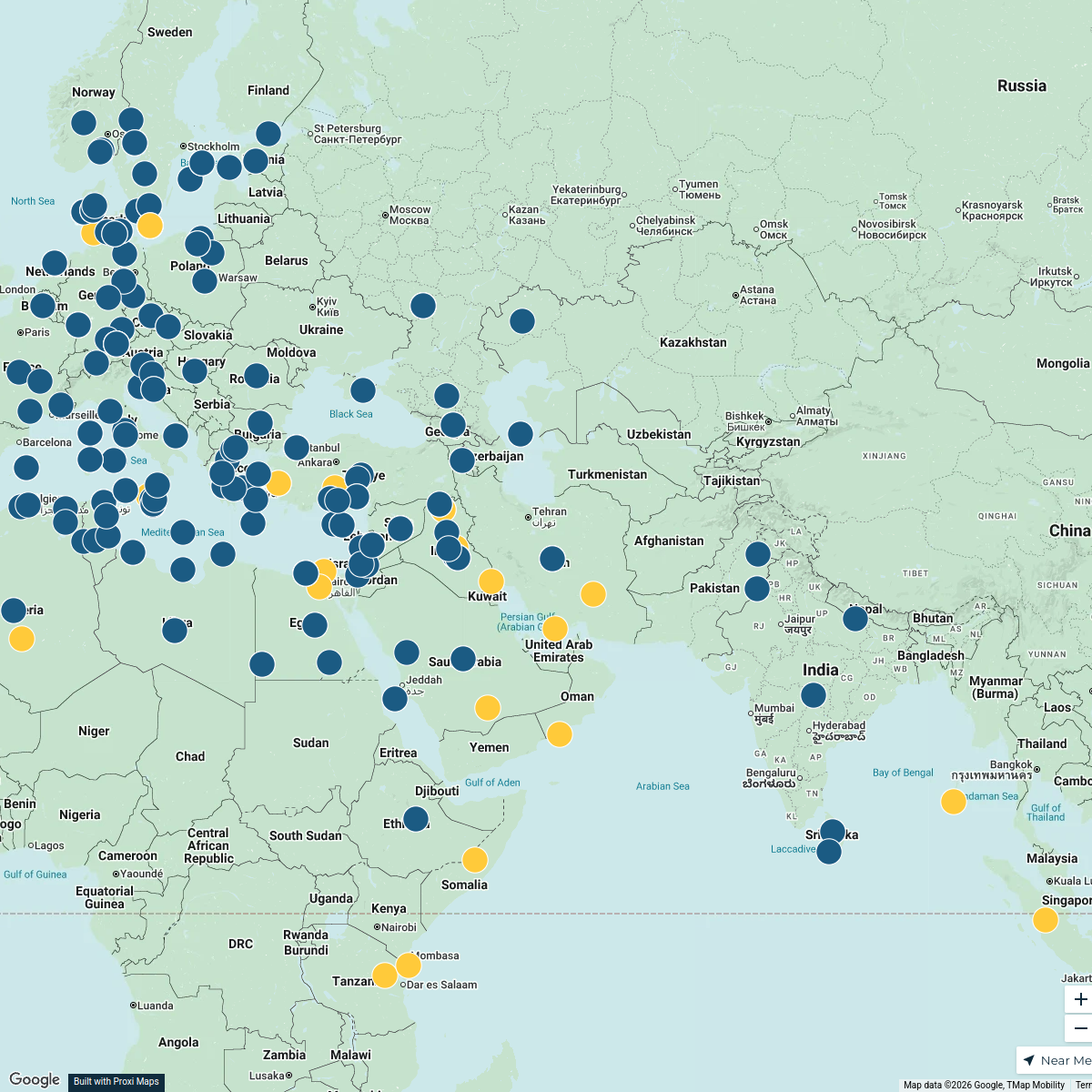
SB Server Map
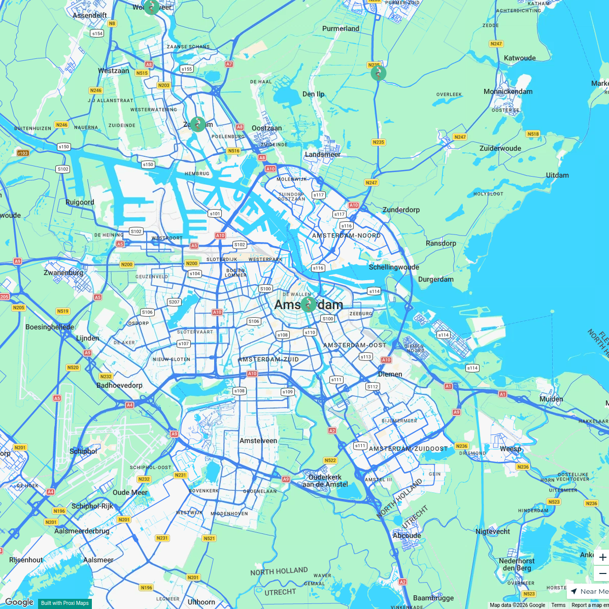
22 stops · Europeterminastation's WorkspaceMSD Haarlem worldmap
108 stops · Amsterdam, Netherlandswilmar.tigchelaar's WorkspaceTravel Bucket List
122 stops · Monaco Lea Di Giovanni · @leastraveldiaries


This map was made with Proxi
Have a main street, a market, or a story worth walking? Make your own map in a few minutes.