
Map · 16 places
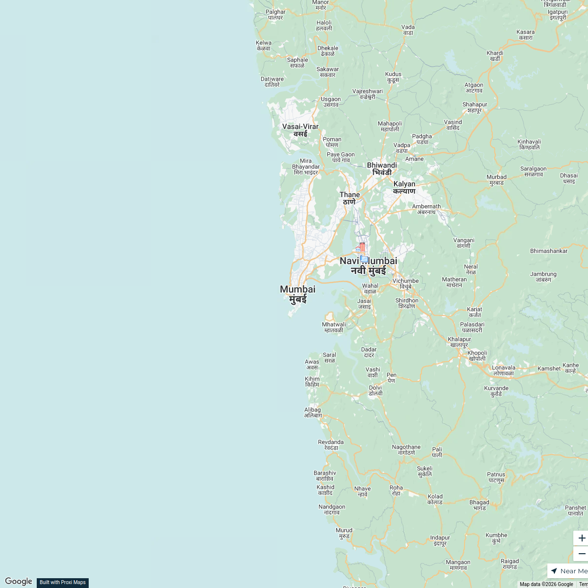
Transportation Accessibility in Jogeshwari West
A detailed map showcasing the accessibility to rail, road, and airport transport options in and around Jogeshwari West, Mumbai, Maharashtra. This map highlights key transportation hubs, routes, and accessibility points for ease of navigation and travel planning.
Made with ProxiUpdated Jan 2026
- Public Transport Stops 7
- Airport Locations 3
- Parking Facilities 2
- Rail Transport 2
- Road Access 1
- Travel Routes 1
Places on This Map
16 places · 6 groupsNearby Maps
Real Estate Developments in Mumbai
2 stops · Mumbai, Maharashtra, India Saurav Mehta's Workspace
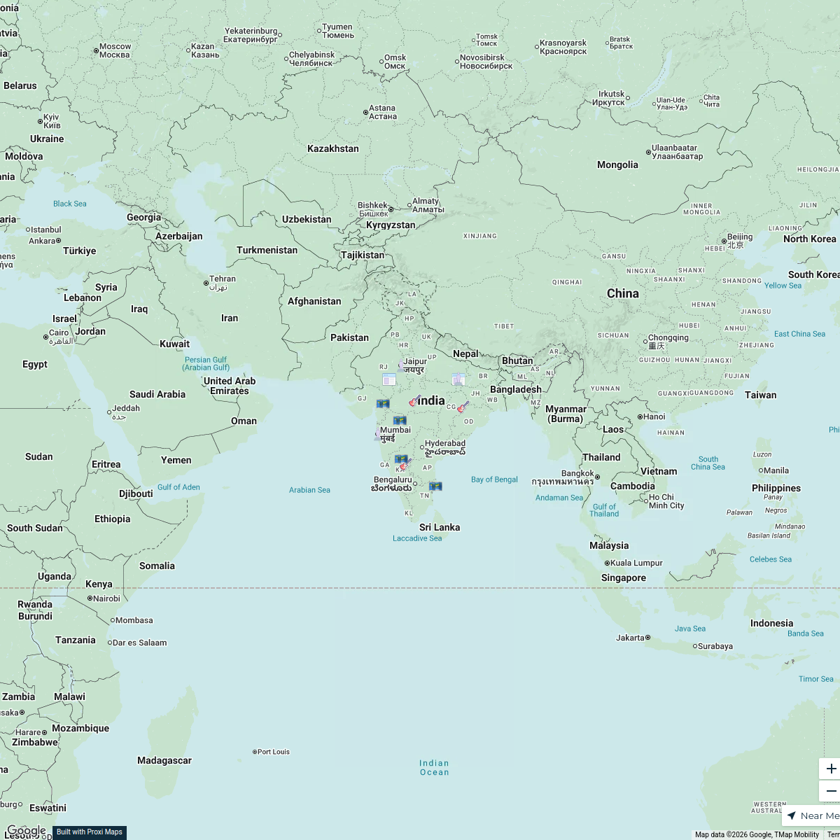
Prehistoric Sites in India
16 stops · India B_2_B Artistry's Workspace
Pin Your Heart
425 stops · Europe Voluson Performance

Beer Passport Map
357 stops Lekker Passport
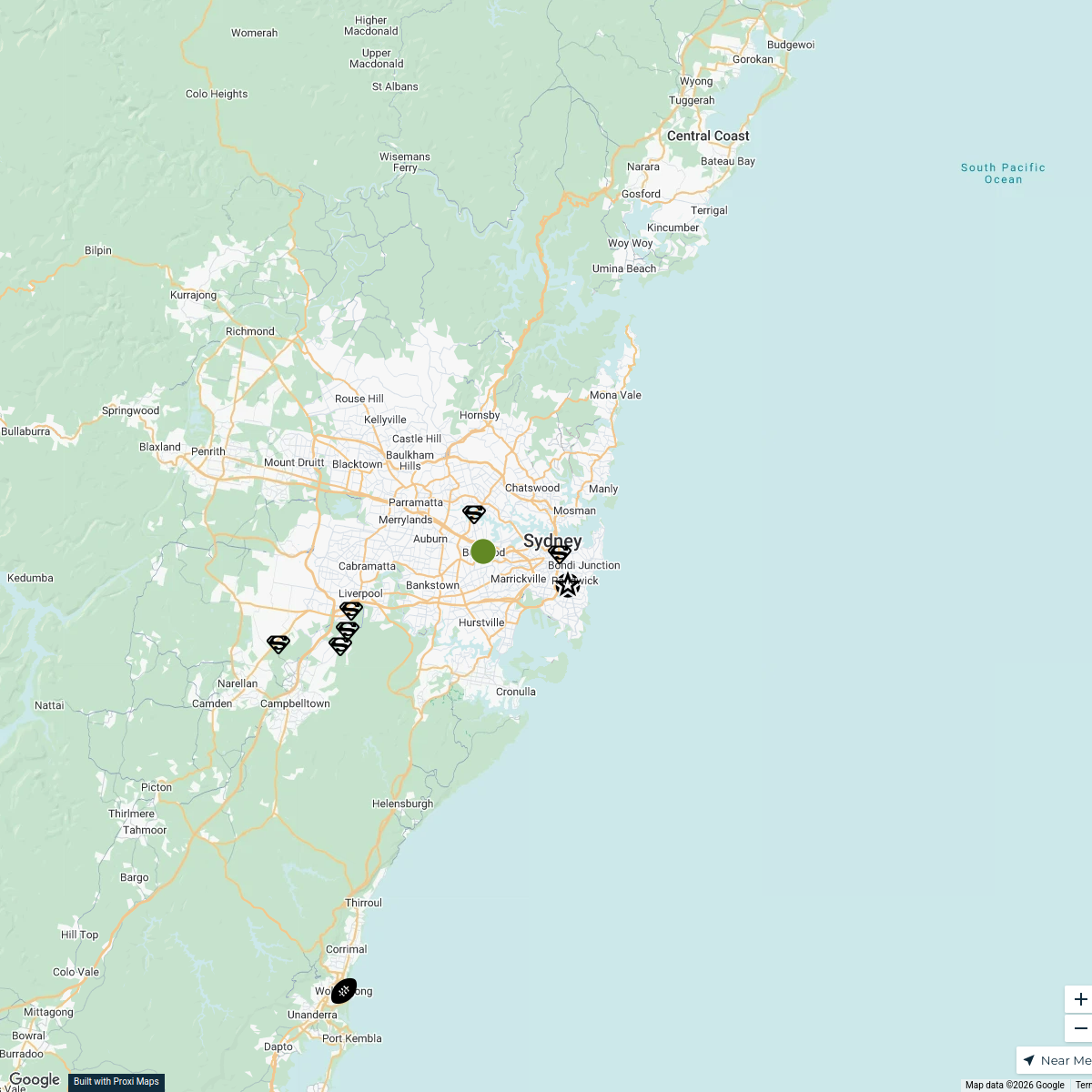
Sydney Explorer
127 stops · Sydney NSW, Australiabhidetejas03's WorkspaceFind our beer
424 stops · Penticton, BC, Canadascott's Workspace

This map was made with Proxi
Have a main street, a market, or a story worth walking? Make your own map in a few minutes.