
Map · 15 places
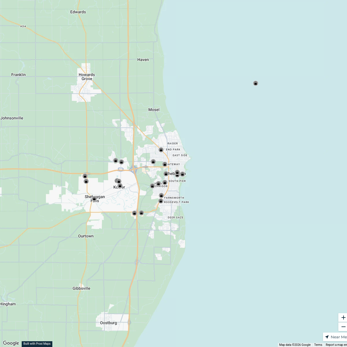
Wisconsin State Map Highlighting Sheboygan Falls and Major Highways
This map shows the location of Sheboygan Falls, WI, alongside the key highways 33, 21, 39, and 51 that facilitate travel in the area.
Made with ProxiUpdated Dec 2025
- Community 3
- Food & Drink 3
- Museum 3
- Park 3
- Recreation 3
Places on This Map
15 places · 5 groupsNearby Maps
7 Foodie-Recommended Restaurants in Sheboygan, WI - Livability.com
28 stops · Sheboygan, WI, USA Chelsey's Proxi Workspace
Appleton Wisconsin
31 stops · Appleton, WI, USA Details By Bill Travel LLC's Workspace
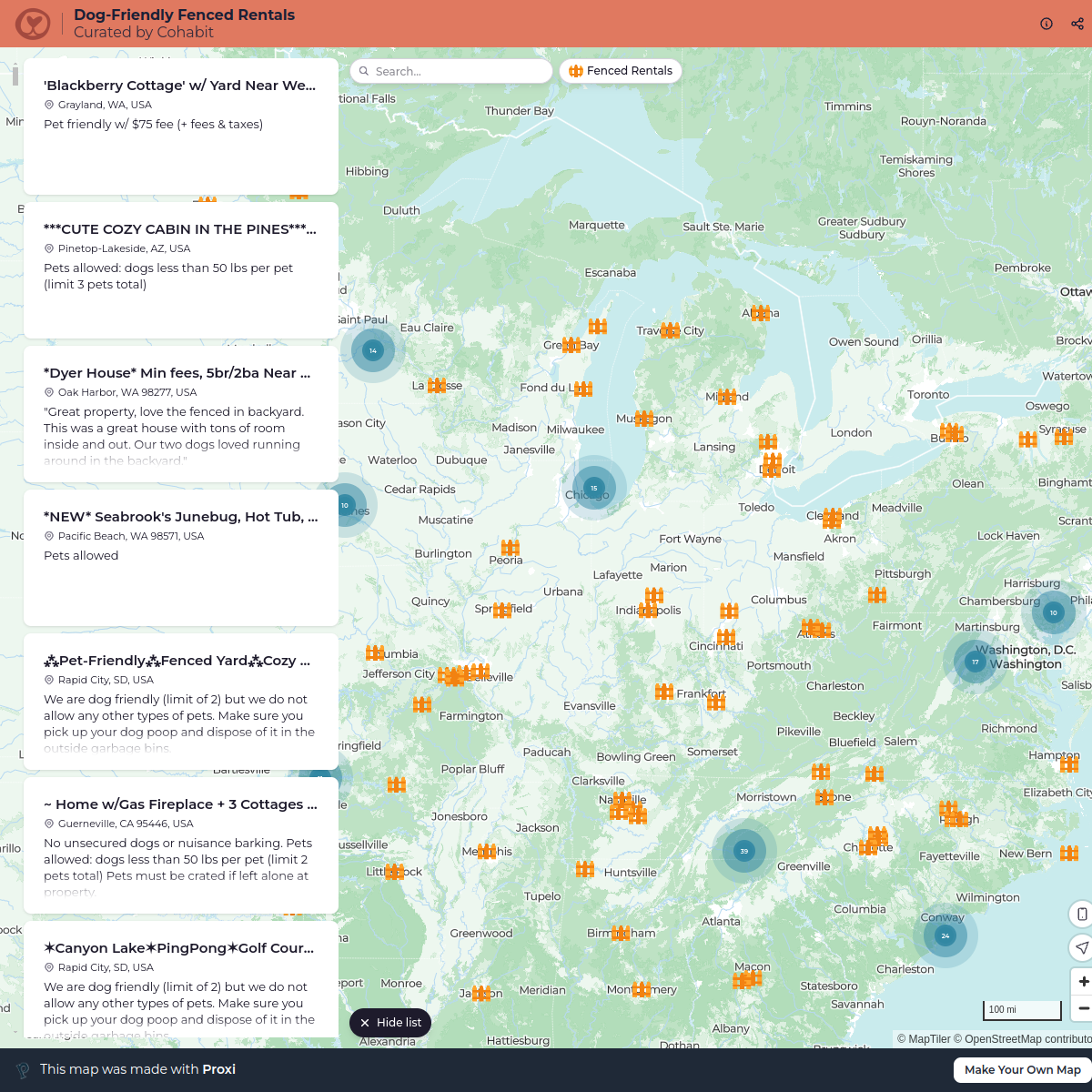
Dog-Friendly Fenced Rentals
792 stops cohabit
Test
1000 stops · Test Proxi
Unity Blaze Certified Partners
429 stops darryl's Workspace
Muha Meds Hemp Distribution Map
266 stops · default_map_centerAngela Bryan's Workspace


This map was made with Proxi
Have a main street, a market, or a story worth walking? Make your own map in a few minutes.