
Map · 6 places
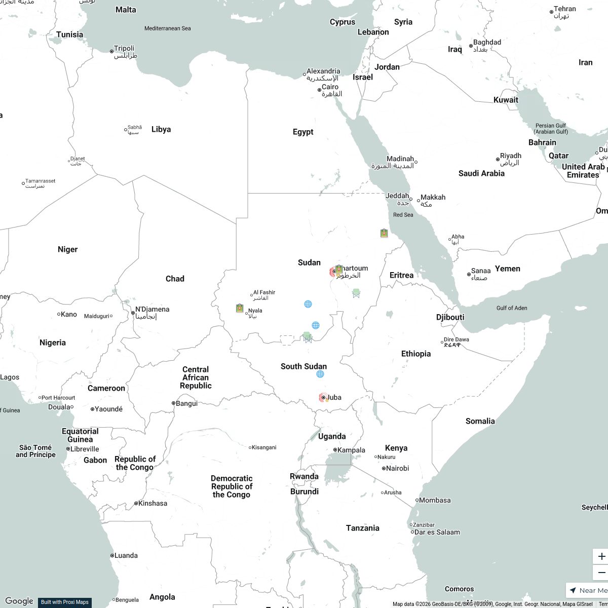
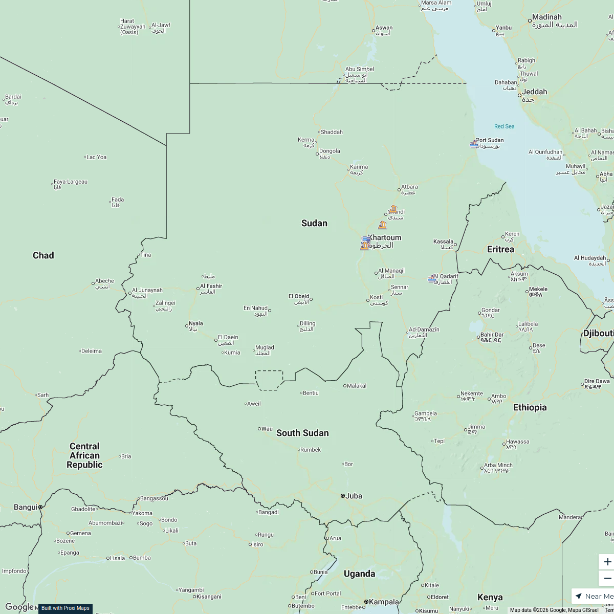
NDVI Map of Khartoum, Sudan
This map showcases the Normalized Difference Vegetation Index (NDVI) for the Khartoum region, providing insights into vegetation health and land cover. It aims to support environmental studies and urban planning efforts in the city.
Made with ProxiUpdated Dec 2025
- Environmental Studies 3
- Urban Planning 2
- Vegetation Health 1
Places on This Map
6 places · 3 groupsNearby Maps
Sudan Conflict Map
18 stops · Sudan thomasodon2601's Workspace
Displaced Sudanese Communities: A Journey Through Time
13 stops · SudanRifal Imam's WorkspaceCommunity Map
Khartoum Industrial Insights
9 stops · Khartoum, SudanShared by the Proxi communityCommunity Map
Khartoum Local Hotspots
8 stops · Khartoum, SudanShared by the Proxi communityCommunity Map
Khartoum Attractions Tour
10 stops · Khartoum, SudanShared by the Proxi communityCommunity Map
January 2025 Security Events in Khartoum
10 stops · Khartoum, SudanShared by the Proxi community
This map was made with Proxi
Have a main street, a market, or a story worth walking? Make your own map in a few minutes.