
Map · 17 places · Huntsville, AL
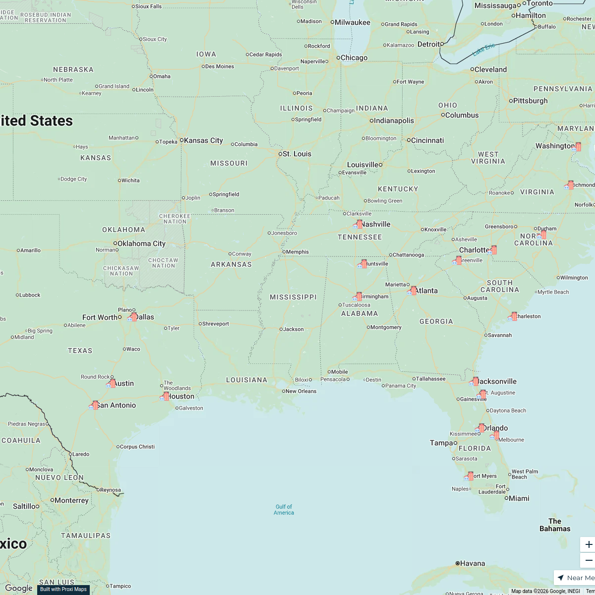
Huntsville Neighborhood Map
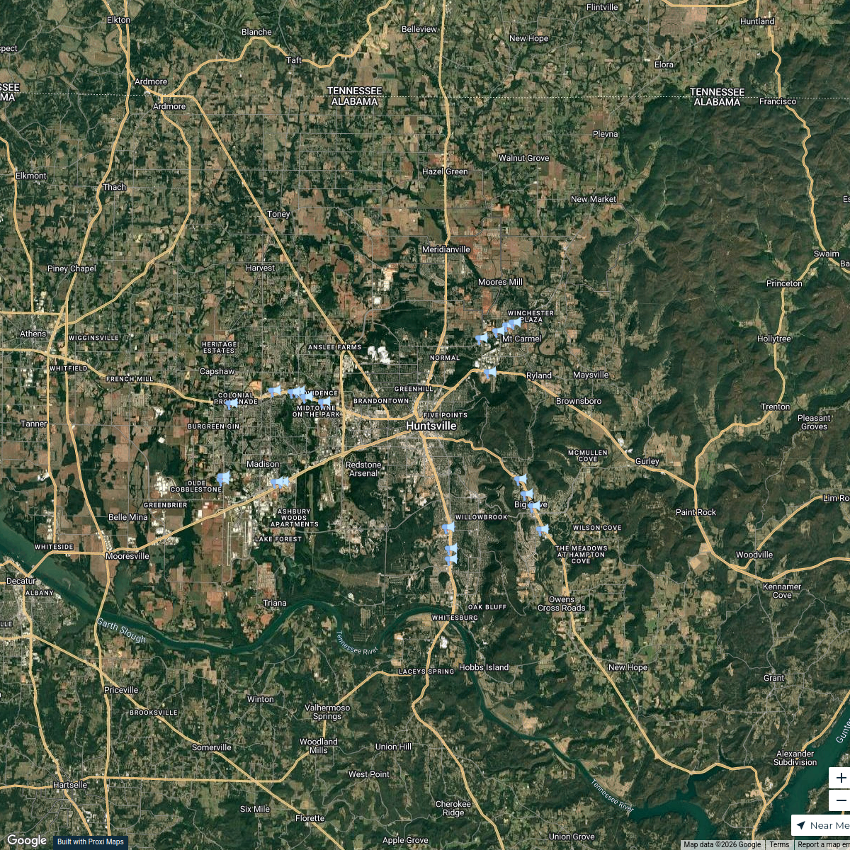
A detailed map centered around 4010 Telstar Circle in Huntsville, AL, showcasing local amenities, parks, and points of interest in the surrounding area.
Made with ProxiUpdated Dec 2025
- Parks and Recreation 9
- Entertainment 4
- Shopping Centers 2
- Restaurants 1
Places on This Map
17 places · 4 groupsNearby Maps
Tim Magee Land Map
24 stops · Huntsville, AL, USA anusha's Workspace
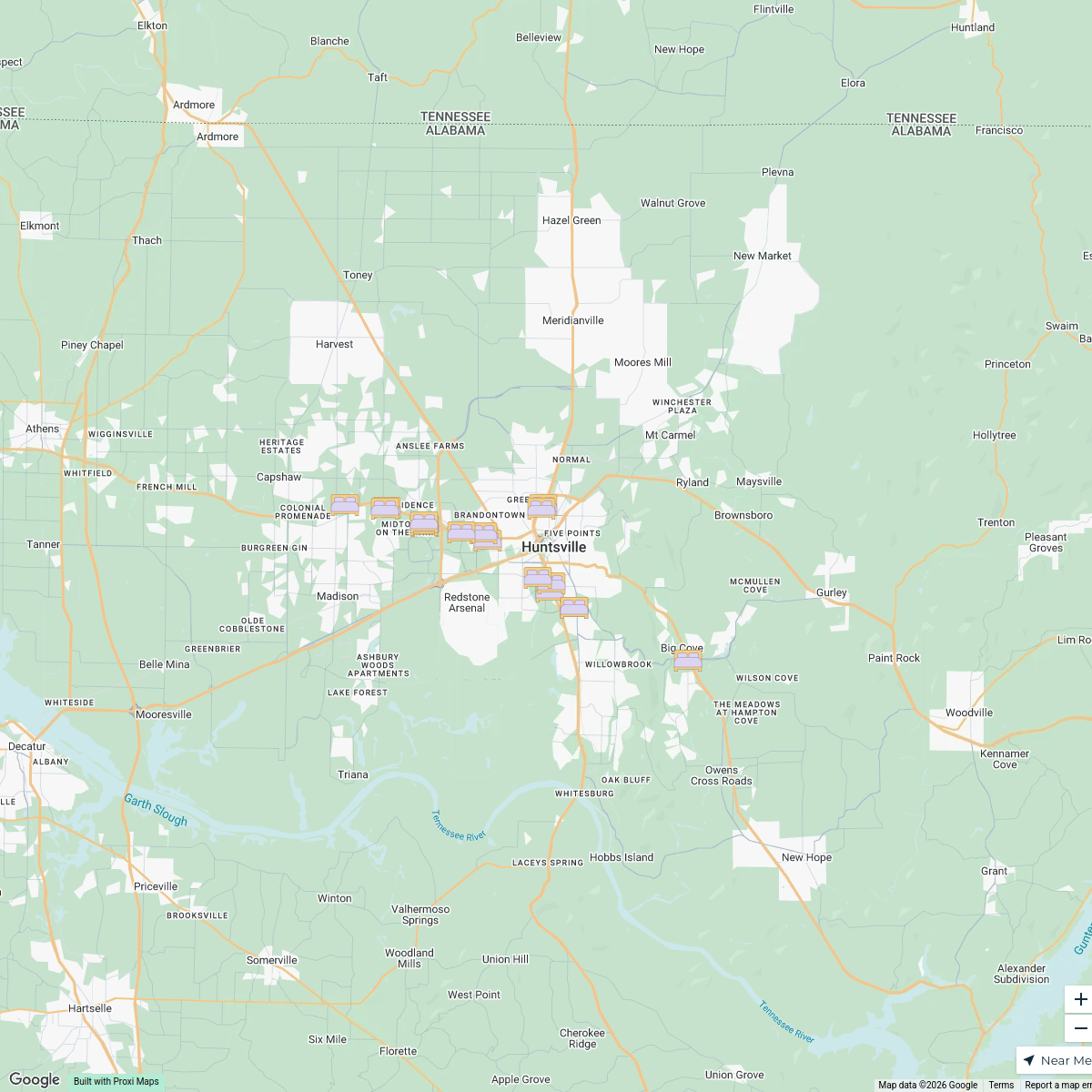
Mattress Stores in Huntsville/Madis
18 stops · Huntsville, AL, USAanusha's WorkspaceSpitz Locations
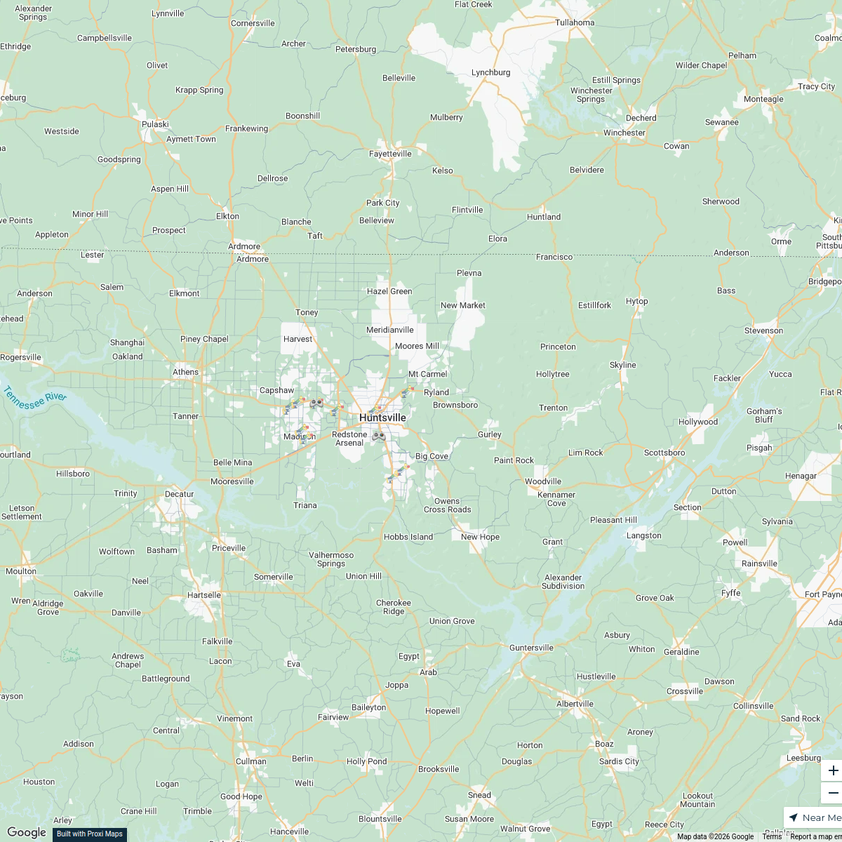
20 stops · Huntsville, AL, USAanusha's WorkspaceGyms in Madison County, AL
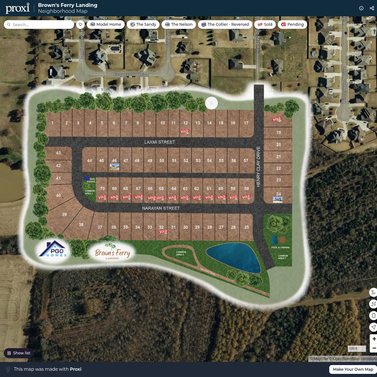
25 stops · Madison County, AL, USAanusha's WorkspaceBrown's Ferry Landing
18 stops rushil's Workspace
Gloriana Capital Management Focus Area
20 stopsDesmond W. Dorsey's Workspace

This map was made with Proxi
Have a main street, a market, or a story worth walking? Make your own map in a few minutes.