
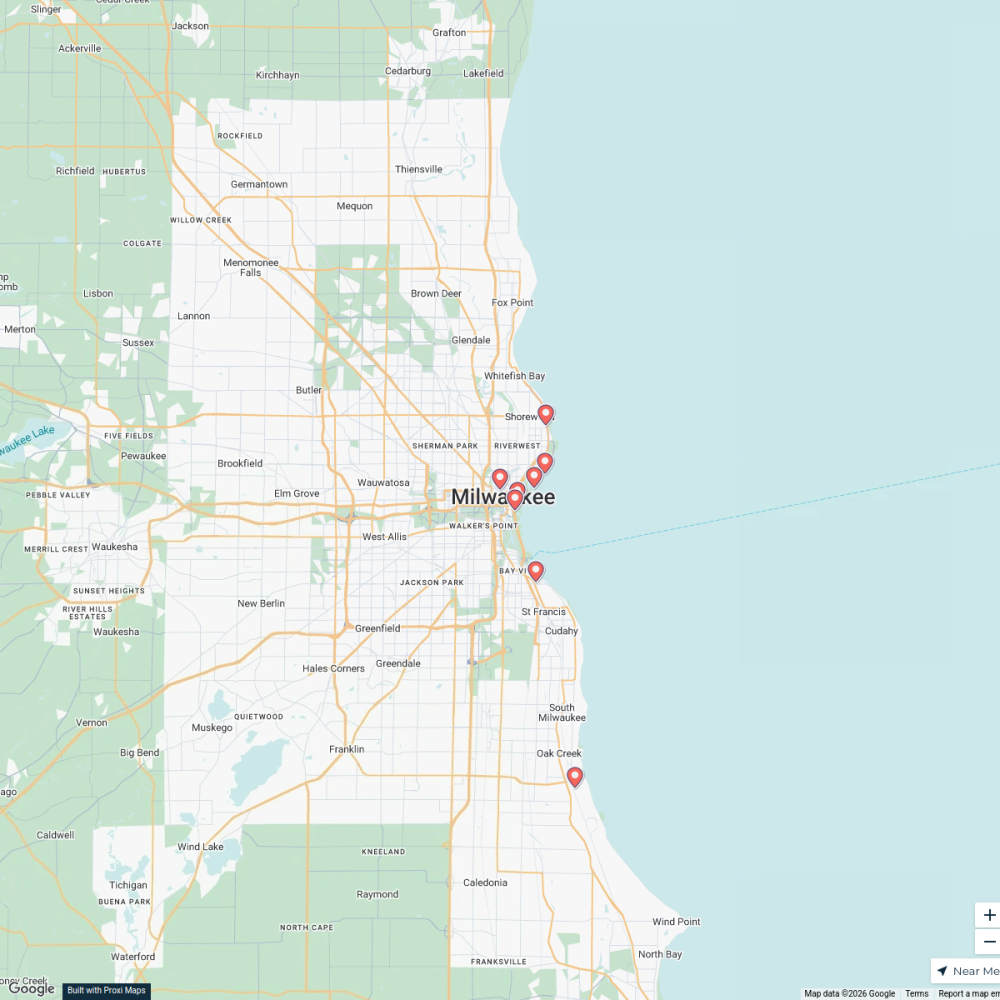
Map · 29 places · Milwaukee, WI
HOP MKE Extension Opportunities
A comprehensive map highlighting potential extensions and developments for the HOP (Milwaukee's streetcar system) within the Milwaukee, WI area. This map outlines current routes, proposed extensions, and key locations that may benefit from increased accessibility.
Made with ProxiUpdated Nov 2025
- Urban Development 11
- Transit Stations 6
- Community Impact 5
- Public Infrastructure 5
- Transportation 2
Places on This Map
29 places · 5 groupsNearby Maps
Places to take a cold plunge
10 stops · Milwaukee, WI, USA Chelsey's Proxi Workspace
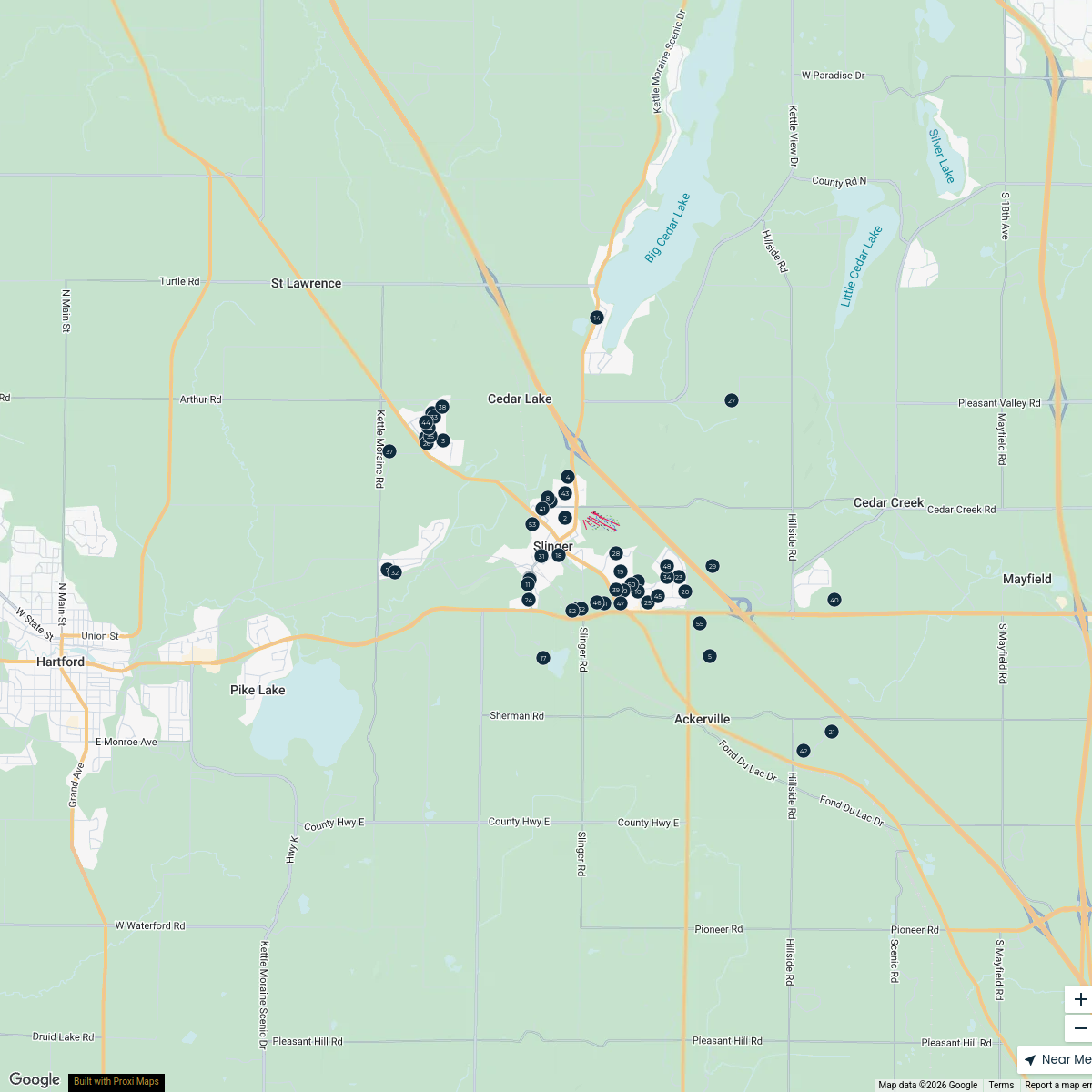
Slinger Village-Wide Rummage Sale
54 stops · Slinger, WI, USA Slinger PRF
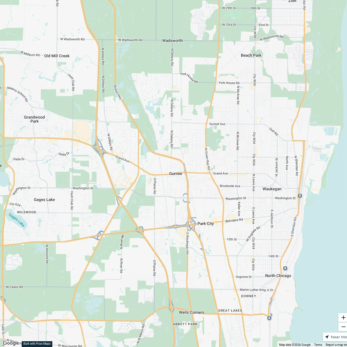
Gurnee, IL Installation Addresses
19 stops · Gurnee, IL, USA emily's Workspace
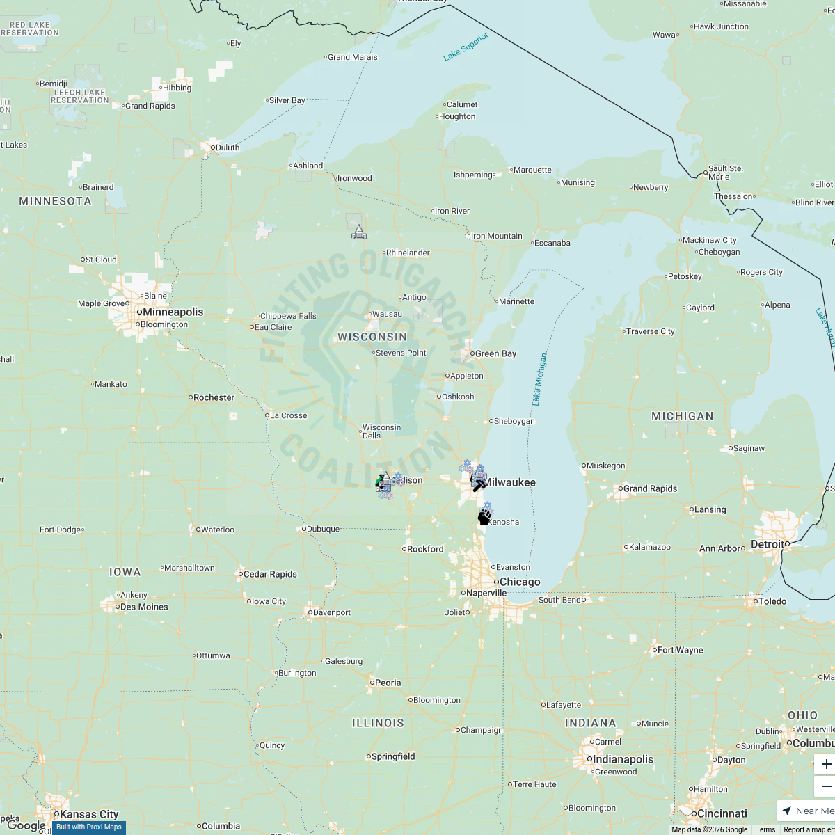
Fighting Oligarchy Coalition Map
21 stops · Wisconsin, USA Gaia Coalition Network (GCN)

places to play bingo near the loop in chicago
10 stops · Chicago Loop, Chicago, IL, USAPaige Wood's WorkspaceDog-Friendly Fenced Rentals
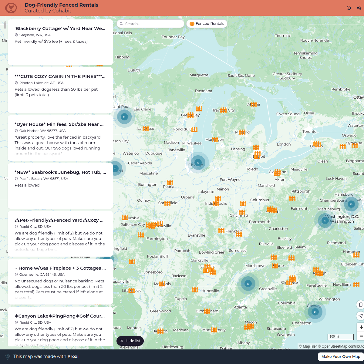
792 stops cohabit
This map was made with Proxi
Have a main street, a market, or a story worth walking? Make your own map in a few minutes.