
Map · 20 places · Beech Grove, IN
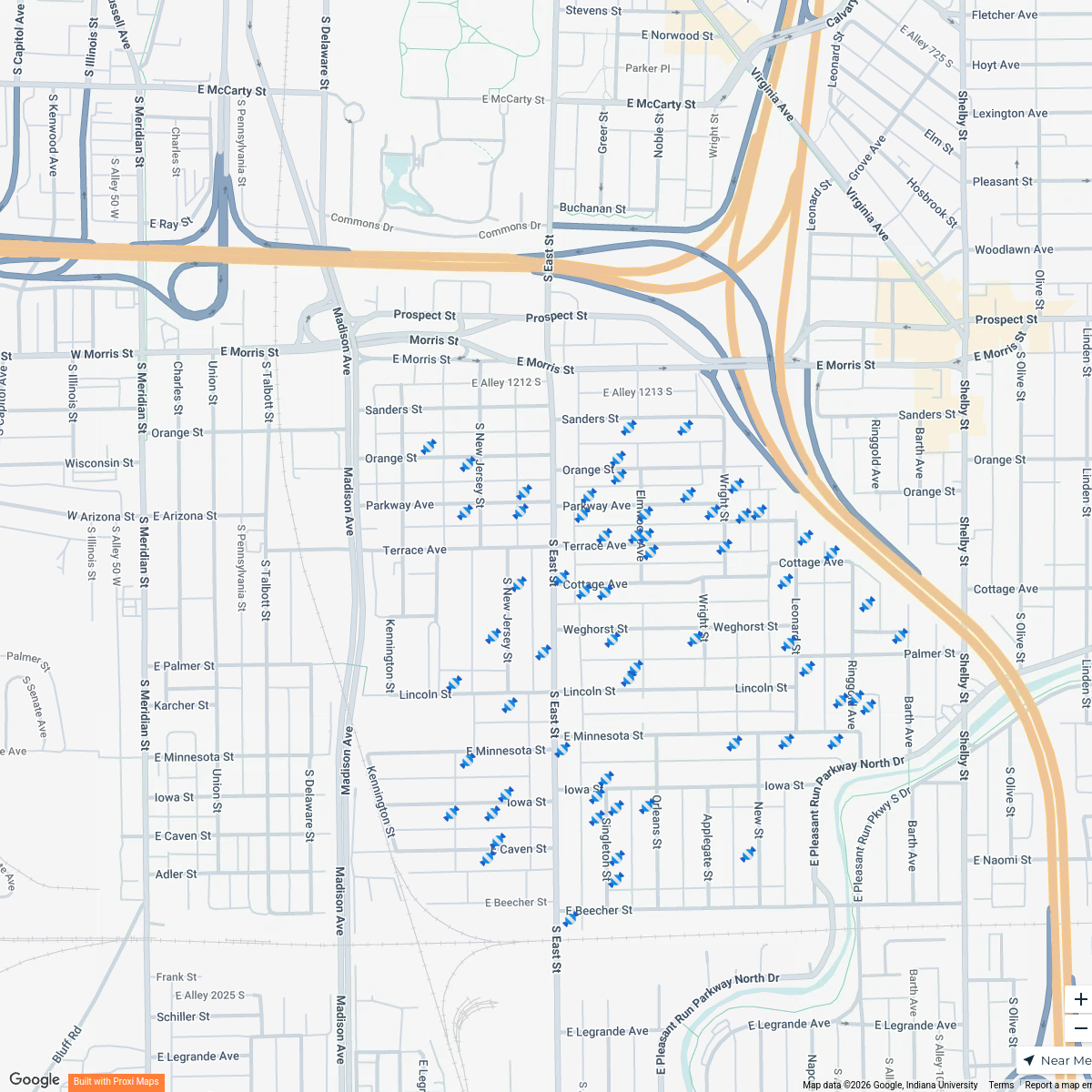
Crime Map of Indianapolis
A detailed map highlighting crime statistics and incidents around 1420 National Ave, Indianapolis, IN 46227, providing insights into safety and crime trends in the area.
Made by castellymarie's WorkspaceUpdated Nov 2025
- Theft 4
- Drug-related crimes 2
Places on This Map
20 places · 2 groupsNearby Maps
Bates-Hendricks Treat Map 2024
67 stops · Bates-Hendricks, Indianapolis, IN, USA Erik Mudrak's Workspace
Indiana Farmers Markets
206 stops · Indianapolis, IN, USA Farm Flavor
Indiana U-Pick Strawberry Farms
40 stops · Indianapolis, IN, USAFarm FlavorBlueberry Farms in Indiana
31 stops · Indianapolis, IN, USAFarm Flavor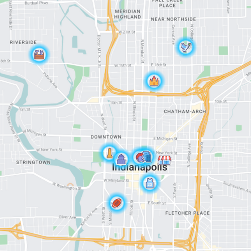
Indy - Places to go and see
12 stops · Indianapolis, IN, USA The Driveby Tourist's Workspace

Historical 1800's in Indianapolis near Indianapolis
4 stops · Indianapolis, IN, USA Chelsey's Proxi Workspace
This map was made with Proxi
Have a main street, a market, or a story worth walking? Make your own map in a few minutes.